Identity summary
4 to 9 days
Spring · Summer · Autumn · Winter
Recommended car
Forest · Lake · River · Nature
Variable accessibility
Sweet rhythm
General presentation
Parc provincial Algonquin
Forests, lakes and rivers of the Canadian Shield form one of the country's major canoe and hiking territories.
Algonquin Provincial Park, Canoe Lake and Mizzy Lake Trail provide the most telling landmarks of Algonquin Provincial Park. Together, they form a destination where forests, shores and lakes, riverscapes and natural spaces meet, with atmospheres that change over the course of the stages rather than just one uniform decor.
See all
For a stay of 4 to 9 days, a quiet rhythm works well. Also to be anticipated: conditions to be checked according to the season. A car is usually the easiest way to connect the different sectors. Accessibility varies from site to site and deserves to be verified step by step.
Strengths and constraints
Strengths
- Algonquin Provincial Park
- Lake Canoe
- Lake Mizzy Trail
Before you choose
- Car often useful
- Conditions to be checked by season
Places worth visiting
A selection to start dreaming and organizing the stay — not an exhaustive list of everything there is to see.
Place indismissible
Parc provincial Algonquin
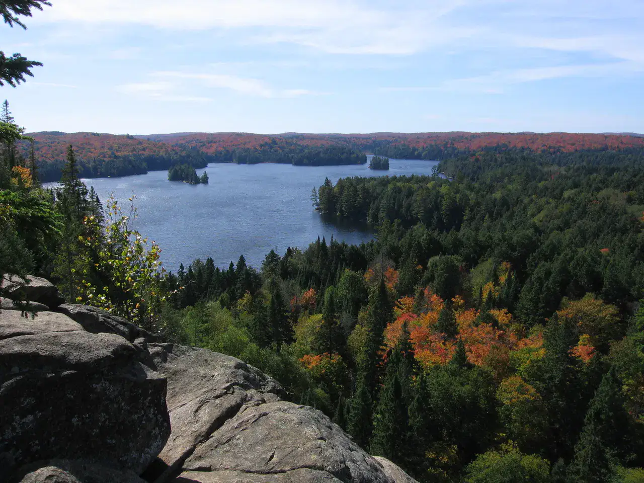
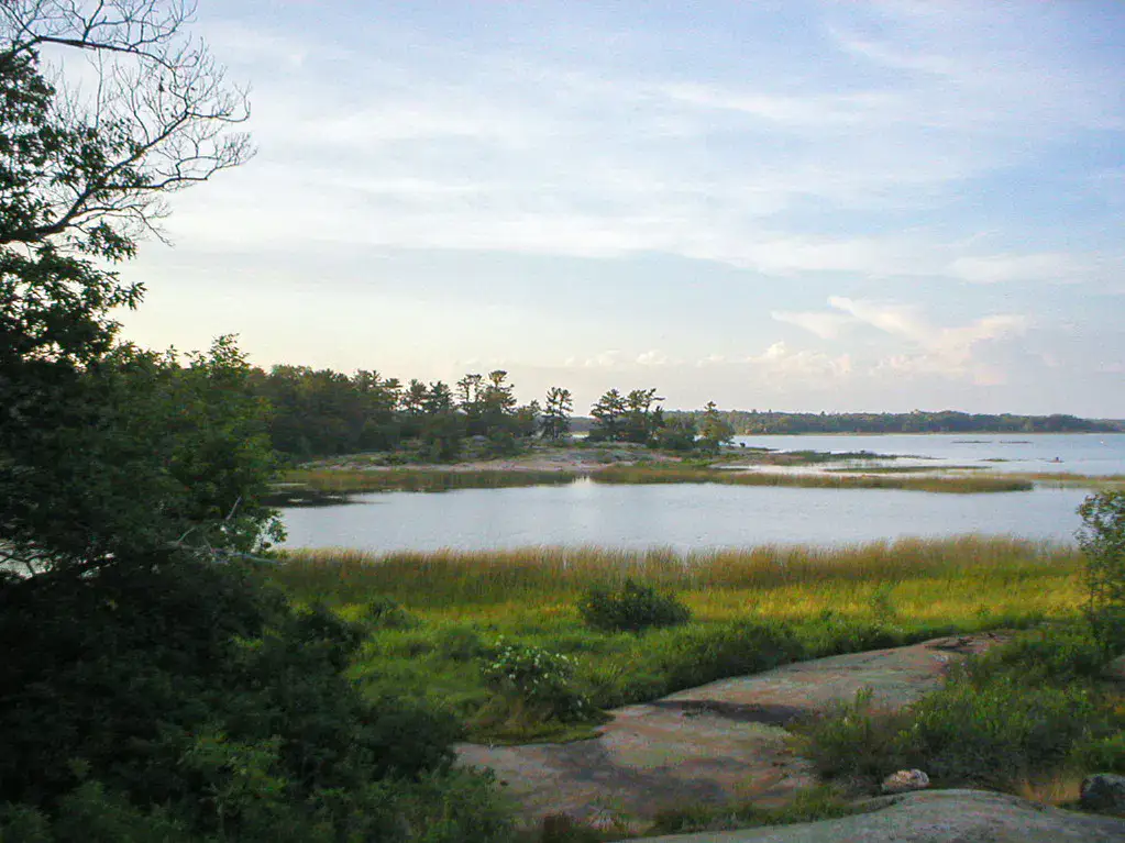
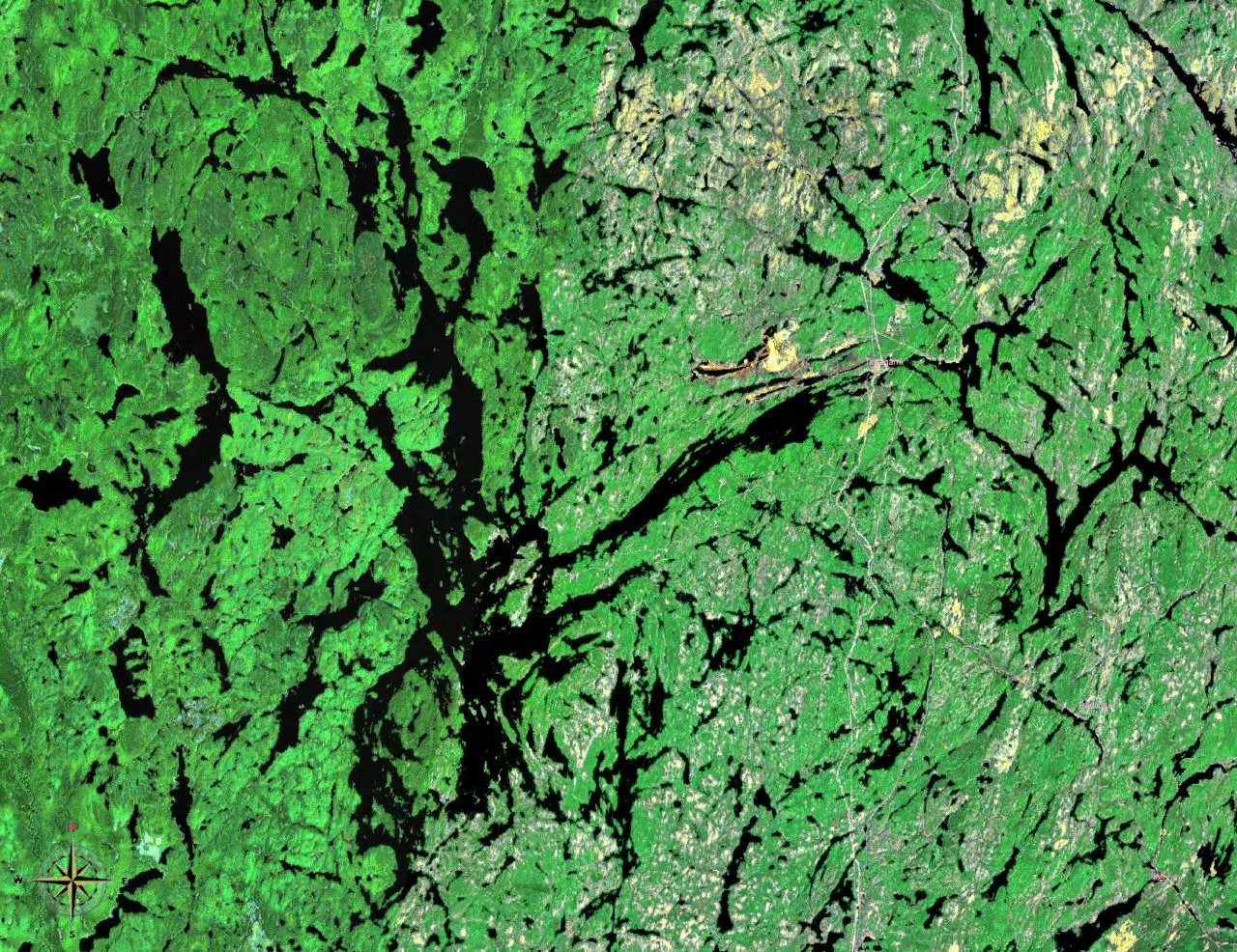
Algonquin deploys a maze of lakes, forests and rivers where the road shows only a small part of the territory. A canoe trip or a walk at dawn reveals the silence of the Canadian Shield and offers real chances of observing moose and beavers.
Lake
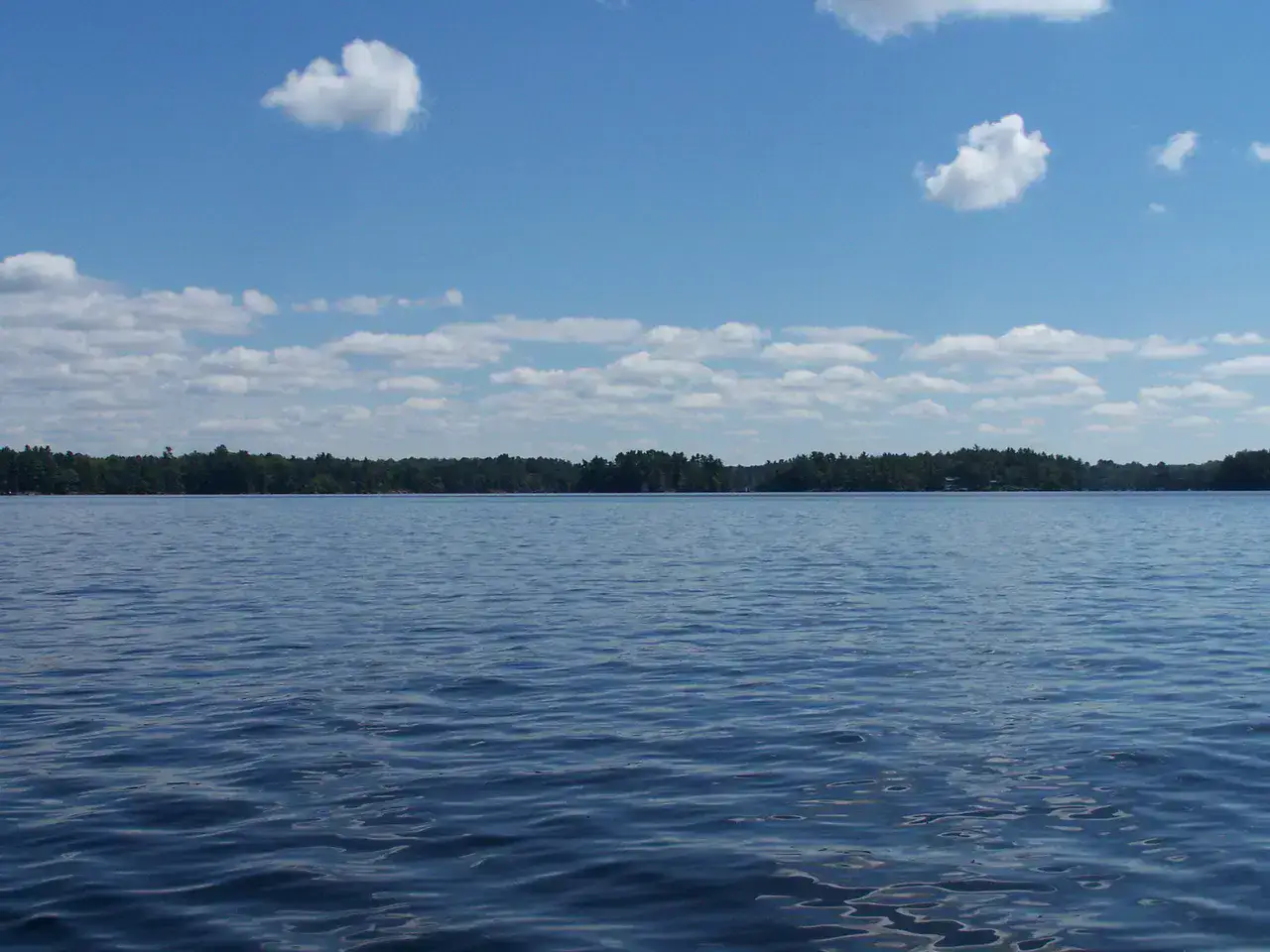
Lac Canoe
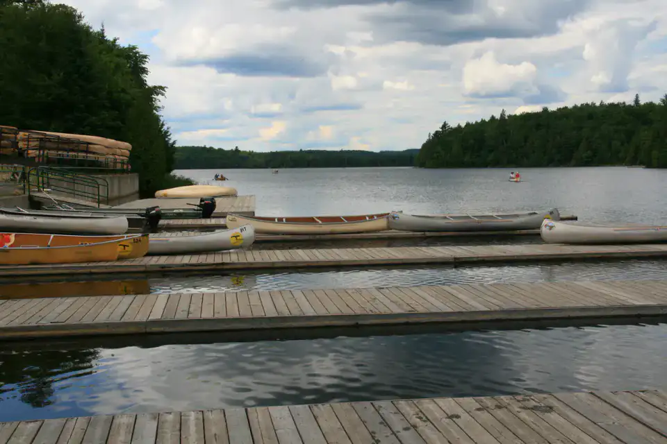
Canoe Lake is one of Algonquin's large water entry gates, with its wooded islands and channels sinking into the backcountry. Renting a canoe allows you to quickly leave the docks and discover the park from its most characteristic element: water.
Place indismissible
Sentier du lac Mizzy
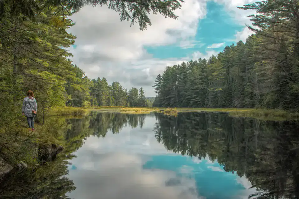
The Mizzy Lake trail crosses ponds, peatlands and forests on a long loop designed for wildlife observation. By leaving early and walking silently, one increases his chances of seeing moose, beavers or waterbirds away from the main road.
Nature and panorama
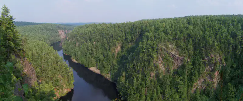
Barron Canyon
Barron Canyon cut the Canadian Shield between high rock walls that dominate the Barron River. A short loop reaches the top points of view, while a canoe route makes it possible to feel the height of the gorge from the water.
Practical tips
This information helps know if the destination matches the planned trip before starting a fuller search.
To go further
More activities
Restaurants, walks, culture, leisure and outings to search without leaving the destination card.
The nearest destinations
The closest ideas on the map, to extend your trip.
Similar destinations
Same landscapes and the same pace of travel, elsewhere in the world.
Escaped to discover
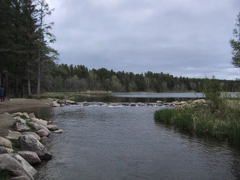
Itasca et sources du Mississippi
Minnesota, 🇺🇸 United States of America
Discover this idea