Identity summary
3 to 7 days
Spring · Summer · Autumn · Winter
Recommended car
River · Forest · Nature
Variable accessibility
Sweet rhythm
General presentation
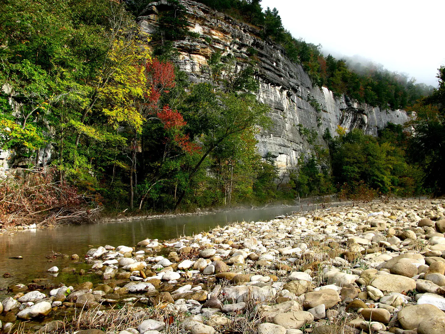
Buffalo National River
Free river with clear waters, framed by limestone cliffs and forests of the Ozarks.
Buffalo National River is discovered around Buffalo National River, Whitaker Point and Hemmed-In Hollow Falls. The stay thus alternates between river landscapes, forests and natural spaces, giving a concrete picture of the destination beyond its only best known site.
See all
For a stay of 3 to 7 days, a quiet rhythm works well. Also to be anticipated: conditions to be checked according to the season. A car is usually the easiest way to connect the different sectors. Accessibility varies from site to site and deserves to be verified step by step.
Strengths and constraints
Strengths
- Buffalo National River
- Whitaker Point
- Hemmed-In Hollow Falls
Before you choose
- Car often useful
- Conditions to be checked by season
Places worth visiting
A selection to start dreaming and organizing the stay — not an exhaustive list of everything there is to see.
River
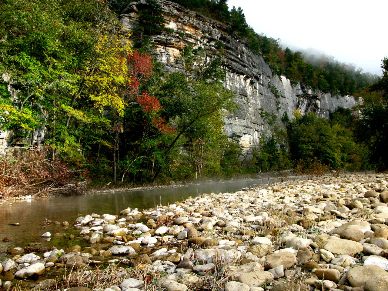
Buffalo National River
Buffalo National River It flows freely between limestone cliffs, forests of the Ozarks, gravels and calm meanders. Depending on the water level, the canoe descent reveals blond walls, wild beaches and silent bends where it is understood why the river was protected.
Nature and landscape
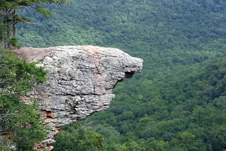
Whitaker Point
Whitaker Point, also called Hawksbill Crag, advances like a rock prow over the wooded valleys of Upper Buffalo. Hiking requires a little attention, but the arrival on this promontory offers one of the most recognizable images of the Arkansas Ozarks.
Nature and panorama
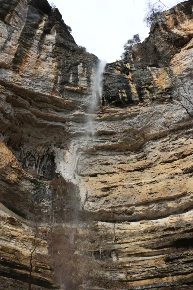
Hemmed-In Hollow Falls
Hemmed-In Hollow Falls falls from a high wall in the forest of the Buffalo National River. Access is earned by a demanding trail or from the river according to conditions, but the rocky circus and vertical water net give a very clear reward to walkers.
Nature and panorama
Lost Valley Trail
Lost Valley Trail concentrates many landscapes of the Ozarks in a short walk: light creek, limestone bluff, cave, seasonal waterfalls and fresh undergrowth. After the rain, the water animates basins and falls; in dry weather, the relief and cavities remain the main attraction.
Practical tips
This information helps know if the destination matches the planned trip before starting a fuller search.
To go further
More activities
Restaurants, walks, culture, leisure and outings to search without leaving the destination card.
The nearest destinations
The closest ideas on the map, to extend your trip.


Similar destinations
Same landscapes and the same pace of travel, elsewhere in the world.
Escaped to discover
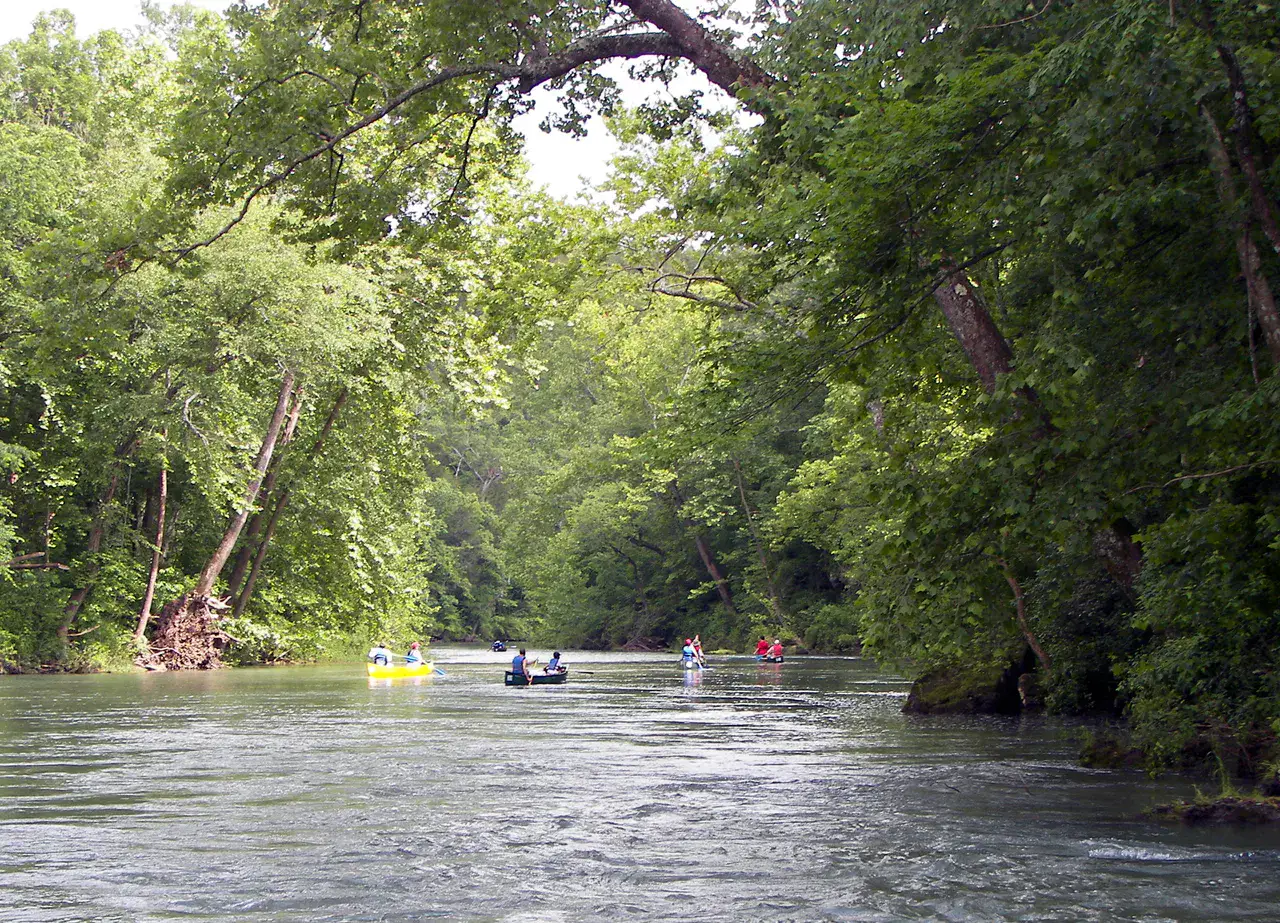
Ozark National Scenic Riverways
Missouri, 🇺🇸 United States of America
Discover this idea
Escaped to discover
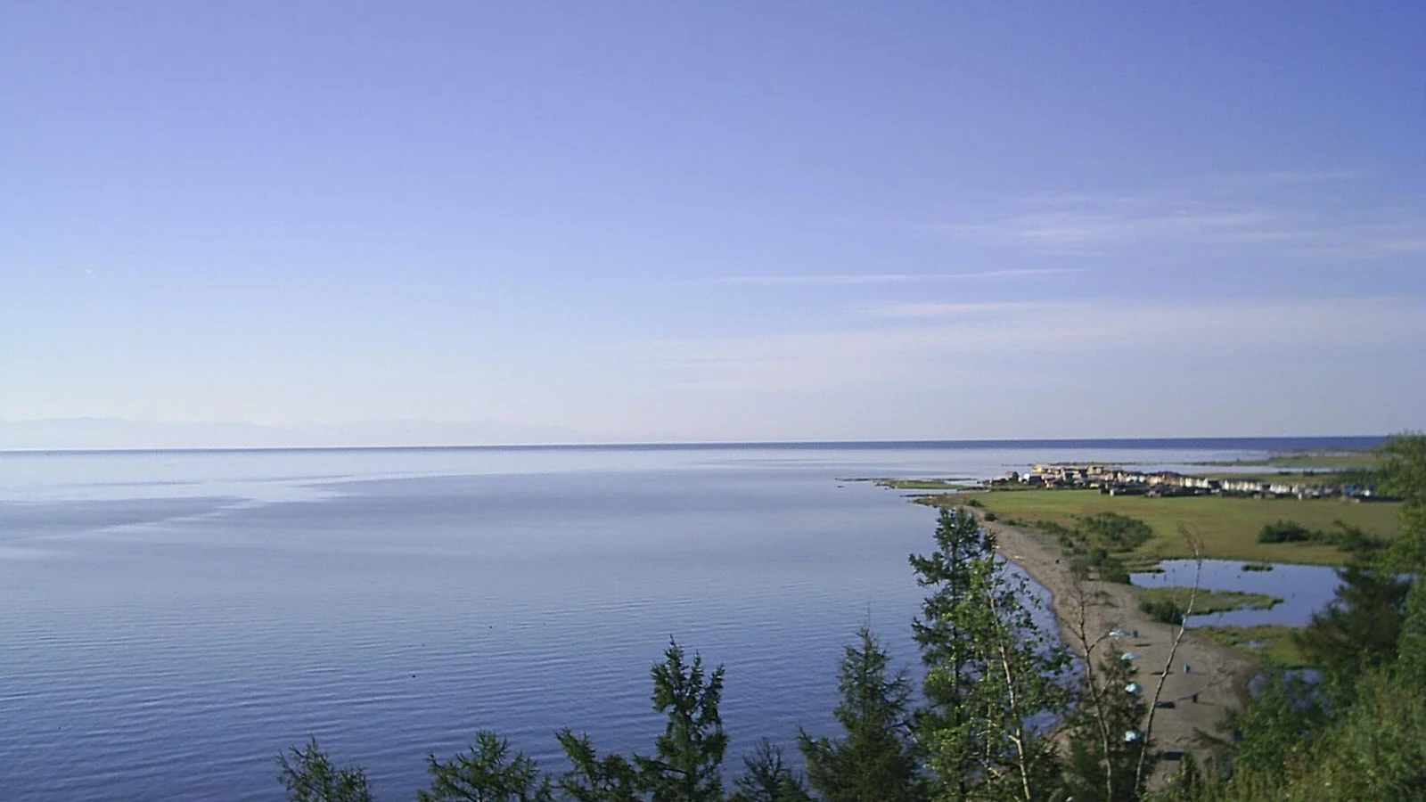
Severobaikalsk and northern Baikal
Buryatia, 🇷🇺 Russian Federation
Discover this idea