Identity summary
2 to 5 days
Spring · Summer · Autumn · Winter
Recommended car
River · Heritage · Countryside
Variable accessibility
Sweet rhythm
General presentation
Great Rivers et Cahokia
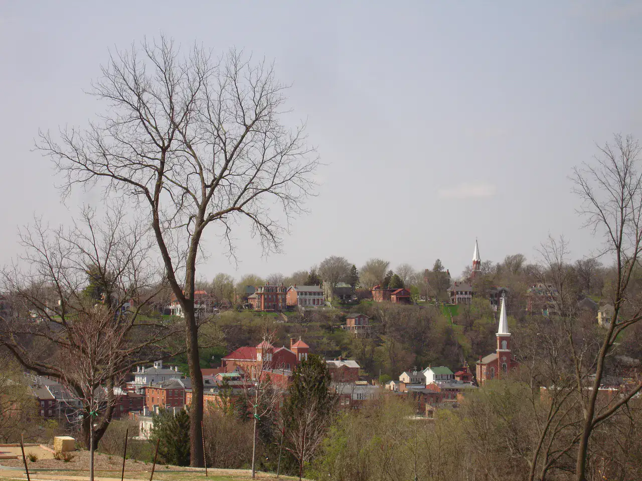
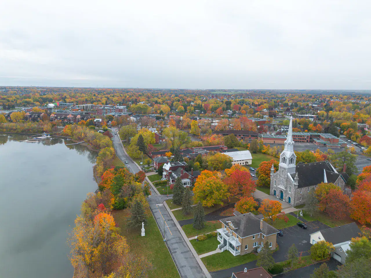
Great landscapes of Mississippi, monumental Aboriginal heritage and small river towns facing Saint-Louis.
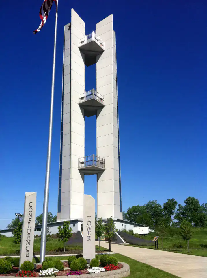
To understand what Great Rivers and Cahokia are, you need to look at Cahokia Mounds, Pere Marquette State Park and Lewis and Clark Confluence Tower. These places give us a view of a territory marked by riverscapes, heritage and countryside and allow us to move from emblematic sites to more intimate stages.
See all
For a stay of 2 to 5 days, a quiet rhythm works well. Also to be anticipated: important distances between certain places. A car is usually the easiest way to connect the different sectors. Accessibility varies from site to site and deserves to be verified step by step.
Strengths and constraints
Strengths
- Cahokia Mounds
- Pere Marquette State Park
- Lewis and Clark Confluence Tower
Before you choose
- Recommended car to connect sites
- Important distances between certain places
Places worth visiting
A selection to start dreaming and organizing the stay — not an exhaustive list of everything there is to see.
Place indismissible
Cahokia Mounds
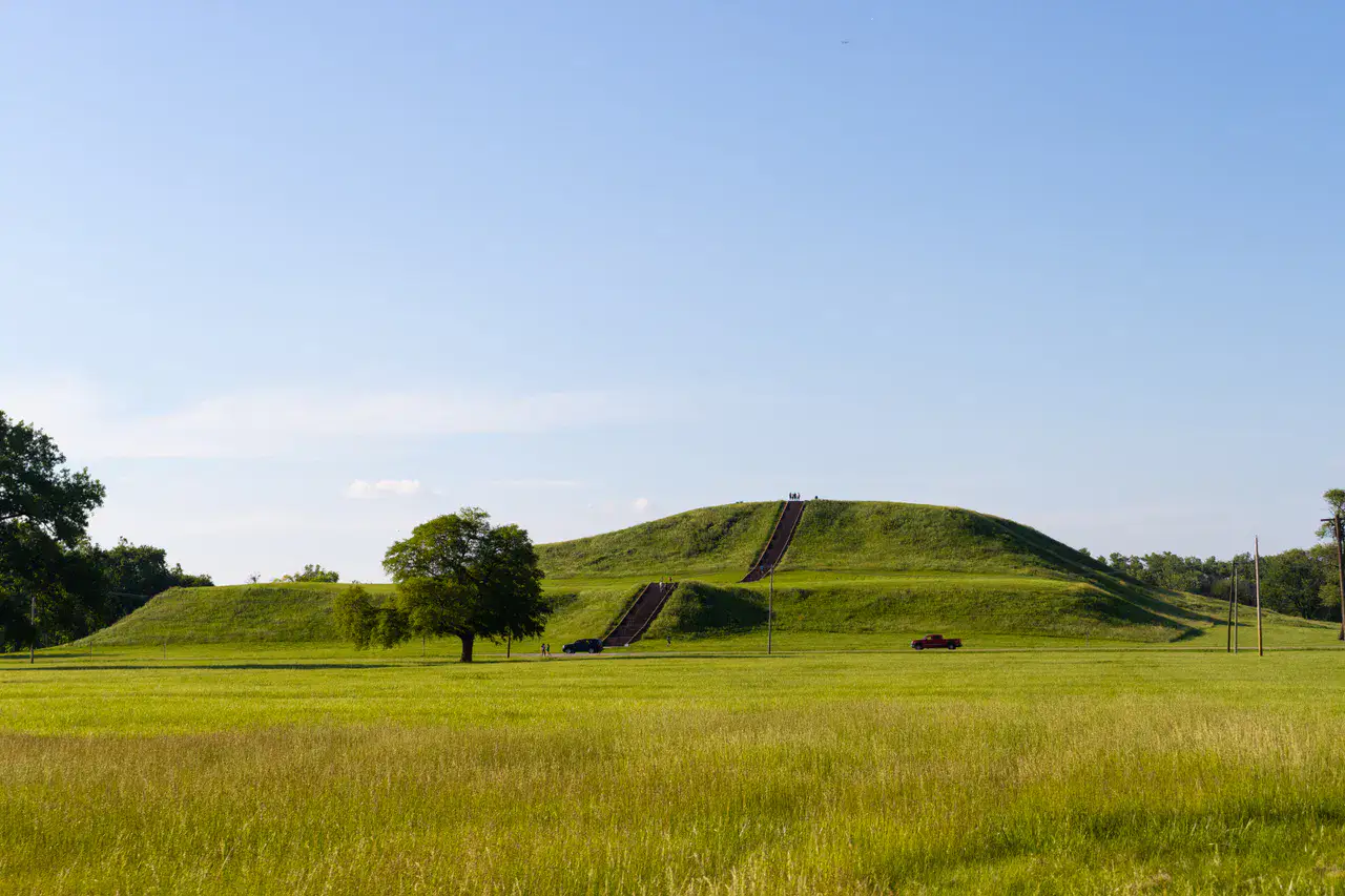
Cahokia Mounds preserves the mounds of a large pre-Columbian Amerindian city, which Monks Mound still measures from the plain. As we climb up the embankments, we distinguish the alignments, ceremonial spaces and the current proximity of Saint-Louis. The site strikes by this contrast between an almost open landscape and the memory of a missing city.
Nature and landscape
Pere Marquette State Park
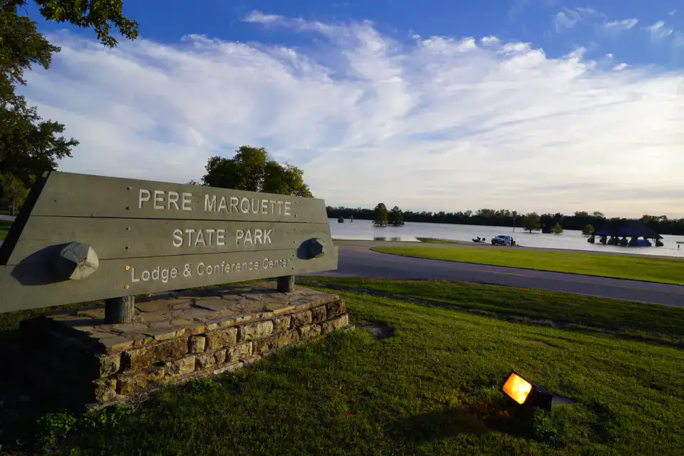
Pere Marquette State Park The park's paths provide a peaceful yet powerful setting for understanding the strategic role of the confluence in regional narratives. The park's roads provide a peaceful, yet powerful environment for understanding the confluence's strategic role in regional narratives.
Place indismissible
Lewis and Clark Confluence Tower
The Confluence Tower dominates the place where Missouri and Mississippi meet, giving an aerial reading of the flood plains and the riparian islands. The platforms serve as viewpoints to follow the curves of the two rivers and imagine the departures of exploration.
Practical tips
This information helps know if the destination matches the planned trip before starting a fuller search.
To go further
More activities
Restaurants, walks, culture, leisure and outings to search without leaving the destination card.
The nearest destinations
The closest ideas on the map, to extend your trip.
Similar destinations
Same landscapes and the same pace of travel, elsewhere in the world.