The notebook of Tombstone and the Dempster Highway
Walk toward a clearer light.
Subarctic landscape of dark ridges, tundra, open valleys and mythical road to the Arctic Circle.
At your own pace
Identity summary
4 to 8 days
Spring · Summer · Autumn · Winter
Recommended car
Mountain · Nature
Variable accessibility
Modular rhythm
General presentation
Tombstone and the Dempster Highway
Subarctic landscape of dark ridges, tundra, open valleys and mythical road to the Arctic Circle.
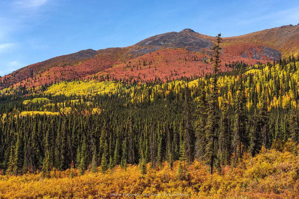
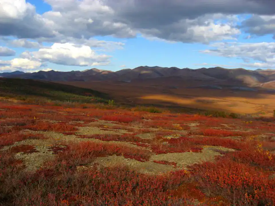
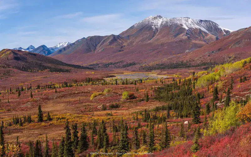
To understand what Tombstone and Dempster Road are, you need to look at Tombstone Territorial Park, Dempster Highway and Ogilvie Mountains. These places give us a view of a territory marked by mountain reliefs and natural spaces and allow us to move from emblematic sites to more intimate stages.
See all
For a stay of 4 to 8 days, it is better to balance visits and travel times. Also to be anticipated: conditions to be checked according to the season. A car is usually the easiest way to connect the different sectors. Accessibility varies from site to site and deserves to be verified step by step.
Strengths and constraints
Strengths
- Tombstone Territorial Park
- Dempster Highway
- Ogilvie Mountains
Before you choose
- Car often useful
- Conditions to be checked by season
Places worth visiting
A selection to start dreaming and organizing the stay — not an exhaustive list of everything there is to see.
Nature park
Tombstone Territorial Park
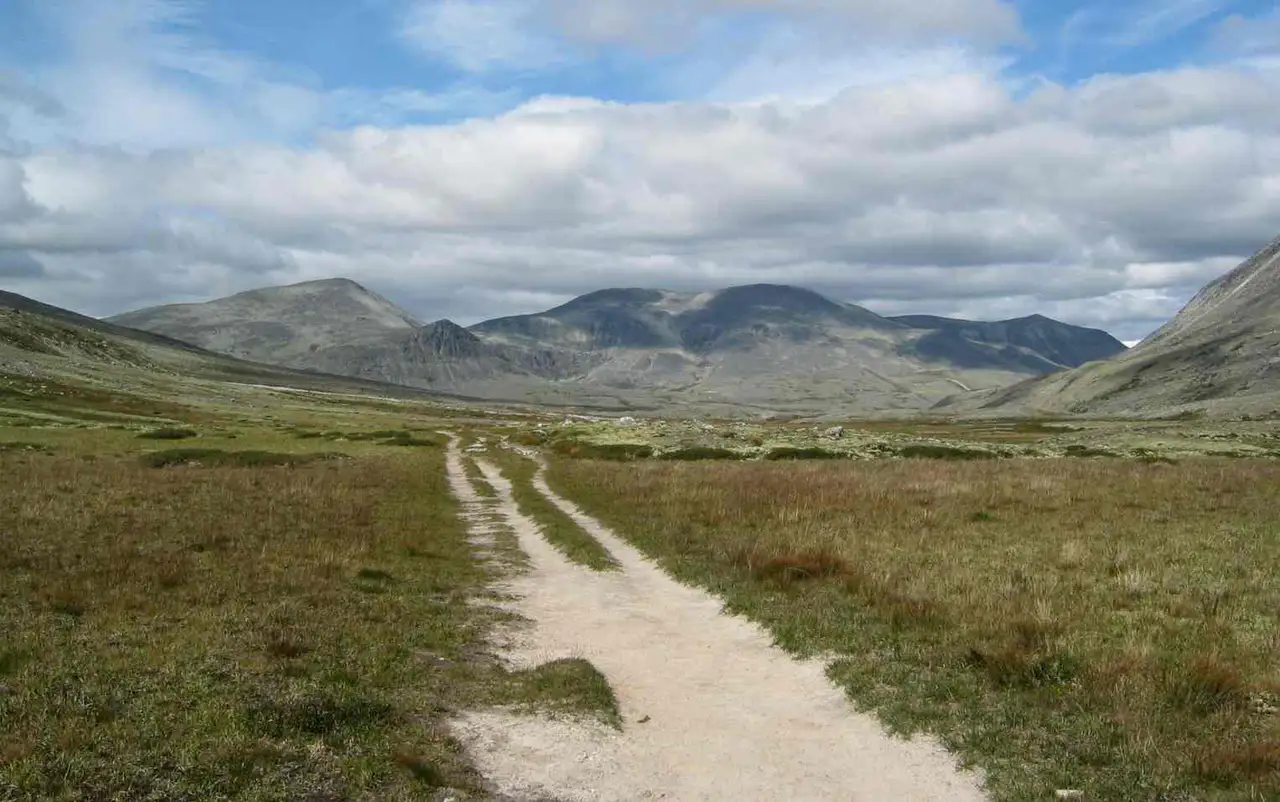
Tombstone Territorial Park The trails give an intense Nordic experience, with a fast weather and little shelter. The trails are very clear in the late summer.
Place indismissible
Dempster Highway
The Dempster Highway Traces a gravel road through mountains, taiga and tundra to the Arctic. Traveling through it requires preparation and margins, but it provides access to one of the major road crossings in Canada's North.
Nature and panorama
Ogilvie Mountains
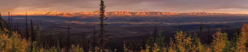
The Ogilvie Mountains frame the Dempster road with dry, pleated and very open reliefs. Their presence gives the route a succession of thresholds, passes and long views that change according to the light.
River
North Klondike River
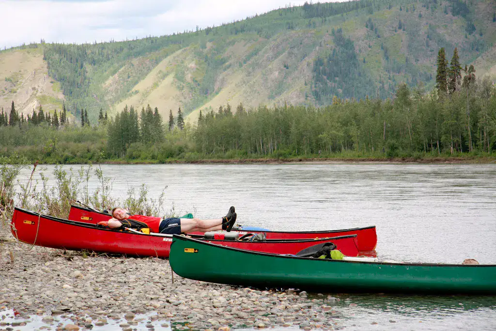
The Klondike River accompanies part of the road to Dawson and the scenery of the Tombstone. Its meanderings and gravel banks remind that water, as well as the road, organizes the movements in this area.
Practical tips
This information helps know if the destination matches the planned trip before starting a fuller search.
To go further
More activities
Restaurants, walks, culture, leisure and outings to search without leaving the destination card.
The nearest destinations
The closest ideas on the map, to extend your trip.
Similar destinations
Same landscapes and the same pace of travel, elsewhere in the world.