Jurnal milik Buffalo National River
Berjalan di antara bayangan sejuk dan cahaya terbuka.
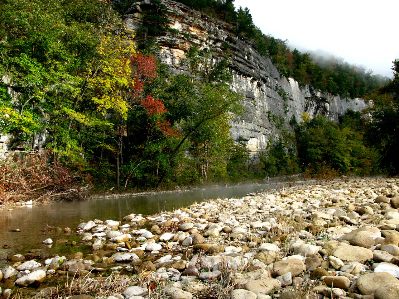
Free river with clear waters, framed by limestone cliffs and forests of the Ozarks.
Sesuai ritme Anda
Ringkasan identitas
3 hingga 7 hari
Musim semi · Musim panas · Musim gugur · Musim dingin
Mobil disarankan
Sungai · Hutan · Alam
Aksesibilitas bervariasi
Ritme santai
Presentasi umum
Buffalo National River
Free river with clear waters, framed by limestone cliffs and forests of the Ozarks.
Buffalo National River is discovered around Buffalo National River, Whitaker Point and Hemmed-In Hollow Falls. The stay thus alternates between river landscapes, forests and natural spaces, giving a concrete picture of the destination beyond its only best known site.
Lihat semua
For a stay of 3 to 7 days, a quiet rhythm works well. Also to be anticipated: conditions to be checked according to the season. A car is usually the easiest way to connect the different sectors. Accessibility varies from site to site and deserves to be verified step by step.
Keunggulan dan kendala
Keunggulan
- Buffalo National River
- Whitaker Point
- Hemmed-In Hollow Falls
Perlu diketahui sebelum memilih
- Car often useful
- Conditions to be checked by season
Tempat wajib dikunjungi
Pilihan untuk mulai bermimpi dan mengatur perjalanan — bukan daftar lengkap semua yang bisa dilihat.
Sungai
Buffalo National River
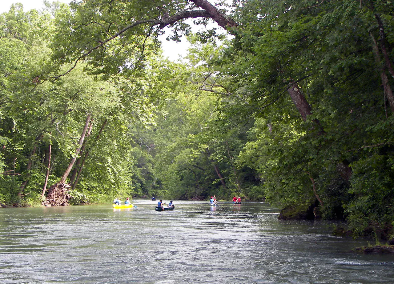
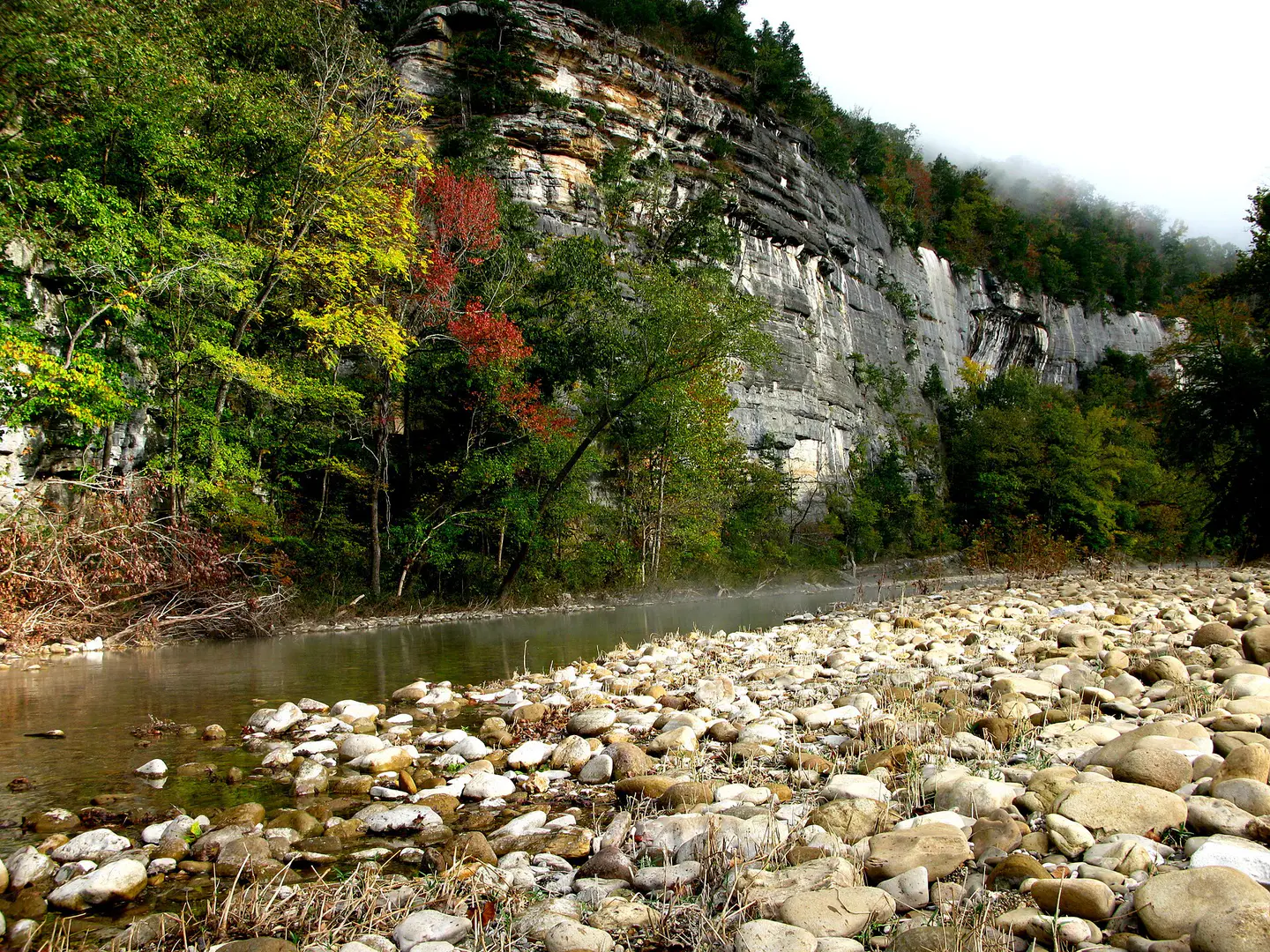
Buffalo National River It flows freely between limestone cliffs, forests of the Ozarks, gravels and calm meanders. Depending on the water level, the canoe descent reveals blond walls, wild beaches and silent bends where it is understood why the river was protected.
Nature and landscape
Whitaker Point
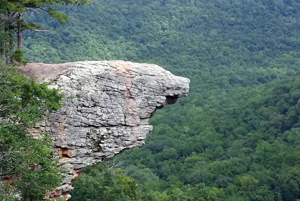
Whitaker Point, also called Hawksbill Crag, advances like a rock prow over the wooded valleys of Upper Buffalo. Hiking requires a little attention, but the arrival on this promontory offers one of the most recognizable images of the Arkansas Ozarks.
Nature and panorama
Hemmed-In Hollow Falls
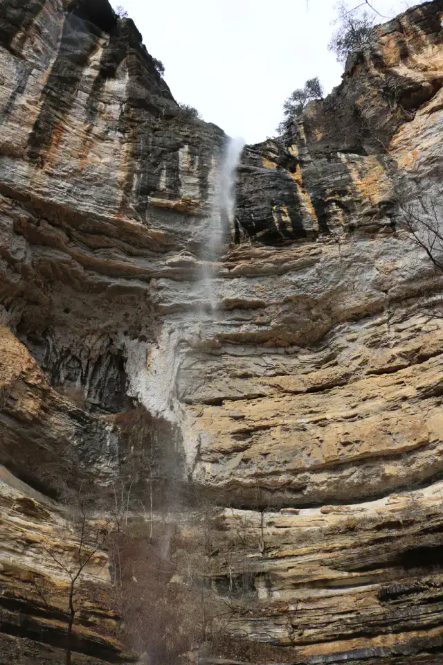
Hemmed-In Hollow Falls falls from a high wall in the forest of the Buffalo National River. Access is earned by a demanding trail or from the river according to conditions, but the rocky circus and vertical water net give a very clear reward to walkers.
Nature and panorama
Lost Valley Trail
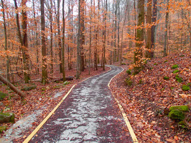
Lost Valley Trail concentrates many landscapes of the Ozarks in a short walk: light creek, limestone bluff, cave, seasonal waterfalls and fresh undergrowth. After the rain, the water animates basins and falls; in dry weather, the relief and cavities remain the main attraction.
Tips praktis
This information helps know if the destination matches the planned trip before starting a fuller search.
Untuk lebih lanjut
Aktivitas lainnya
Restoran, jalan-jalan, budaya, hiburan, dan wisata yang dapat dicari tanpa meninggalkan halaman destinasi.
Destinasi terdekat
Ide terdekat di peta, untuk memperpanjang perjalanan.
Mirip dengan ini
Lanskap dan ritme perjalanan yang sama, di tempat lain di dunia.