
Jurnal milik Cape Breton Highlands
Biarkan pesisir menggambar rutenya.
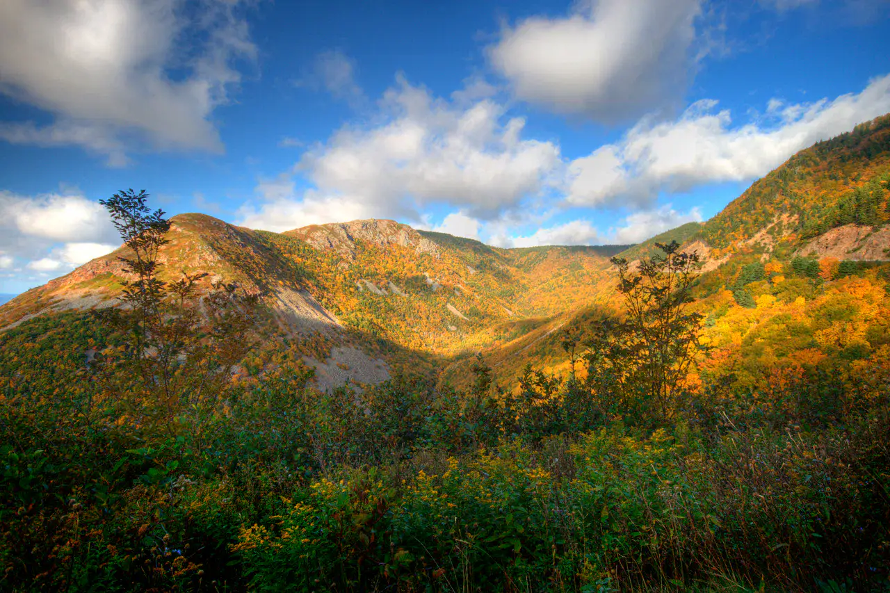
Forestlands, ocean cliffs and deep valleys are the most spectacular landscape on Cape Breton Island.
Sesuai ritme Anda
Ringkasan identitas
4 hingga 8 hari
Musim semi · Musim panas · Musim gugur · Musim dingin
Mobil disarankan
Gunung · Pesisir · Hutan · Alam
Aksesibilitas bervariasi
Ritme fleksibel
Presentasi umum
Cape Breton Highlands
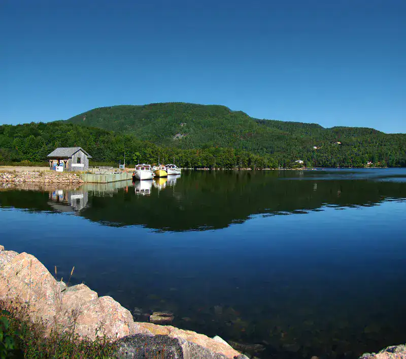
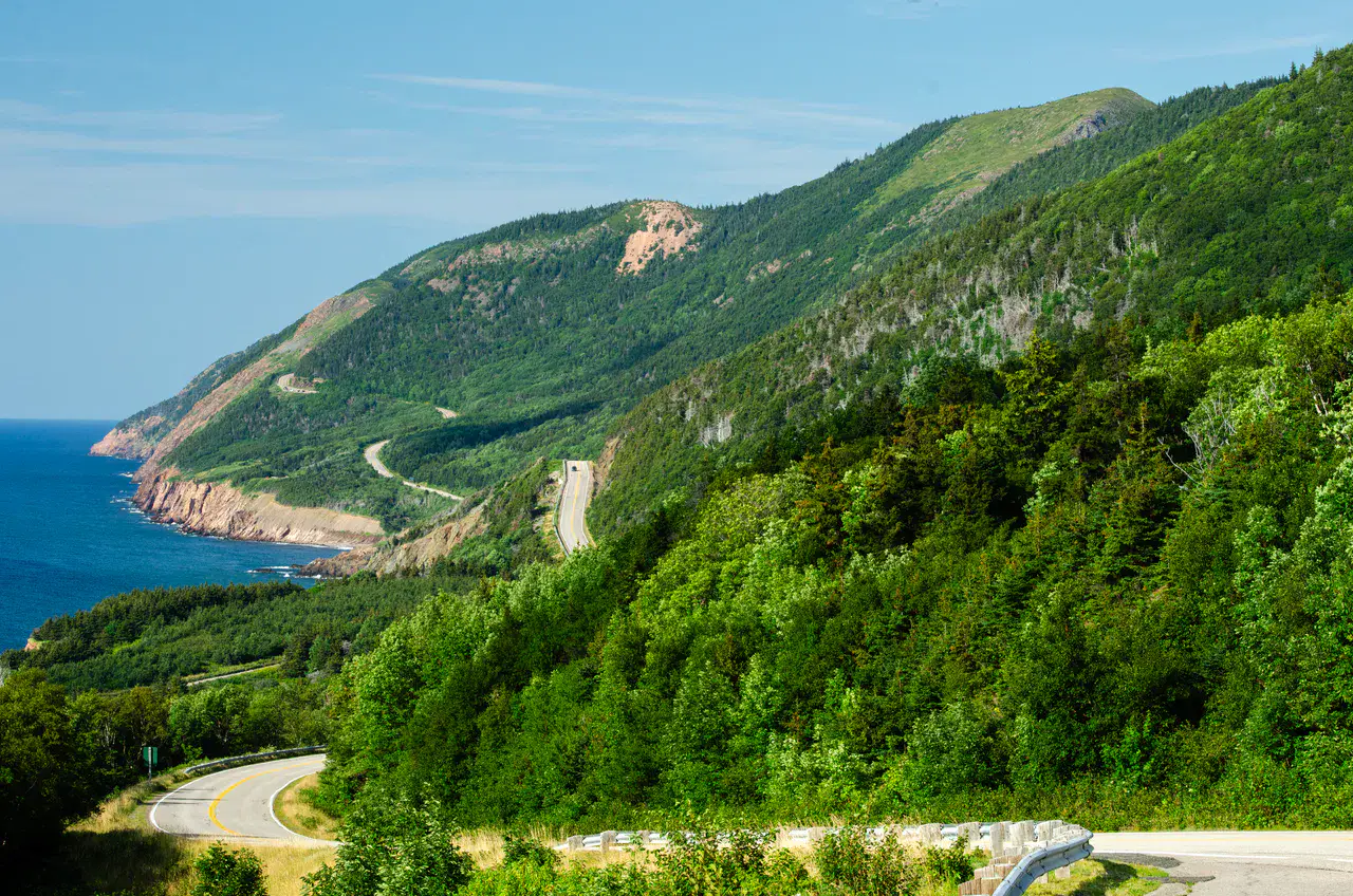
Forestlands, ocean cliffs and deep valleys are the most spectacular landscape on Cape Breton Island.
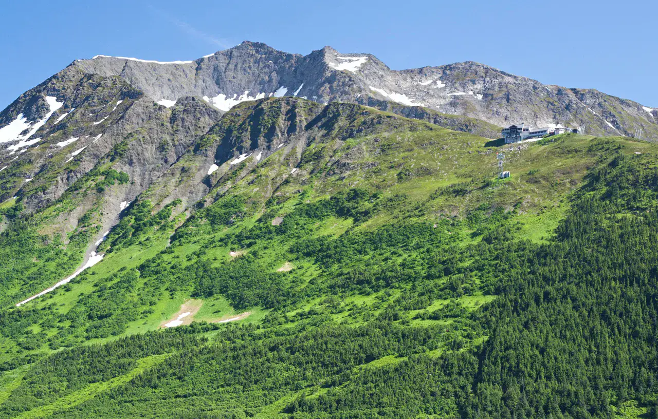
To understand what Cape Breton Highlands is, you must look at Cape Breton Highlands National Park, Skyline Trail and Middle Head Trail. These places give you a view of a territory marked by mountain reliefs, coastline, forests and natural spaces and allow you to move from emblematic sites to more intimate stages.
Lihat semua
For a stay of 4 to 8 days, it is better to balance visits and travel times. Also to be anticipated: conditions to be checked according to the season. A car is usually the easiest way to connect the different sectors. Accessibility varies from site to site and deserves to be verified step by step.
Keunggulan dan kendala
Keunggulan
- Cape Breton Highlands National Park
- Skyline Trail
- Middle Head Trail
Perlu diketahui sebelum memilih
- Car often useful
- Conditions to be checked by season
Tempat wajib dikunjungi
Pilihan untuk mulai bermimpi dan mengatur perjalanan — bukan daftar lengkap semua yang bisa dilihat.
Taman alam
Cape Breton Highlands National Park
The National Park of Hautes-Terres-du-Cap-Breton The Cabot Trail reveals several faces, from the wind-swept viewpoints to the beaches of Ingonish, with good chances of seeing moose or eagles.
Nature and panorama
Skyline Trail
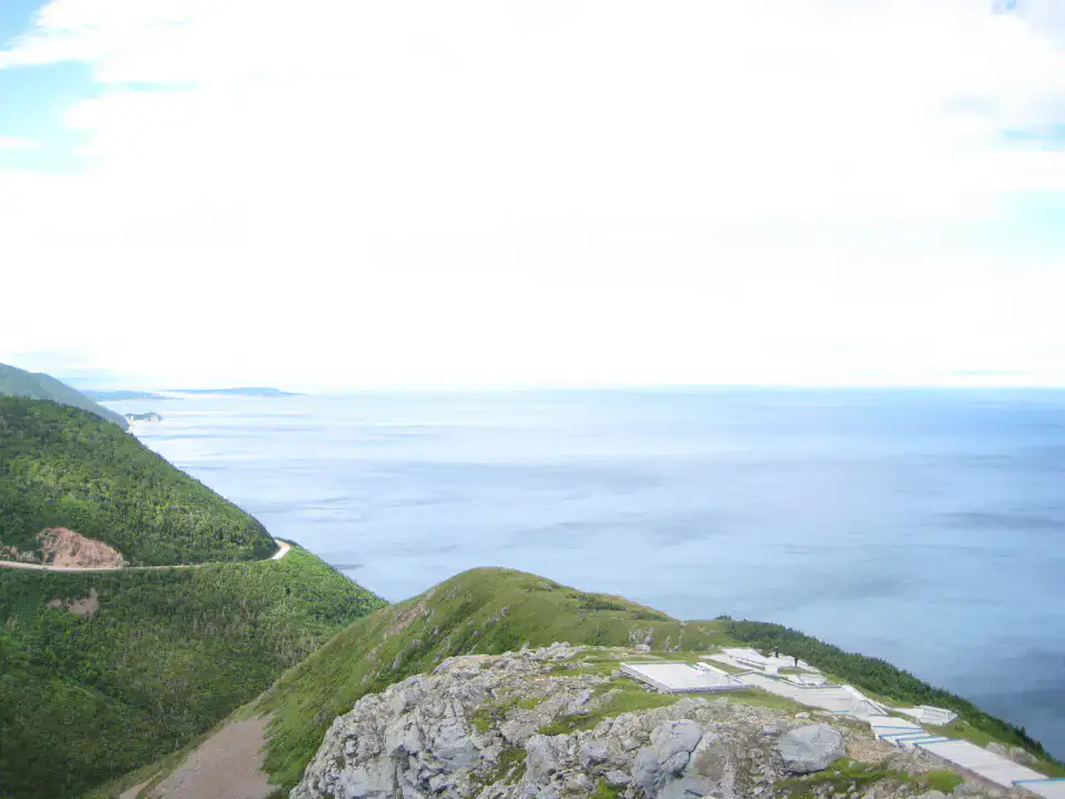
Skyline Trail head to a clear plateau before descending to a panoramic bridge suspended above the coast. The look follows the Cabot Trail, the cliffs and the Gulf of St. Lawrence; at the end of the day, the clear light often turns the walk into a long maritime scene.
Nature and panorama
Middle Head Trail
Middle Head Trail occupies a narrow earthy tongue between two bays of Ingonish, with regular openings on the ocean and the nearby caps. The trail alternates low forest, rocks and viewpoints, making it a nerve but accessible coastal walk.
Nature and landscape
Ingonish Beach
In Ingonish Beach, the Atlantic Ocean meets a cordon of pebbles and sand, with the hills of the park in the background. The beach is appreciated for swimming when the weather is ready, but also for walking to the sound of the waves before or after the paths of the area.
Tips praktis
This information helps know if the destination matches the planned trip before starting a fuller search.
Untuk lebih lanjut
Aktivitas lainnya
Restoran, jalan-jalan, budaya, hiburan, dan wisata yang dapat dicari tanpa meninggalkan halaman destinasi.
Destinasi terdekat
Ide terdekat di peta, untuk memperpanjang perjalanan.
Mirip dengan ini
Lanskap dan ritme perjalanan yang sama, di tempat lain di dunia.
Pelarian untuk dijelajahi
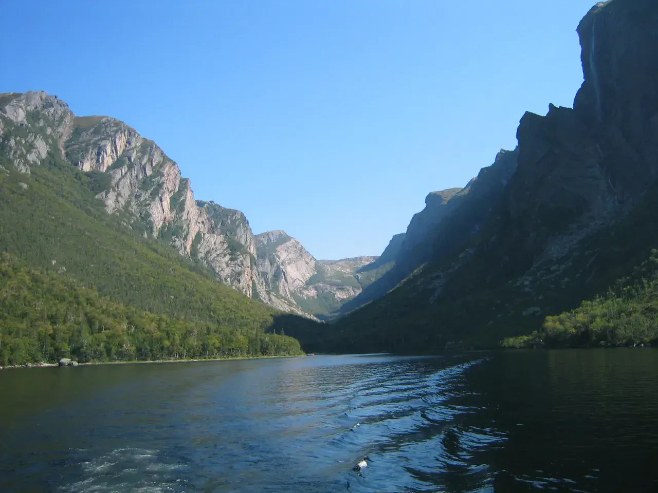
Gros Morne National Park
Newfoundland dan Labrador, 🇨🇦 Kanada
Temukan ide ini