Newfoundland dan Labrador, Kanada
Corner Brook and the Humber Valley
Jurnal milik Corner Brook and the Humber Valley
Mencari cakrawala di balik tanjakan.
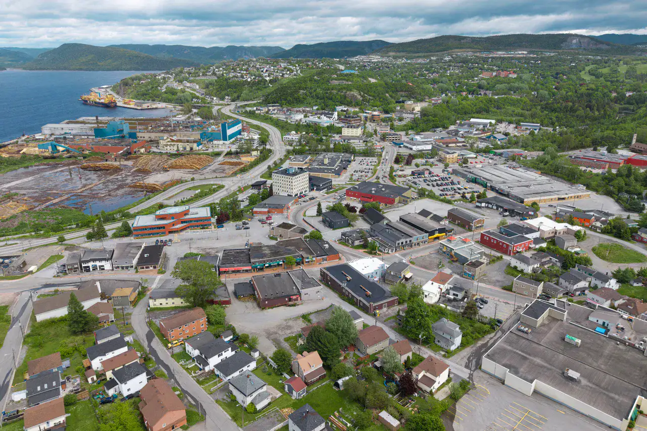
Western town surrounded by hills, forests and an estuary opening onto the Bay of the Islands.
Sesuai ritme Anda
Ringkasan identitas
2 hingga 5 hari
Musim semi · Musim panas · Musim gugur · Musim dingin
Mobil disarankan
Kota · Sungai · Gunung · Hutan
Aksesibilitas baik
Ritme fleksibel
Presentasi umum
Corner Brook and the Humber Valley
Western town surrounded by hills, forests and an estuary opening onto the Bay of the Islands.
Captain James Cook National Historic Site, Marble Mountain and Humber River provide the most telling landmarks of Corner Brook and Humber Valley. Together, they form a destination where urban life, riverscapes, mountain reliefs and forests meet, with atmospheres that change over the stages rather than just one uniform decor.
Lihat semua
For a stay of 2 to 5 days, it is better to balance visits and travel times. Also to be anticipated: conditions to be checked according to the season. A car is usually the easiest way to connect the different sectors. The main sites are generally easy to access.
Keunggulan dan kendala
Keunggulan
- Captain James Cook National Historic Site
- Marble Mountain
- Humber River
Perlu diketahui sebelum memilih
- Car often useful
- Conditions to be checked by season
Tempat wajib dikunjungi
Pilihan untuk mulai bermimpi dan mengatur perjalanan — bukan daftar lengkap semua yang bisa dilihat.
Culture and heritage
Captain James Cook National Historic Site
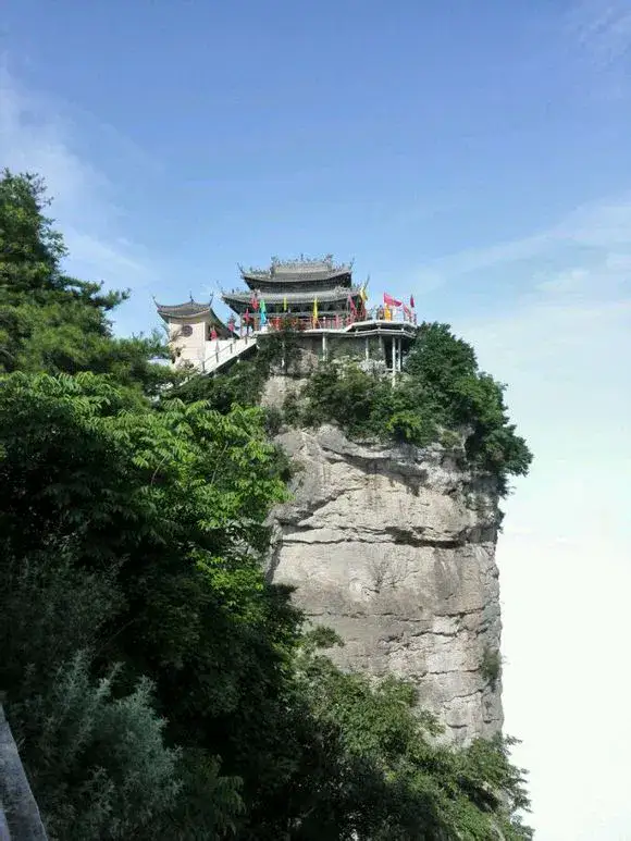
Captain James Cook National Historic Site dominates Corner Brook The bay of the Islands from a clear viewpoint is reminiscent of Cook's charting on the coast of Newfoundland, but its appeal is also due to the view: Humber River, town, wooded hills and sea arms below.
Nature and panorama
Marble Mountain
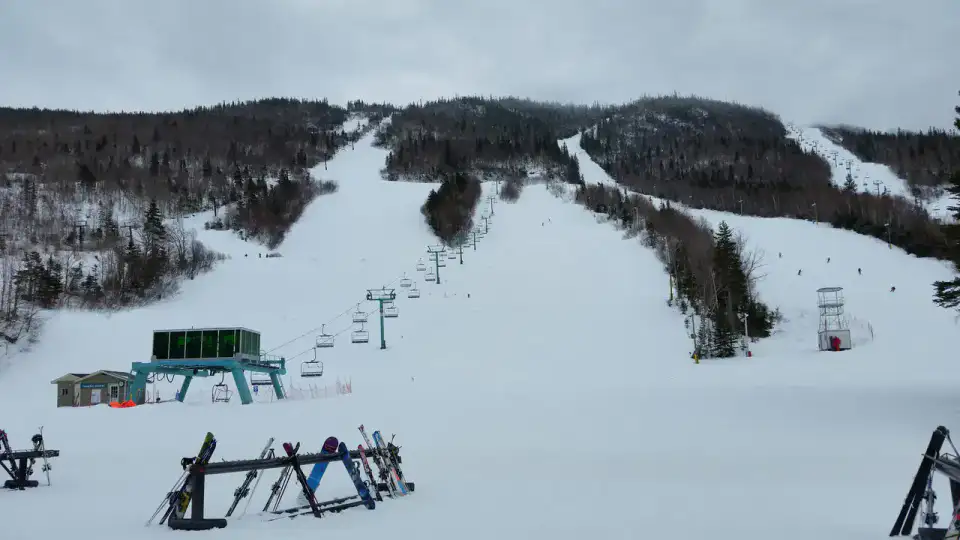
Marble Mountain The mountain rises above the Humber Valley, near Steady Brook, with slopes known for skiing in winter. Without snow, the mountain remains a strong landmark of the winter landscape. Corner Brook, between wooded slopes, river below and frank colours when autumn wins the Long Range.
Sungai
Humber River
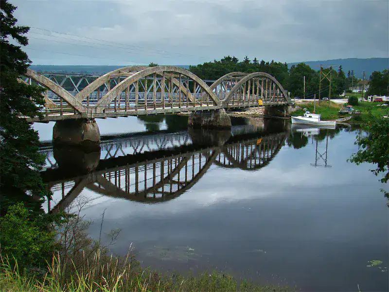
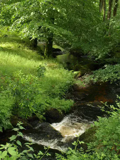
The Humber River descends from the Long Range Mountains to the Bay of the Islands through a large, wooded valley. Corner Brook and Deer Lake, it accompanies roads, bridges, salmon fishing and outdoor exits, with a constant presence of wide and dark current.
Nature and panorama
Steady Brook Falls
Steady Brook Falls The waterfall falls into a fresh ravine, surrounded by trees and wet rocks; it is a simple but very sensory stop, especially after rain or when the snow melts in the valley.
Tips praktis
This information helps know if the destination matches the planned trip before starting a fuller search.
Untuk lebih lanjut
Aktivitas lainnya
Restoran, jalan-jalan, budaya, hiburan, dan wisata yang dapat dicari tanpa meninggalkan halaman destinasi.
Destinasi terdekat
Ide terdekat di peta, untuk memperpanjang perjalanan.
Pelarian untuk dijelajahi
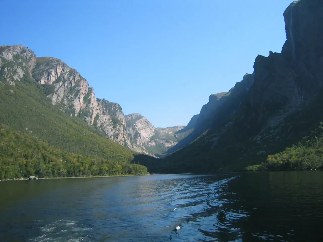
Gros Morne National Park
Newfoundland dan Labrador, 🇨🇦 Kanada
Temukan ide ini
Mirip dengan ini
Lanskap dan ritme perjalanan yang sama, di tempat lain di dunia.

Pelarian untuk dijelajahi
Missoula and the Bitterroot Valley
Montana, 🇺🇸 Amerika Serikat
Temukan ide ini