Jurnal milik Kuujjuaq and Ungava Bay
Melambat untuk lebih jelas melihat apa yang berubah.
An isolated Arctic destination where tundra, large rivers and Inuit culture structure an expedition journey.
Sesuai ritme Anda
Ringkasan identitas
5 hingga 10 hari
Musim semi · Musim panas · Musim gugur · Musim dingin
Mobil disarankan
Sungai · Alam · Warisan budaya
Aksesibilitas bervariasi
Ritme santai
Presentasi umum
Kuujjuaq and Ungava Bay
An isolated Arctic destination where tundra, large rivers and Inuit culture structure an expedition journey.
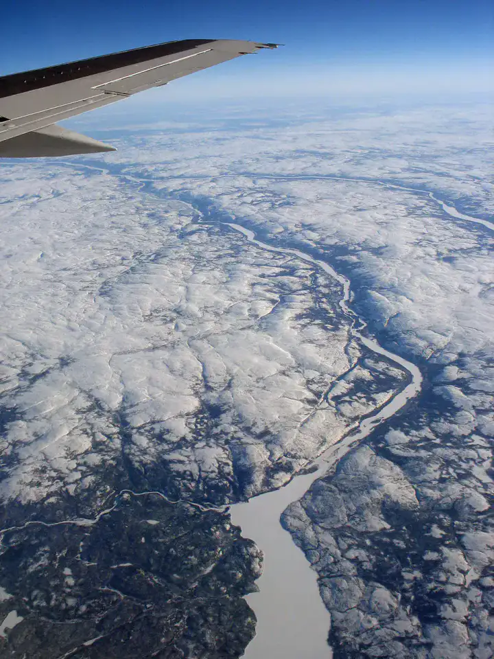
Kuujjuaq, Koksoak River and Kuururjuaq National Park give the most telling landmarks of Kuujjuaq and Ungava Bay. Together, they form a destination where riverscapes, natural spaces and heritage meet, with atmospheres that change over the stages rather than a single uniform decor.
Lihat semua
For a stay of 5 to 10 days, a quiet rhythm works well. Also to be anticipated: conditions to be checked according to the season. A car is usually the easiest way to connect the different sectors. Accessibility varies from site to site and deserves to be verified step by step.
Keunggulan dan kendala
Keunggulan
- Kuujjuaq
- Koksoak River
- Kuurjuaq National Park
Perlu diketahui sebelum memilih
- Car often useful
- Conditions to be checked by season
Tempat wajib dikunjungi
Pilihan untuk mulai bermimpi dan mengatur perjalanan — bukan daftar lengkap semua yang bisa dilihat.
Place indismissible
Kuujjuaq
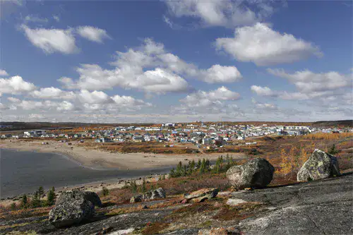
Kuujjuaq The village is located near the Koksoak River, between tundra, gravel roads and colourful houses adapted to the North. For travellers arriving in Nunavik, the village gives first contact with contemporary Inuit culture, large subarctic spaces and a light that quickly changes the landscape.
Sungai
Koksoak River
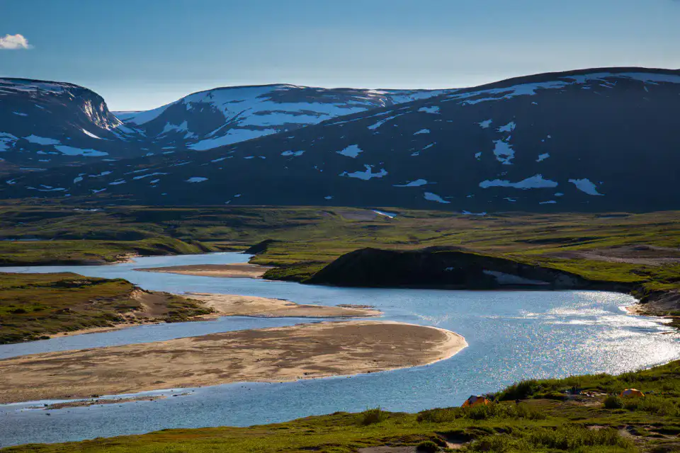
Large, powerful and changing, the Koksoak River structures life Kuujjuaq before reaching Ungava Bay. Its banks open onto a landscape of tundra, islets, tides and immense sky, where the importance of boating, fishing and northern seasons is better understood.
Taman alam
Kuurjuaq National Park
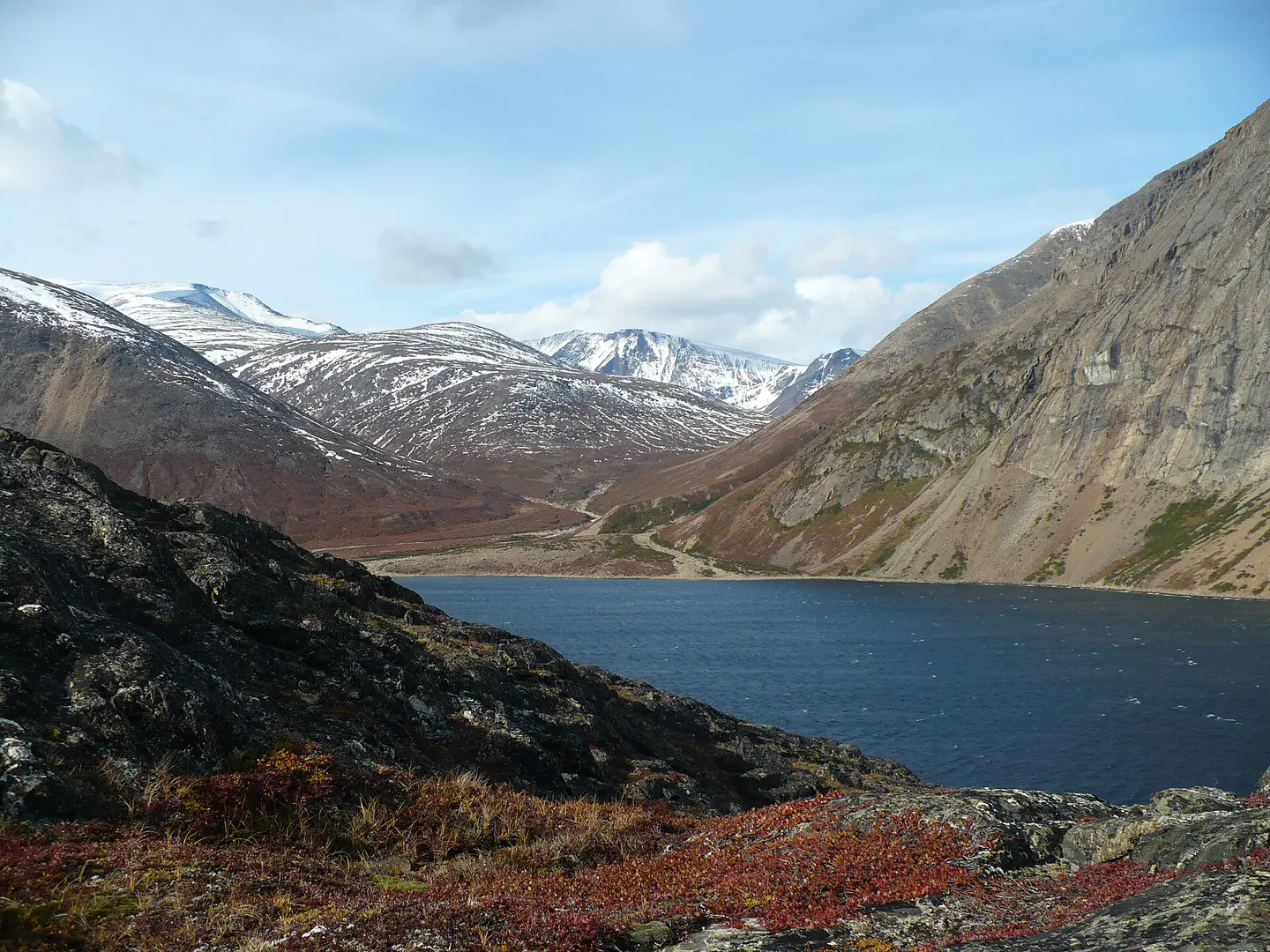
Kuururjuaq protects a spectacular piece of North, from the valleys running towards Ungava Bay to the reliefs of the Torngat. It is a territory of expedition more than a walk: wild rivers, isolated camps, bare mountains and changing weather require a real preparation.
Place indismissible
Monts Torngat
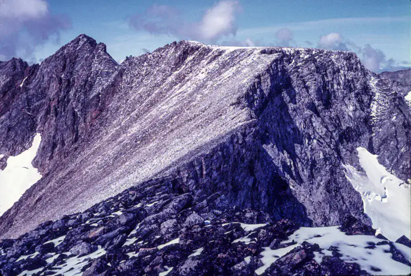
The Torngat Mountains lay their dark walls between northern Quebec, Labrador and the Atlantic. The landscape is austere and striking: fjords, glacial valleys, bare peaks, late snow plates and traces of an ancient Inuit presence in one of the most remote reliefs in eastern Canada.
Tips praktis
This information helps know if the destination matches the planned trip before starting a fuller search.
Untuk lebih lanjut
Aktivitas lainnya
Restoran, jalan-jalan, budaya, hiburan, dan wisata yang dapat dicari tanpa meninggalkan halaman destinasi.
Destinasi terdekat
Ide terdekat di peta, untuk memperpanjang perjalanan.
Pelarian untuk dijelajahi
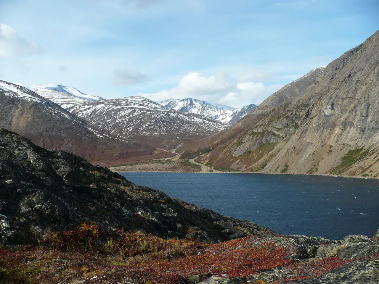
Torngat Mountains National Park
Newfoundland dan Labrador, 🇨🇦 Kanada
Temukan ide ini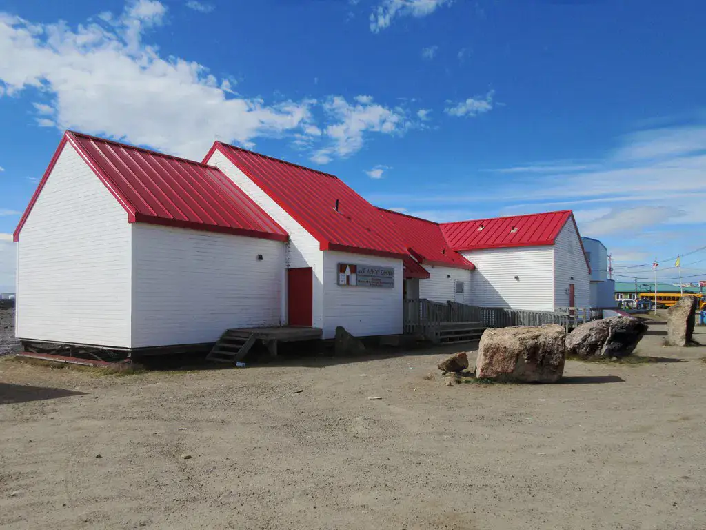
Mirip dengan ini
Lanskap dan ritme perjalanan yang sama, di tempat lain di dunia.