Jurnal milik Tombstone and the Dempster Highway
Berjalan menuju cahaya yang lebih jernih.
Subarctic landscape of dark ridges, tundra, open valleys and mythical road to the Arctic Circle.
Sesuai ritme Anda
Ringkasan identitas
4 hingga 8 hari
Musim semi · Musim panas · Musim gugur · Musim dingin
Mobil disarankan
Gunung · Alam
Aksesibilitas bervariasi
Ritme fleksibel
Presentasi umum
Tombstone and the Dempster Highway
Subarctic landscape of dark ridges, tundra, open valleys and mythical road to the Arctic Circle.
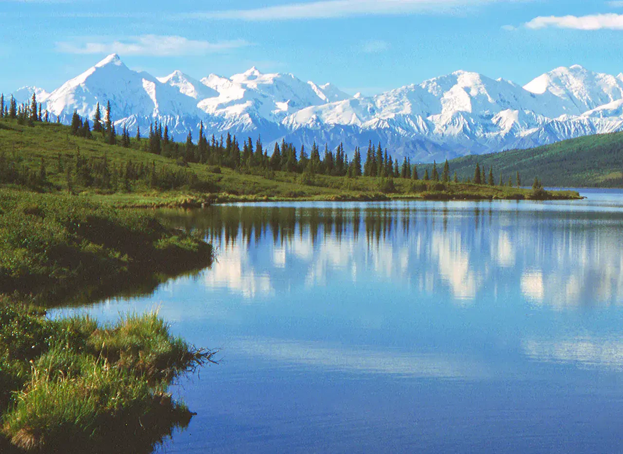
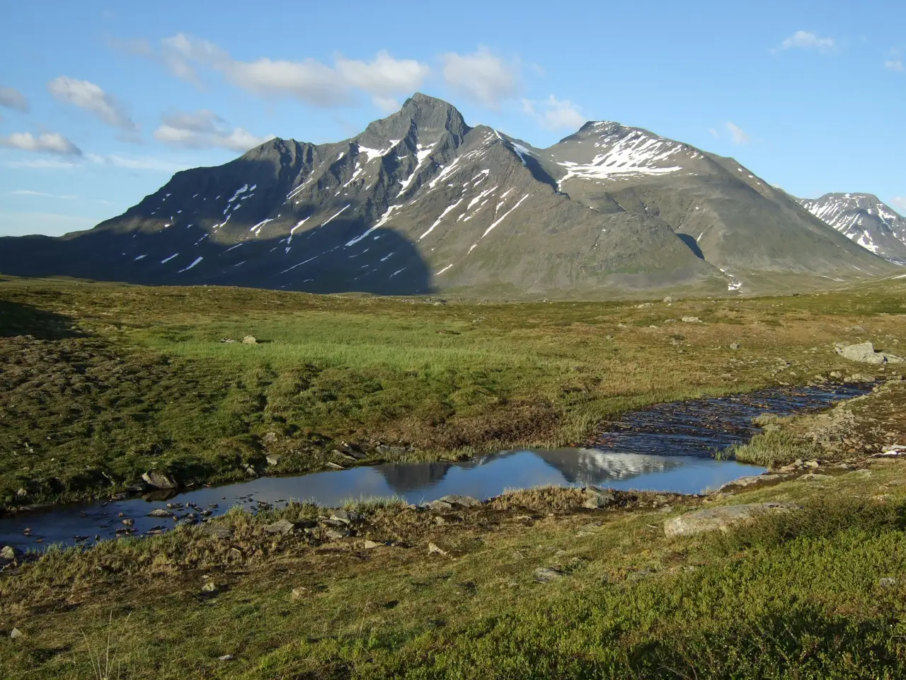
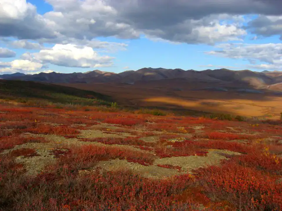
To understand what Tombstone and Dempster Road are, you need to look at Tombstone Territorial Park, Dempster Highway and Ogilvie Mountains. These places give us a view of a territory marked by mountain reliefs and natural spaces and allow us to move from emblematic sites to more intimate stages.
Lihat semua
For a stay of 4 to 8 days, it is better to balance visits and travel times. Also to be anticipated: conditions to be checked according to the season. A car is usually the easiest way to connect the different sectors. Accessibility varies from site to site and deserves to be verified step by step.
Keunggulan dan kendala
Keunggulan
- Tombstone Territorial Park
- Dempster Highway
- Ogilvie Mountains
Perlu diketahui sebelum memilih
- Car often useful
- Conditions to be checked by season
Tempat wajib dikunjungi
Pilihan untuk mulai bermimpi dan mengatur perjalanan — bukan daftar lengkap semua yang bisa dilihat.
Taman alam
Tombstone Territorial Park
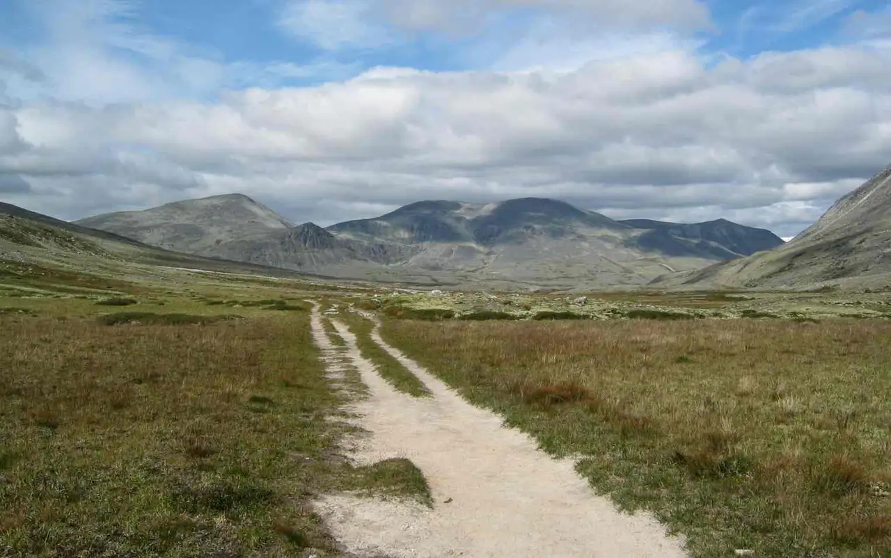
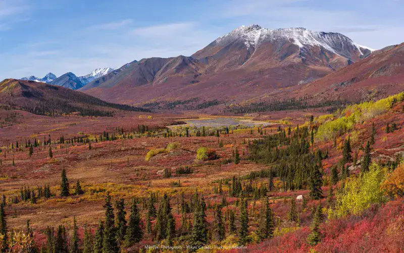
Tombstone Territorial Park The trails give an intense Nordic experience, with a fast weather and little shelter. The trails are very clear in the late summer.
Place indismissible
Dempster Highway
The Dempster Highway Traces a gravel road through mountains, taiga and tundra to the Arctic. Traveling through it requires preparation and margins, but it provides access to one of the major road crossings in Canada's North.
Nature and panorama
Ogilvie Mountains
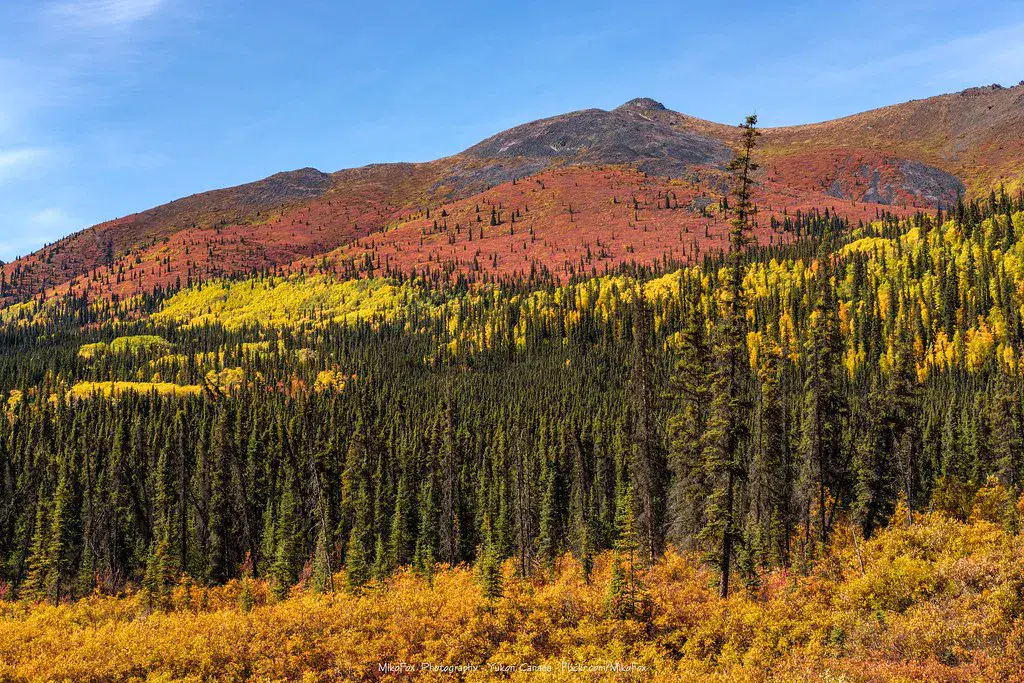
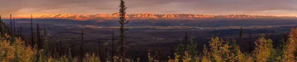
The Ogilvie Mountains frame the Dempster road with dry, pleated and very open reliefs. Their presence gives the route a succession of thresholds, passes and long views that change according to the light.
Sungai
North Klondike River
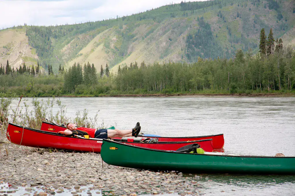
The Klondike River accompanies part of the road to Dawson and the scenery of the Tombstone. Its meanderings and gravel banks remind that water, as well as the road, organizes the movements in this area.
Tips praktis
This information helps know if the destination matches the planned trip before starting a fuller search.
Untuk lebih lanjut
Aktivitas lainnya
Restoran, jalan-jalan, budaya, hiburan, dan wisata yang dapat dicari tanpa meninggalkan halaman destinasi.
Destinasi terdekat
Ide terdekat di peta, untuk memperpanjang perjalanan.
Mirip dengan ini
Lanskap dan ritme perjalanan yang sama, di tempat lain di dunia.