Il diario di Buffalo National River
Camminare tra ombra fresca e luce aperta.
Free river with clear waters, framed by limestone cliffs and forests of the Ozarks.
Al tuo ritmo
Riepilogo dell’identità
3 - 7 giorni
Primavera · Estate · Autunno · Inverno
Auto consigliata
Fiume · Foresta · Natura
Accessibilità variabile
Ritmo dolce
Presentazione generale
Buffalo National River
Free river with clear waters, framed by limestone cliffs and forests of the Ozarks.
Buffalo National River is discovered around Buffalo National River, Whitaker Point and Hemmed-In Hollow Falls. The stay thus alternates between river landscapes, forests and natural spaces, giving a concrete picture of the destination beyond its only best known site.
Vedi tutto
For a stay of 3 to 7 days, a quiet rhythm works well. Also to be anticipated: conditions to be checked according to the season. A car is usually the easiest way to connect the different sectors. Accessibility varies from site to site and deserves to be verified step by step.
Punti di forza e vincoli
Punti di forza
- Buffalo National River
- Whitaker Point
- Hemmed-In Hollow Falls
Da sapere prima di scegliere
- Car often useful
- Conditions to be checked by season
Luoghi imperdibili
Una selezione per iniziare a sognare e organizzare il soggiorno — non un elenco esaustivo di tutto ciò che c’è da vedere.
Fiume
Buffalo National River
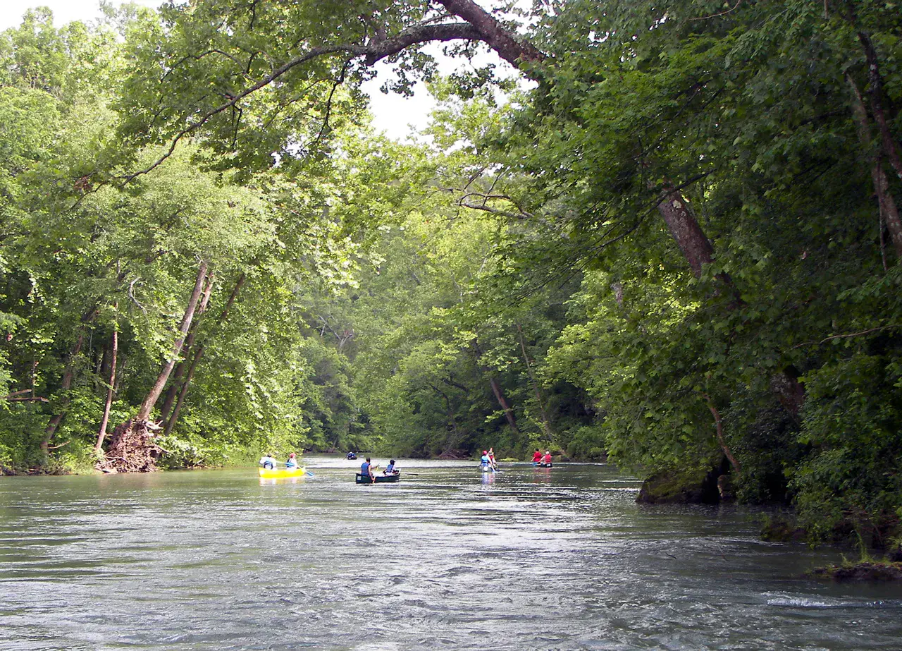
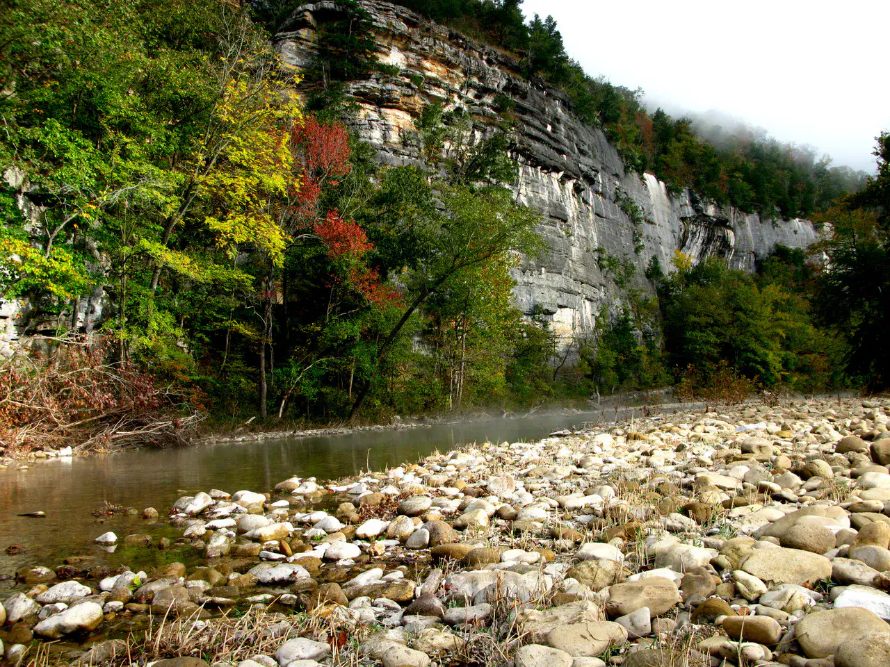
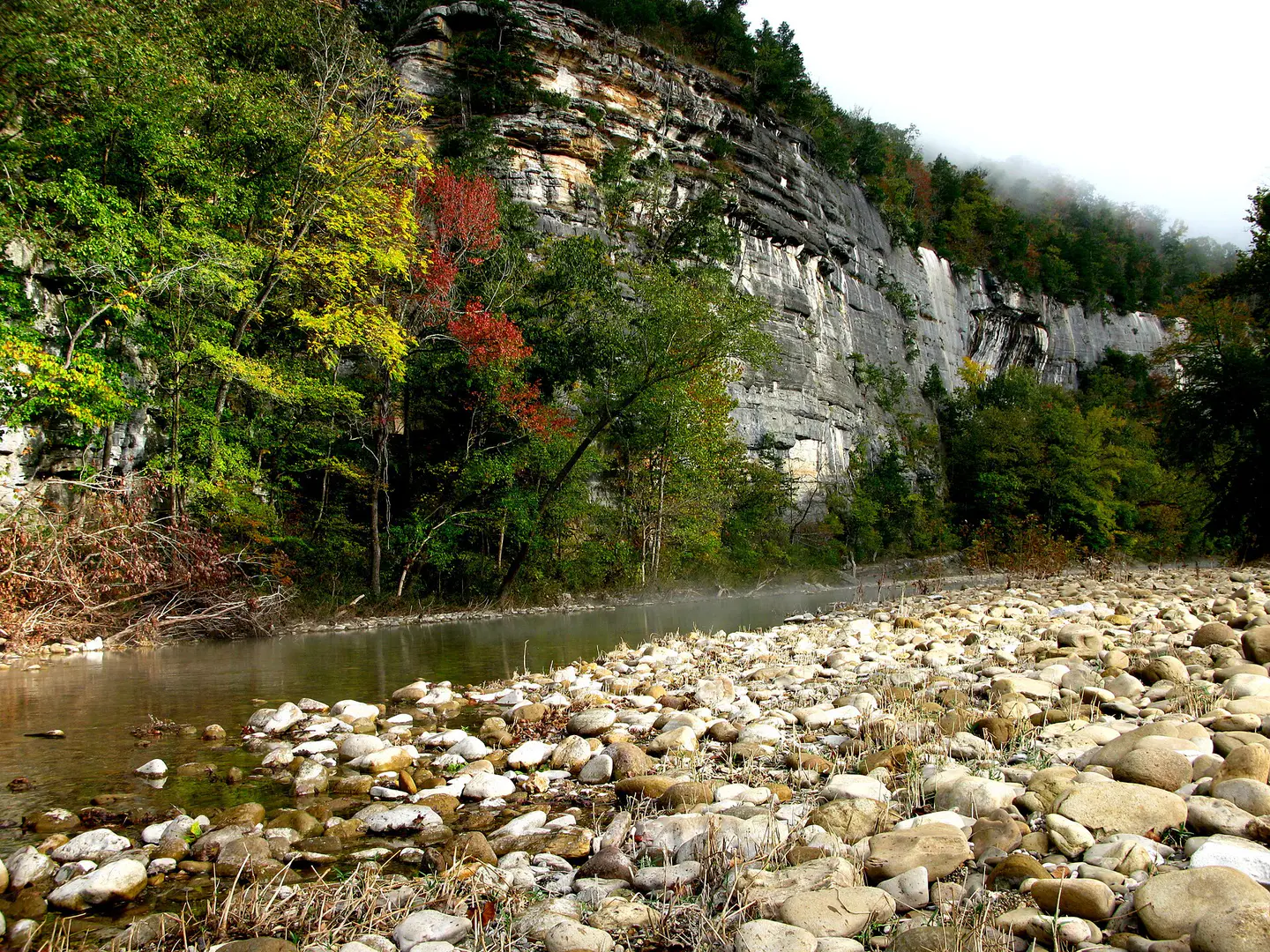
Buffalo National River It flows freely between limestone cliffs, forests of the Ozarks, gravels and calm meanders. Depending on the water level, the canoe descent reveals blond walls, wild beaches and silent bends where it is understood why the river was protected.
Nature and landscape
Whitaker Point
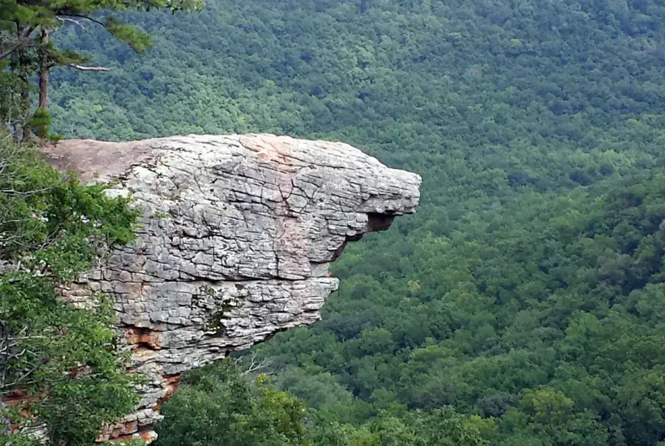
Whitaker Point, also called Hawksbill Crag, advances like a rock prow over the wooded valleys of Upper Buffalo. Hiking requires a little attention, but the arrival on this promontory offers one of the most recognizable images of the Arkansas Ozarks.
Nature and panorama
Hemmed-In Hollow Falls
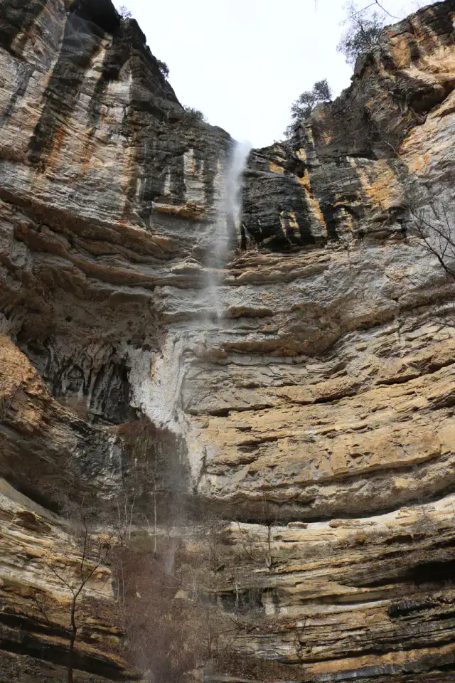
Hemmed-In Hollow Falls falls from a high wall in the forest of the Buffalo National River. Access is earned by a demanding trail or from the river according to conditions, but the rocky circus and vertical water net give a very clear reward to walkers.
Nature and panorama
Lost Valley Trail
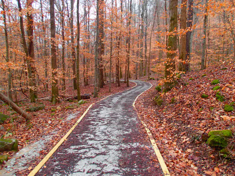
Lost Valley Trail concentrates many landscapes of the Ozarks in a short walk: light creek, limestone bluff, cave, seasonal waterfalls and fresh undergrowth. After the rain, the water animates basins and falls; in dry weather, the relief and cavities remain the main attraction.
Consigli pratici
This information helps know if the destination matches the planned trip before starting a fuller search.
Per approfondire
Altre attività
Ristoranti, passeggiate, cultura, svago e uscite da cercare senza lasciare la scheda della destinazione.
Le destinazioni più vicine
Le idee più vicine sulla mappa, per prolungare il viaggio.

Gli somigliano
Stessi paesaggi e stesso ritmo di viaggio, altrove nel mondo.