本人情報の概要
4~9日
春 · 夏 · 秋 · 冬
車がおすすめ
山 · 砂漠 · 川 · 自然
アクセスのしやすさは場所により異なる
調整できるペース
全体の紹介
Big Bend National Park
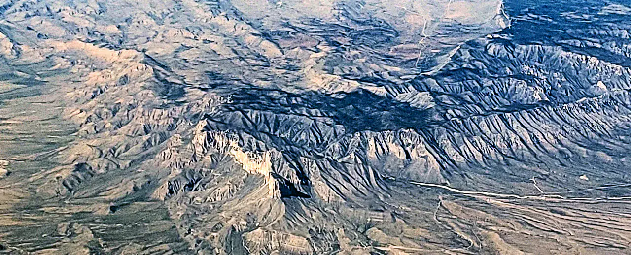
Chihuahua Desert, Rio Grande Canyons and Chisos Mountain Island in a huge park.
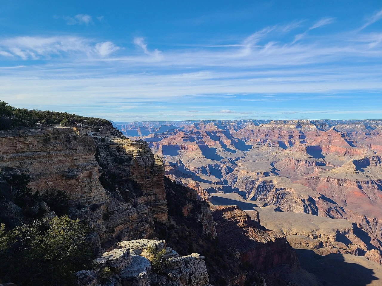
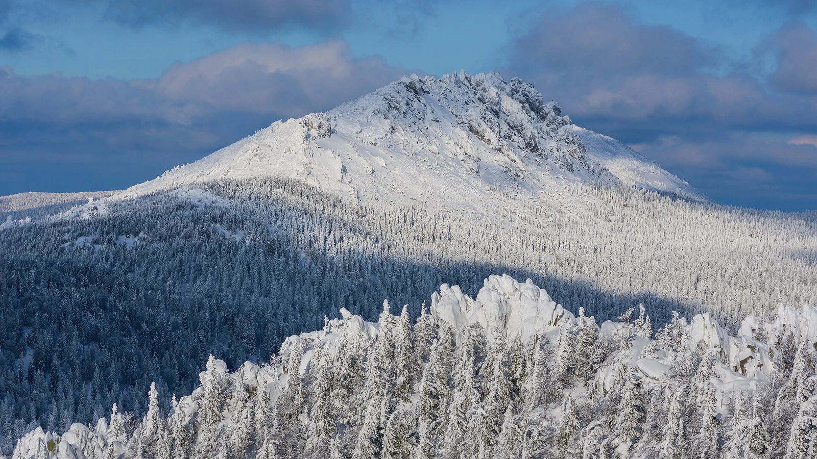
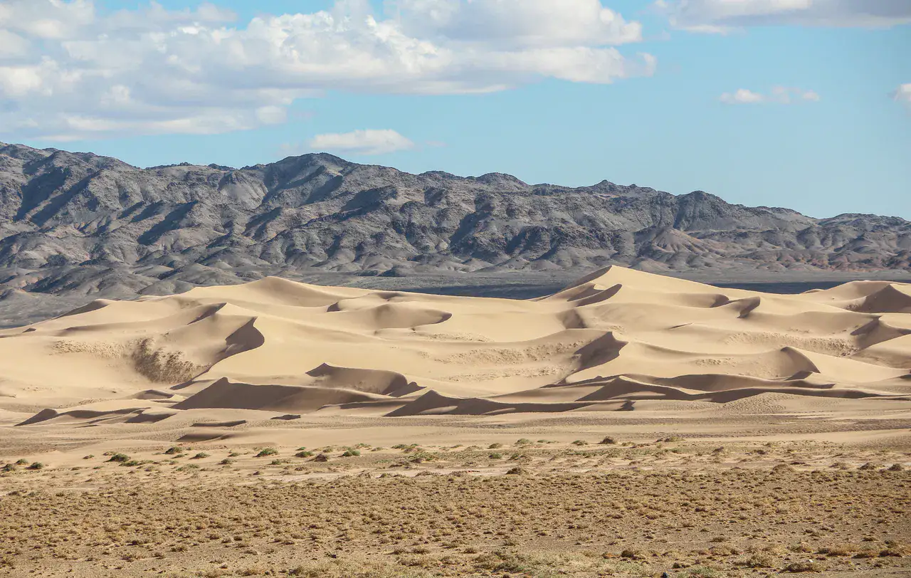
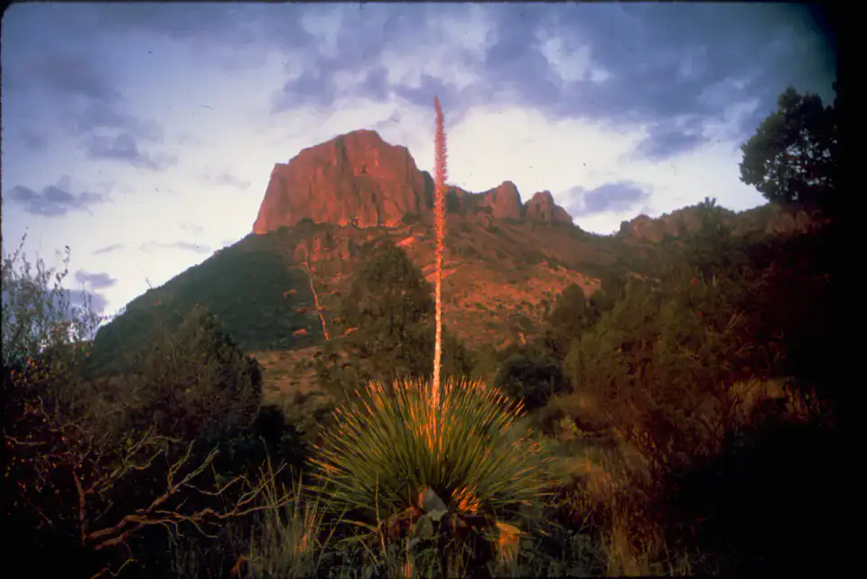
To understand what Big Bend National Park is, you need to look at Santa Elena Canyon, Chisos Basin and Lost Mine Trail. These places give us a view of a territory marked by mountain reliefs, desert areas, riverscapes and natural spaces and allow us to move from emblematic sites to more intimate stages.
すべて見る
For a stay of 4 to 9 days, it is better to balance visits and travel times. Also to be anticipated: conditions to be checked according to the season. A car is usually the easiest way to connect the different sectors. Accessibility varies from site to site and deserves to be verified step by step.
魅力と注意点
魅力
- Santa Elena Canyon
- Chisos Basin
- Lost Mine Trail
選ぶ前に知っておきたいこと
- Car often useful
- Conditions to be checked by season
訪れたい場所
夢を膨らませて滞在を計画するためのセレクションです。見どころをすべて網羅したリストではありません。
Nature and panorama
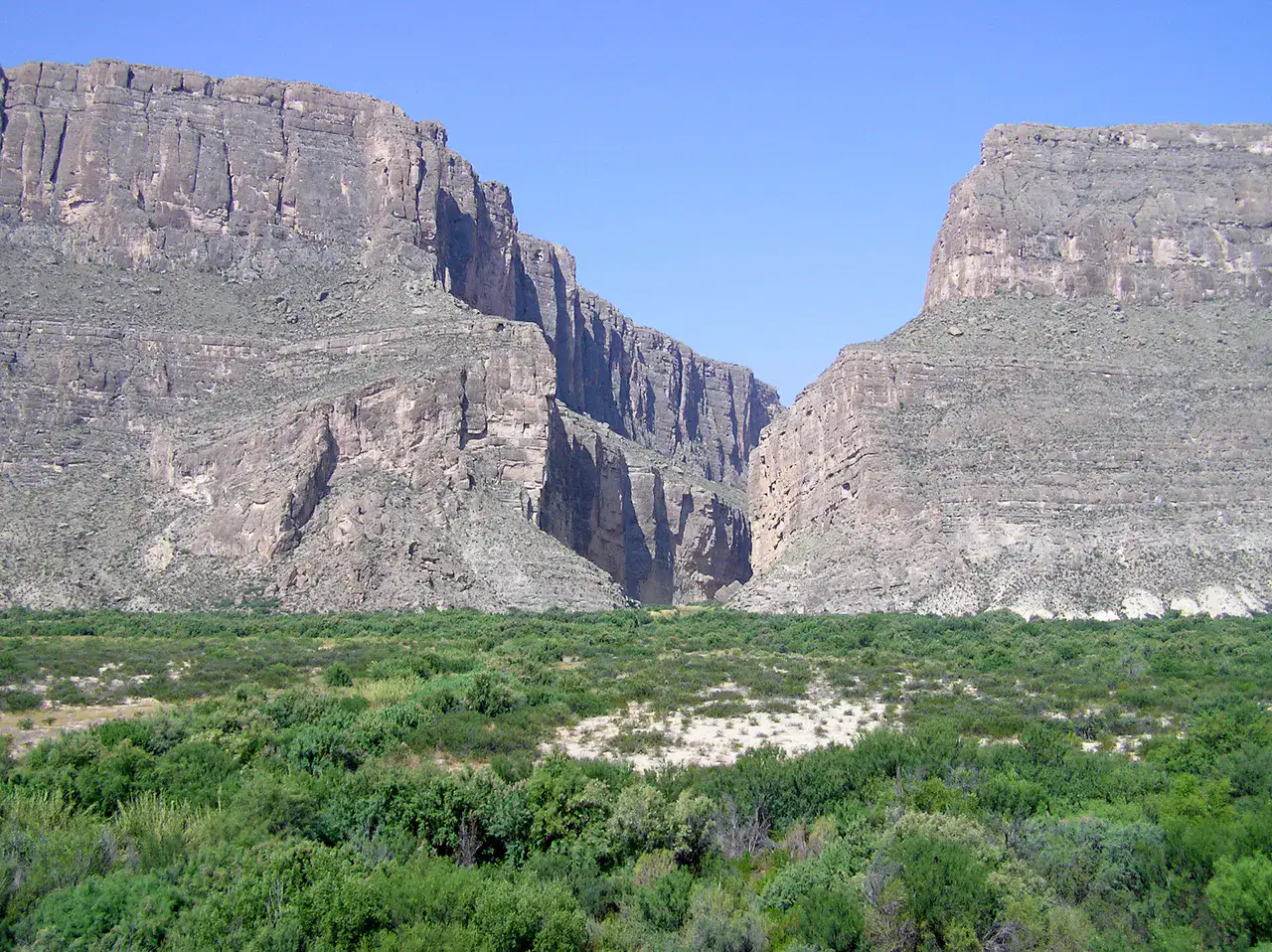
Santa Elena Canyon
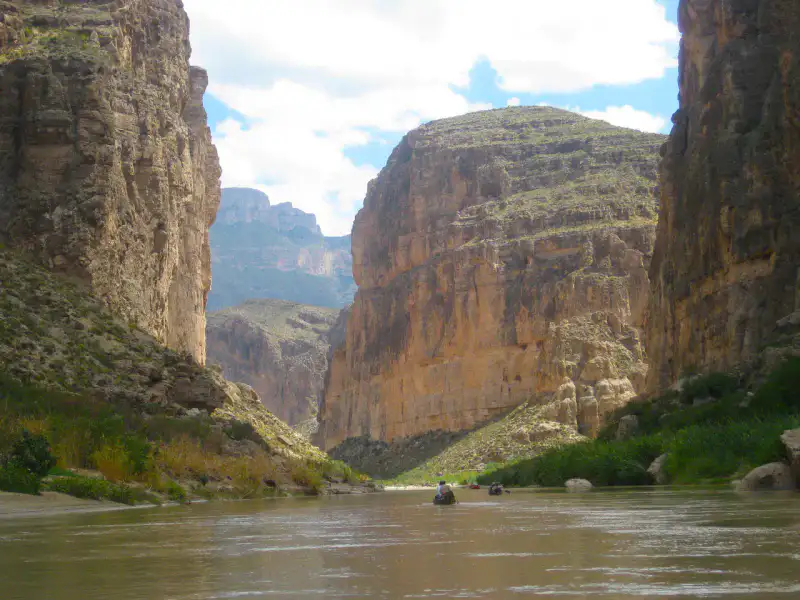
Santa Elena Canyon locks the Rio Grande between two almost vertical limestone walls, on the border of Texas and Mexico. The trail runs from the shore quickly reveals the scale of the place: brown water, fresh walls, echoes in the canyon and razing light on the cliffs at the end of the day.
Place indismissible
Chisos Basin
Chisos Basin forms a mountainous bowl in the heart of Big Bend, surrounded by steep ridges and trails that go straight to the heights. The air is cooler than in the low desert, sunsets fit into the Window, and deer often cross the edge of the lodge.
Nature and panorama
Lost Mine Trail
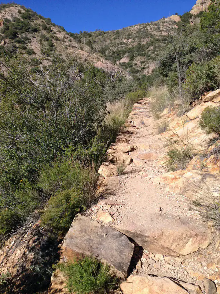
Lost Mine Trail climbs through the Chisos Mountains through pines, agave and rocky laces, with ever-wider views of Juniper Canyon and Casa Grande. The walk is fairly sustained but very legible, especially beautiful early in the morning when the ridges cut out in a clear light.
Nature and panorama
Boquillas Canyon
Boquillas Canyon accompanies the Rio Grande in a limestone gorge where the river marks the border with Mexico. The trail first crosses sand banks and engraved cliffs before reaching the narrow entrance of the canyon, often more peaceful than Santa Elena.
役立つヒント
This information helps know if the destination matches the planned trip before starting a fuller search.
さらに詳しく
アクティビティをもっと見る
目的地のページを離れずに検索できる、レストラン、散歩、文化、レジャー、お出かけ。
近くの目的地
地図上で近くにあるアイデアで、旅をさらに広げましょう。
よく似た目的地
同じような景色と旅のペースを、世界のほかの場所で。