Corner Brook and the Humber Valley
O diário de Corner Brook and the Humber Valley
Procurar o horizonte depois da subida.
Western town surrounded by hills, forests and an estuary opening onto the Bay of the Islands.
No seu ritmo
Resumo de identidade
2 à 5 jours
Primavera · Verão · Outono · Inverno
Carro recomendado
Cidade · Rio · Montanha · Floresta
Boa acessibilidade
Ritmo ajustável
Apresentação geral
Corner Brook and the Humber Valley
Western town surrounded by hills, forests and an estuary opening onto the Bay of the Islands.
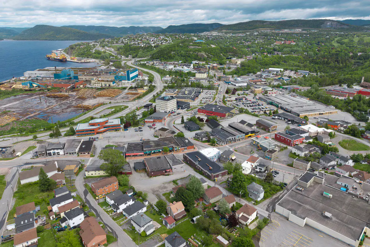
Captain James Cook National Historic Site, Marble Mountain and Humber River provide the most telling landmarks of Corner Brook and Humber Valley. Together, they form a destination where urban life, riverscapes, mountain reliefs and forests meet, with atmospheres that change over the stages rather than just one uniform decor.
Ver tudo
For a stay of 2 to 5 days, it is better to balance visits and travel times. Also to be anticipated: conditions to be checked according to the season. A car is usually the easiest way to connect the different sectors. The main sites are generally easy to access.
Pontos fortes e restrições
Pontos fortes
- Captain James Cook National Historic Site
- Marble Mountain
- Humber River
Bom saber antes de escolher
- Car often useful
- Conditions to be checked by season
Lugares imperdíveis
Uma seleção para começar a sonhar e organizar a estadia — não uma lista exaustiva de tudo o que há para ver.
Culture and heritage
Captain James Cook National Historic Site
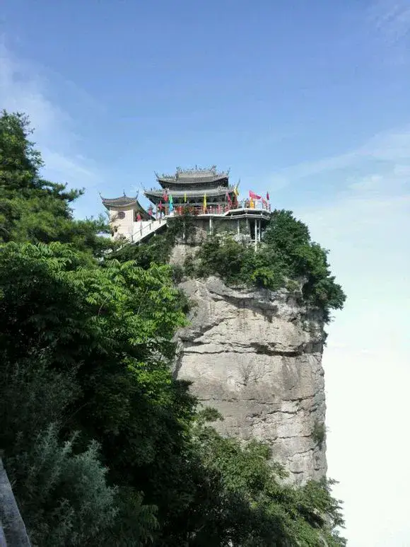
Captain James Cook National Historic Site dominates Corner Brook The bay of the Islands from a clear viewpoint is reminiscent of Cook's charting on the coast of Newfoundland, but its appeal is also due to the view: Humber River, town, wooded hills and sea arms below.
Nature and panorama
Marble Mountain
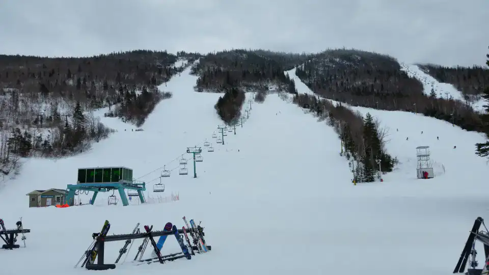
Marble Mountain The mountain rises above the Humber Valley, near Steady Brook, with slopes known for skiing in winter. Without snow, the mountain remains a strong landmark of the winter landscape. Corner Brook, between wooded slopes, river below and frank colours when autumn wins the Long Range.
Rio
Humber River
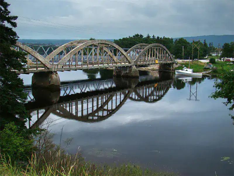
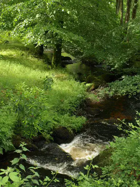
The Humber River descends from the Long Range Mountains to the Bay of the Islands through a large, wooded valley. Corner Brook and Deer Lake, it accompanies roads, bridges, salmon fishing and outdoor exits, with a constant presence of wide and dark current.
Nature and panorama
Steady Brook Falls
Steady Brook Falls The waterfall falls into a fresh ravine, surrounded by trees and wet rocks; it is a simple but very sensory stop, especially after rain or when the snow melts in the valley.
Dicas práticas
This information helps know if the destination matches the planned trip before starting a fuller search.
Para ir mais longe
Mais atividades
Restaurantes, passeios, cultura, lazer e saídas para pesquisar sem sair da página do destino.
Os destinos mais próximos
As ideias mais próximas no mapa, para prolongar a viagem.
Parecidos com ele
Mesmas paisagens e mesmo ritmo de viagem, em outras partes do mundo.

Escapada para descobrir
Missoula and the Bitterroot Valley
Montana, 🇺🇸 Estados Unidos
Descobrir esta ideia