บันทึกของ Aukštaitija National Park
เลือกวันตามจังหวะของทิวทัศน์
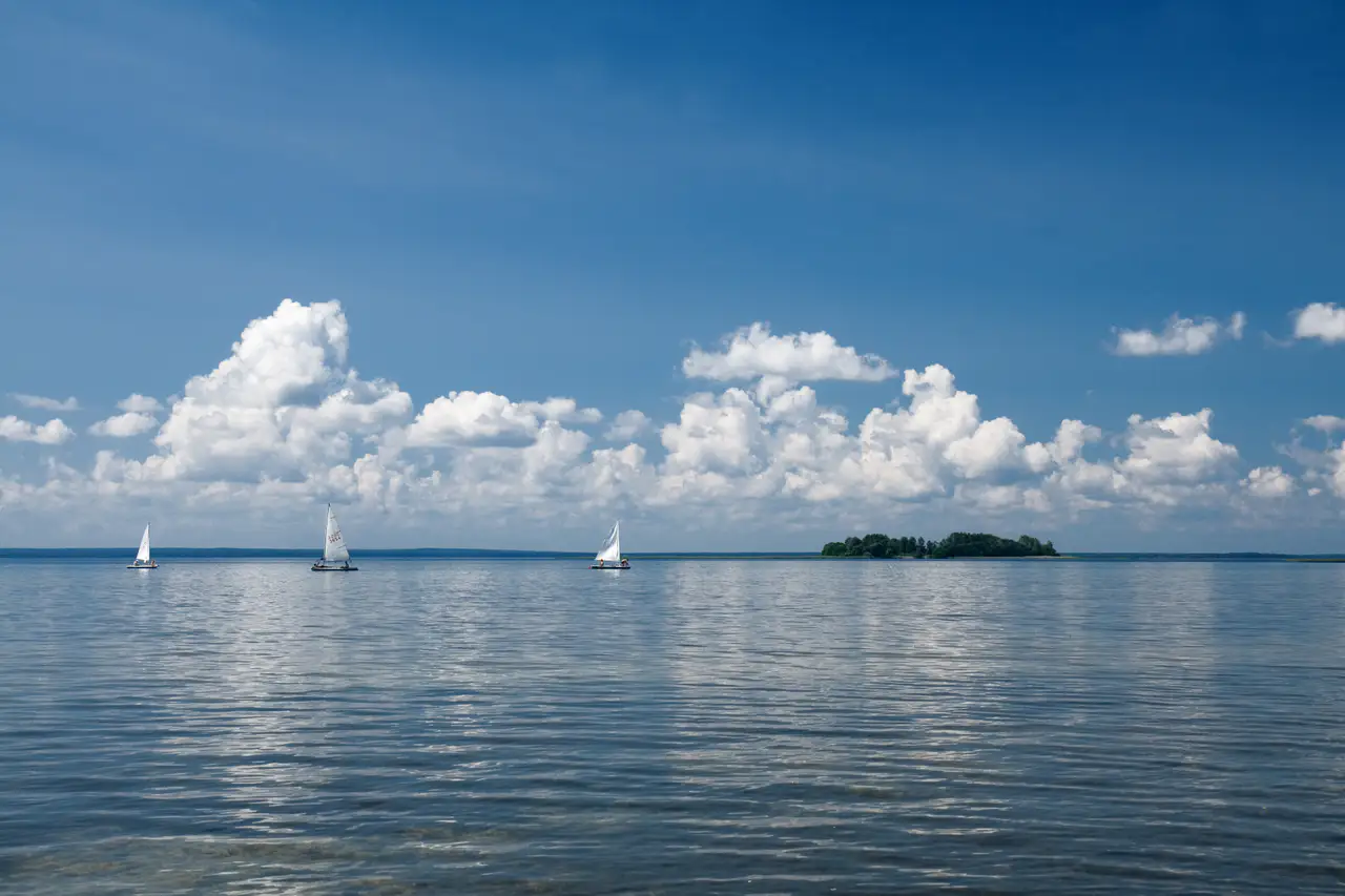
A network of lakes, pine forests and traditional villages that are suitable for canoeing and soft roaming.
ตามจังหวะของคุณ
สรุปตัวตน
4 ถึง 8 วัน
ฤดูใบไม้ผลิ · ฤดูร้อน · ฤดูใบไม้ร่วง · ฤดูหนาว
แนะนำให้ใช้รถยนต์
ทะเลสาบ · ป่า · ชนบท · ธรรมชาติ
การเข้าถึงแตกต่างกันไป
จังหวะสบาย ๆ
ภาพรวมทั่วไป
Aukštaitija National Park
A network of lakes, pine forests and traditional villages that are suitable for canoeing and soft roaming.
The discovery of the Aukštaitija National Park is based around the National Park of Aukštaitija, the Church of Palūšė and Ladakalnis. The stay thus alternates between the shores and the lakes, the forests, the countryside and the natural spaces, which gives a concrete picture of the destination beyond its only best known site.
ดูทั้งหมด
For a stay of 4 to 8 days, a quiet rhythm works well. Also to be anticipated: conditions to be checked according to the season. A car is usually the easiest way to connect different sectors. Accessibility varies from site to site and deserves to be checked step by step.
จุดเด่นและข้อจำกัด
จุดเด่น
- Aukštaitija National Park
- Church of Palūšė
- Ladakalnis
ควรรู้ก่อนเลือก
- Car often useful
- Conditions to be checked by season
สถานที่ห้ามพลาด
การคัดเลือกเพื่อเริ่มฝันและวางแผนการพัก ไม่ใช่รายการครบถ้วนของทุกสิ่งที่น่าชม
อุทยานธรรมชาติ
Aukštaitija National Park
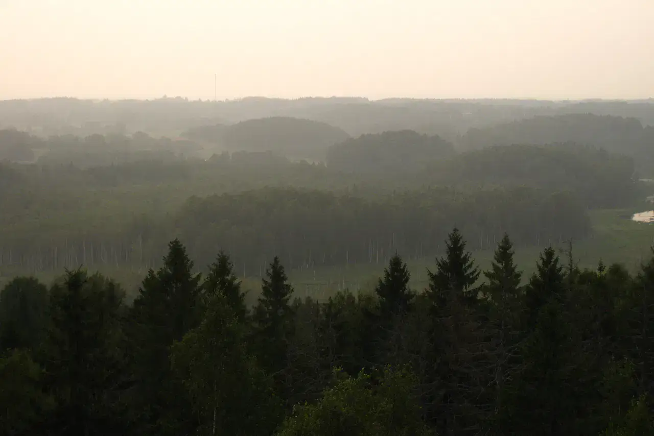
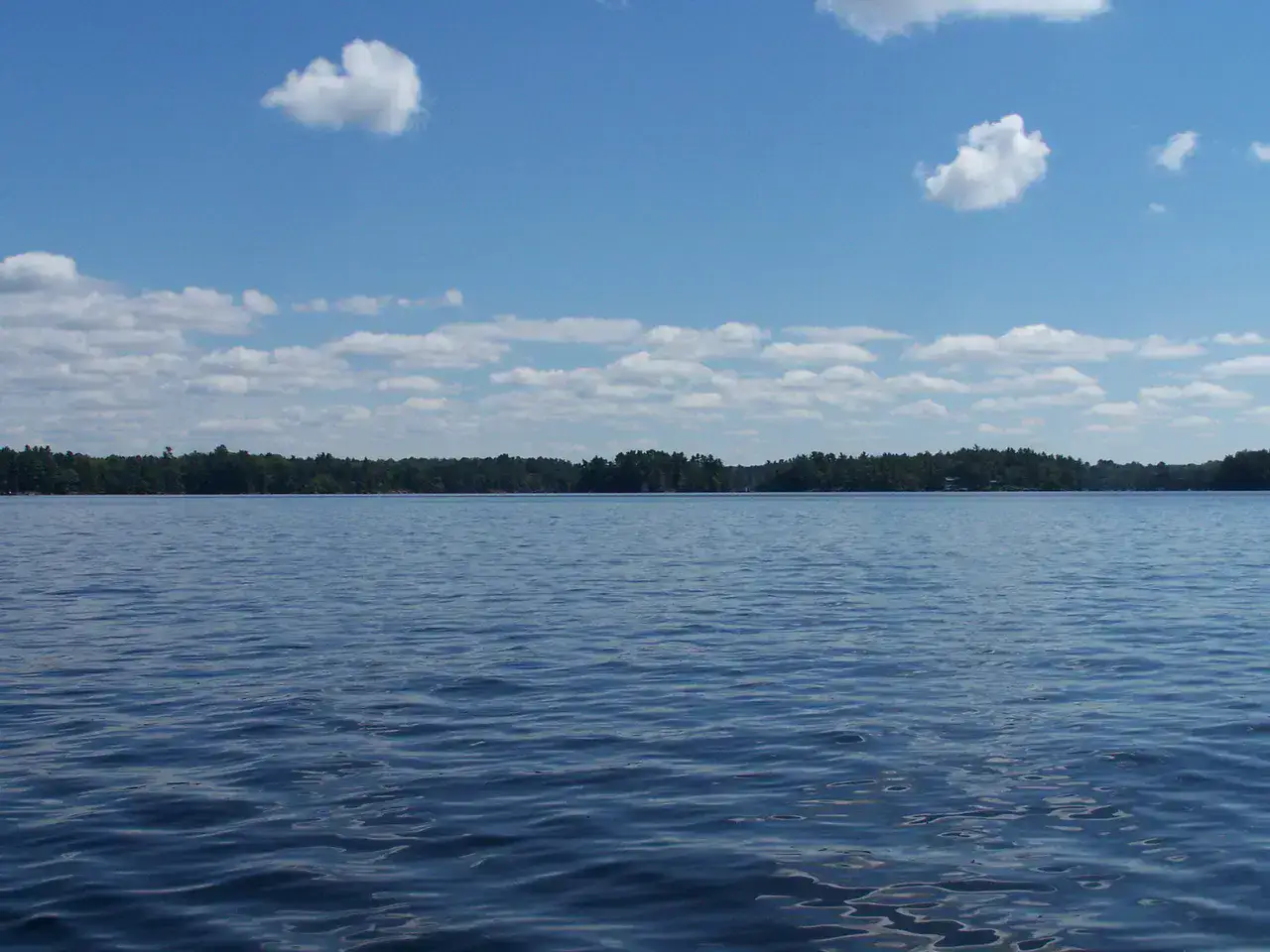
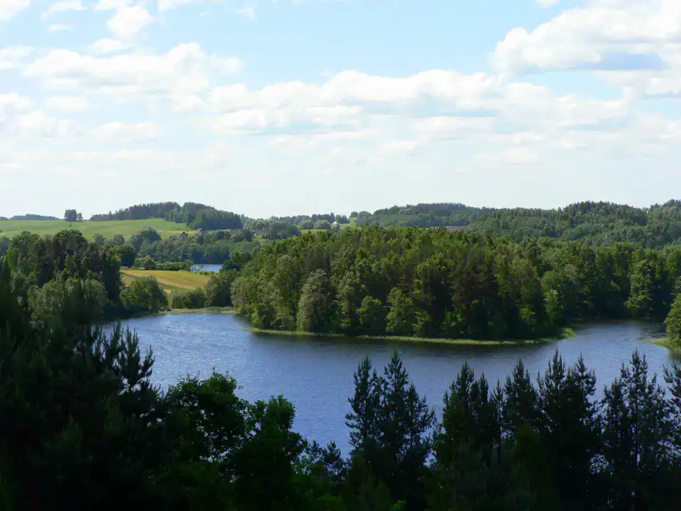
Aukštaitija National Park is a country of pines, lakes connected by streams and wood villages. Canoeing, cycling and walking give it very different experiences, from calm waters of Lūšiai to hills that suddenly open over several blue expanses.
โบสถ์
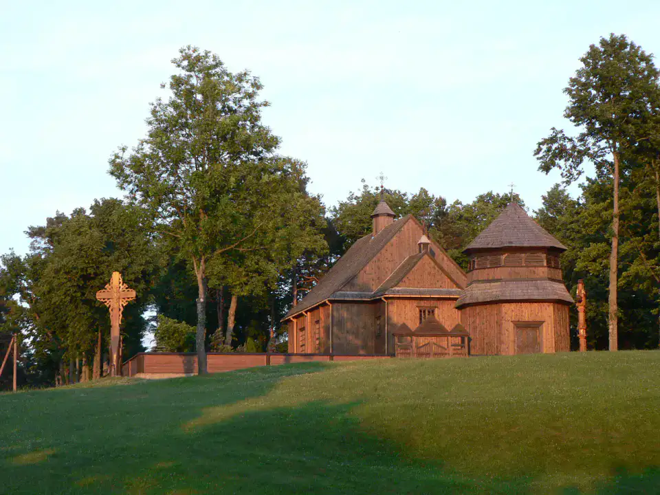
Church of Palūšė
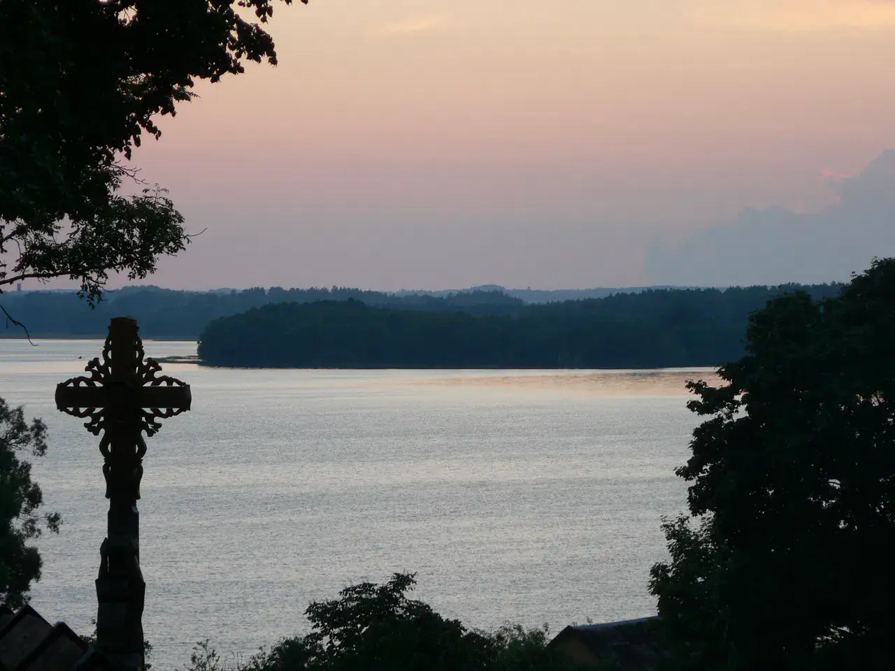
The church of Palūšė dominates Lake Lūšiai with its dark wooden silhouette and its separate bell tower. Its traditional construction, renowned without metal nails, gives the place a sober presence, very related to the village, the water and the pines surrounding it.
Place indismissible
Ladakalnis
Ladakalnis is a sacred hill where the lakes of Aukštaitija appear between the forests as flashes of light. The climb remains short, but the summit gives a rare view of the park's geography, with several bodies of water visible at once.
เคล็ดลับที่ใช้ได้จริง
This information helps know if the destination matches the planned trip before starting a fuller search.
เพื่อไปต่อ
กิจกรรมเพิ่มเติม
ร้านอาหาร เส้นทางเดินเล่น วัฒนธรรม กิจกรรมสันทนาการ และทริปเที่ยวที่ค้นหาได้โดยไม่ต้องออกจากหน้าข้อมูลจุดหมายปลายทาง
จุดหมายปลายทางที่ใกล้ที่สุด
ไอเดียที่ใกล้ที่สุดบนแผนที่ เพื่อต่อยอดการเดินทางของคุณ
คล้ายกัน
ภูมิทัศน์และจังหวะการเดินทางแบบเดียวกัน ในที่อื่นของโลก