สรุปตัวตน
4 ถึง 9 วัน
ฤดูใบไม้ผลิ · ฤดูร้อน · ฤดูใบไม้ร่วง · ฤดูหนาว
แนะนำให้ใช้รถยนต์
ภูเขา · ทะเลทราย · แม่น้ำ · ธรรมชาติ
การเข้าถึงแตกต่างกันไป
จังหวะปรับได้
ภาพรวมทั่วไป
Big Bend National Park
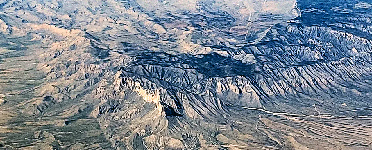
Chihuahua Desert, Rio Grande Canyons and Chisos Mountain Island in a huge park.
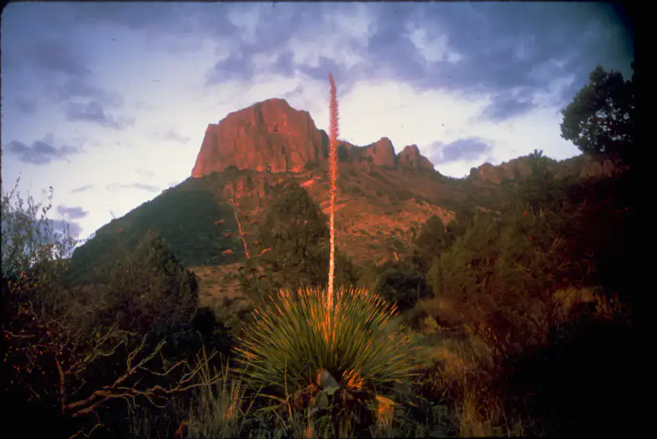
To understand what Big Bend National Park is, you need to look at Santa Elena Canyon, Chisos Basin and Lost Mine Trail. These places give us a view of a territory marked by mountain reliefs, desert areas, riverscapes and natural spaces and allow us to move from emblematic sites to more intimate stages.
ดูทั้งหมด
For a stay of 4 to 9 days, it is better to balance visits and travel times. Also to be anticipated: conditions to be checked according to the season. A car is usually the easiest way to connect the different sectors. Accessibility varies from site to site and deserves to be verified step by step.
จุดเด่นและข้อจำกัด
จุดเด่น
- Santa Elena Canyon
- Chisos Basin
- Lost Mine Trail
ควรรู้ก่อนเลือก
- Car often useful
- Conditions to be checked by season
สถานที่ห้ามพลาด
การคัดเลือกเพื่อเริ่มฝันและวางแผนการพัก ไม่ใช่รายการครบถ้วนของทุกสิ่งที่น่าชม
Nature and panorama
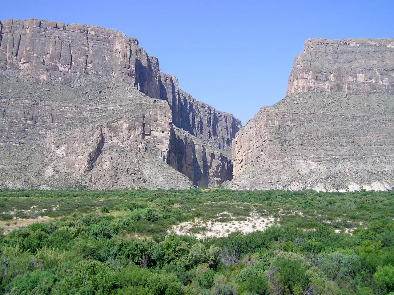
Santa Elena Canyon
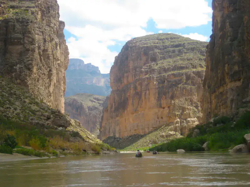
Santa Elena Canyon locks the Rio Grande between two almost vertical limestone walls, on the border of Texas and Mexico. The trail runs from the shore quickly reveals the scale of the place: brown water, fresh walls, echoes in the canyon and razing light on the cliffs at the end of the day.
Place indismissible
Chisos Basin
Chisos Basin forms a mountainous bowl in the heart of Big Bend, surrounded by steep ridges and trails that go straight to the heights. The air is cooler than in the low desert, sunsets fit into the Window, and deer often cross the edge of the lodge.
Nature and panorama
Lost Mine Trail
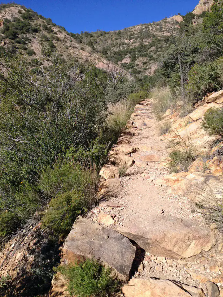
Lost Mine Trail climbs through the Chisos Mountains through pines, agave and rocky laces, with ever-wider views of Juniper Canyon and Casa Grande. The walk is fairly sustained but very legible, especially beautiful early in the morning when the ridges cut out in a clear light.
Nature and panorama
Boquillas Canyon
Boquillas Canyon accompanies the Rio Grande in a limestone gorge where the river marks the border with Mexico. The trail first crosses sand banks and engraved cliffs before reaching the narrow entrance of the canyon, often more peaceful than Santa Elena.
เคล็ดลับที่ใช้ได้จริง
This information helps know if the destination matches the planned trip before starting a fuller search.
เพื่อไปต่อ
กิจกรรมเพิ่มเติม
ร้านอาหาร เส้นทางเดินเล่น วัฒนธรรม กิจกรรมสันทนาการ และทริปเที่ยวที่ค้นหาได้โดยไม่ต้องออกจากหน้าข้อมูลจุดหมายปลายทาง
จุดหมายปลายทางที่ใกล้ที่สุด
ไอเดียที่ใกล้ที่สุดบนแผนที่ เพื่อต่อยอดการเดินทางของคุณ
คล้ายกัน
ภูมิทัศน์และจังหวะการเดินทางแบบเดียวกัน ในที่อื่นของโลก