บันทึกของ Buffalo National River
เดินระหว่างร่มเงาเย็นและแสงโล่ง
Free river with clear waters, framed by limestone cliffs and forests of the Ozarks.
ตามจังหวะของคุณ
สรุปตัวตน
3 ถึง 7 วัน
ฤดูใบไม้ผลิ · ฤดูร้อน · ฤดูใบไม้ร่วง · ฤดูหนาว
แนะนำให้ใช้รถยนต์
แม่น้ำ · ป่า · ธรรมชาติ
การเข้าถึงแตกต่างกันไป
จังหวะสบาย ๆ
ภาพรวมทั่วไป
Buffalo National River
Free river with clear waters, framed by limestone cliffs and forests of the Ozarks.
Buffalo National River is discovered around Buffalo National River, Whitaker Point and Hemmed-In Hollow Falls. The stay thus alternates between river landscapes, forests and natural spaces, giving a concrete picture of the destination beyond its only best known site.
ดูทั้งหมด
For a stay of 3 to 7 days, a quiet rhythm works well. Also to be anticipated: conditions to be checked according to the season. A car is usually the easiest way to connect the different sectors. Accessibility varies from site to site and deserves to be verified step by step.
จุดเด่นและข้อจำกัด
จุดเด่น
- Buffalo National River
- Whitaker Point
- Hemmed-In Hollow Falls
ควรรู้ก่อนเลือก
- Car often useful
- Conditions to be checked by season
สถานที่ห้ามพลาด
การคัดเลือกเพื่อเริ่มฝันและวางแผนการพัก ไม่ใช่รายการครบถ้วนของทุกสิ่งที่น่าชม
แม่น้ำ
Buffalo National River
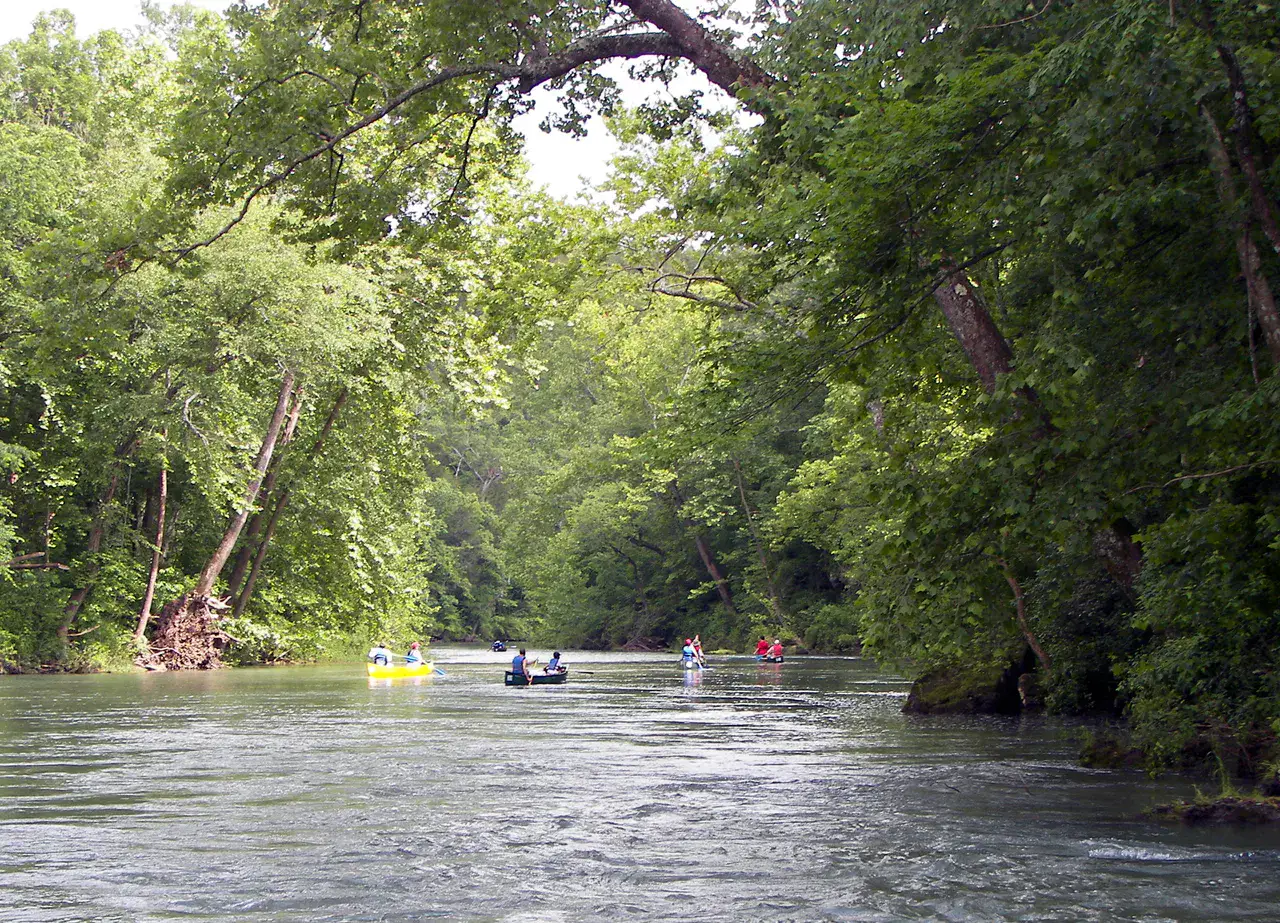
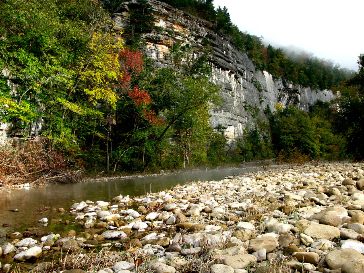
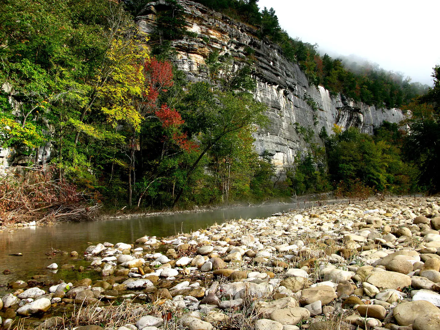
Buffalo National River It flows freely between limestone cliffs, forests of the Ozarks, gravels and calm meanders. Depending on the water level, the canoe descent reveals blond walls, wild beaches and silent bends where it is understood why the river was protected.
Nature and landscape
Whitaker Point
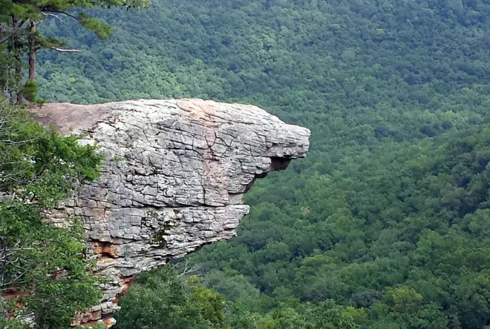
Whitaker Point, also called Hawksbill Crag, advances like a rock prow over the wooded valleys of Upper Buffalo. Hiking requires a little attention, but the arrival on this promontory offers one of the most recognizable images of the Arkansas Ozarks.
Nature and panorama
Hemmed-In Hollow Falls
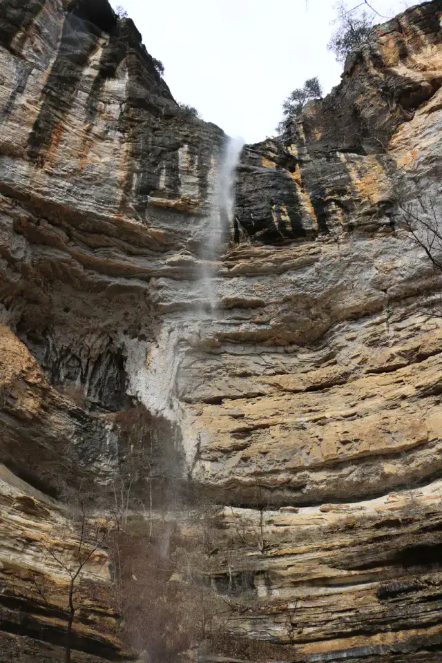
Hemmed-In Hollow Falls falls from a high wall in the forest of the Buffalo National River. Access is earned by a demanding trail or from the river according to conditions, but the rocky circus and vertical water net give a very clear reward to walkers.
Nature and panorama
Lost Valley Trail
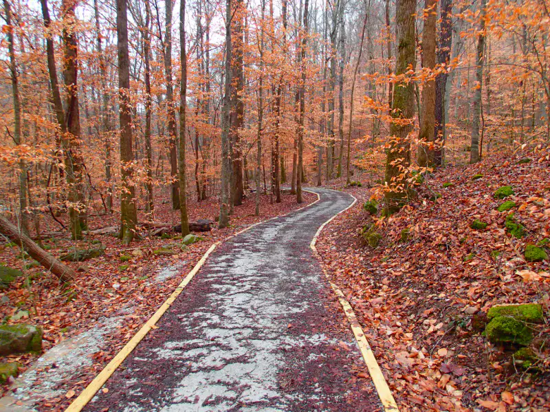
Lost Valley Trail concentrates many landscapes of the Ozarks in a short walk: light creek, limestone bluff, cave, seasonal waterfalls and fresh undergrowth. After the rain, the water animates basins and falls; in dry weather, the relief and cavities remain the main attraction.
เคล็ดลับที่ใช้ได้จริง
This information helps know if the destination matches the planned trip before starting a fuller search.
เพื่อไปต่อ
กิจกรรมเพิ่มเติม
ร้านอาหาร เส้นทางเดินเล่น วัฒนธรรม กิจกรรมสันทนาการ และทริปเที่ยวที่ค้นหาได้โดยไม่ต้องออกจากหน้าข้อมูลจุดหมายปลายทาง
จุดหมายปลายทางที่ใกล้ที่สุด
ไอเดียที่ใกล้ที่สุดบนแผนที่ เพื่อต่อยอดการเดินทางของคุณ
คล้ายกัน
ภูมิทัศน์และจังหวะการเดินทางแบบเดียวกัน ในที่อื่นของโลก