สรุปตัวตน
3 ถึง 6 วัน
ฤดูใบไม้ผลิ · ฤดูร้อน · ฤดูใบไม้ร่วง · ฤดูหนาว
แนะนำให้ใช้รถยนต์
ชายฝั่ง · ภูเขา · มรดก · ธรรมชาติ
การเข้าถึงแตกต่างกันไป
จังหวะปรับได้
ภาพรวมทั่วไป
Cabot Trail
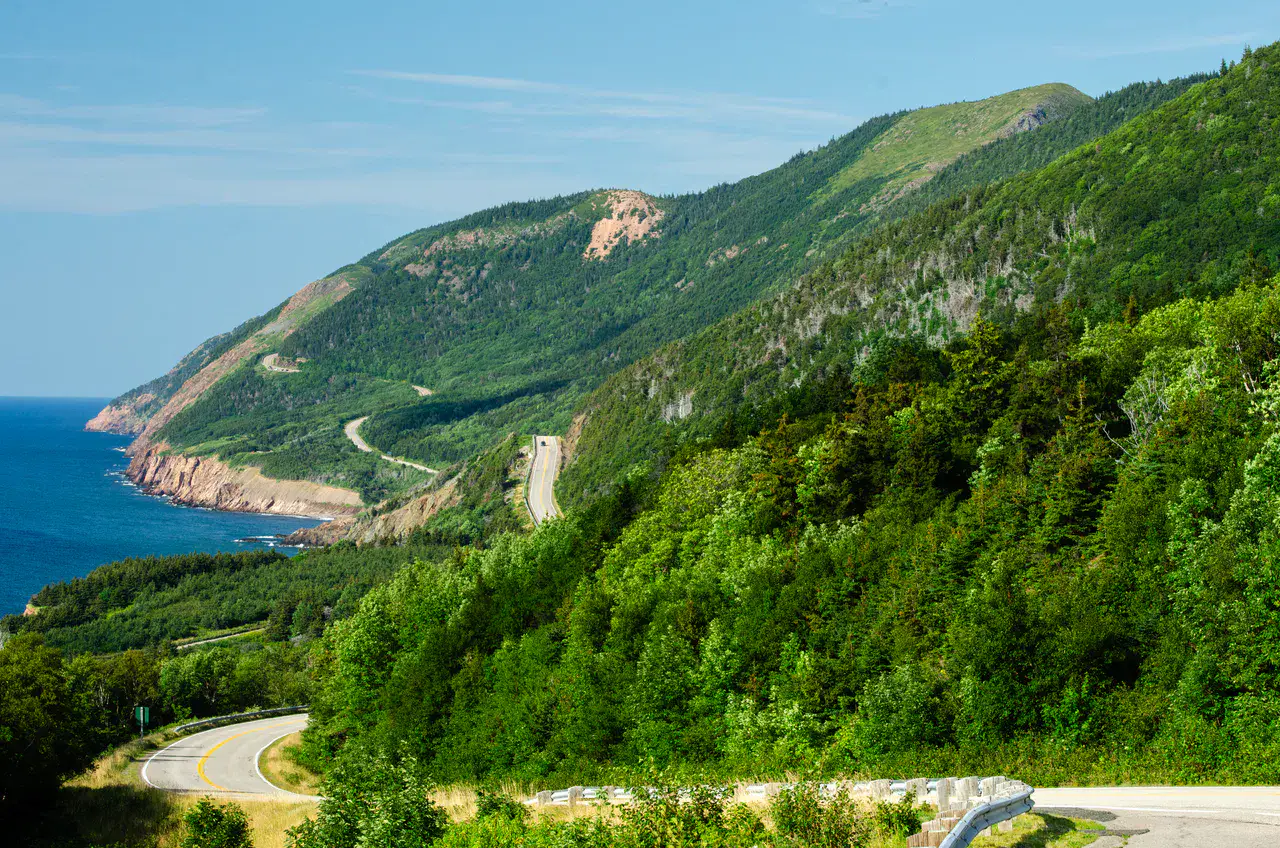
Close panoramic road between mountains and ocean, crossing Acadian communities and fishing villages.
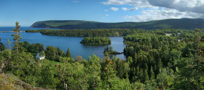
The discovery of Piste Cabot is based around Cabot Trail, Pleasant Bay and Chéticamp. The stay thus alternates between the coast, mountain reliefs, heritage and natural areas, giving a concrete picture of the destination beyond its only best known site.
ดูทั้งหมด
For a stay of 3 to 6 days, it is better to balance visits and travel times. Also to be anticipated: conditions to be checked according to the season. A car is usually the easiest way to connect the different sectors. Accessibility varies from site to site and deserves to be verified step by step.
จุดเด่นและข้อจำกัด
จุดเด่น
- Cabot Trail
- Pleasant Bay
- Chéticamp
ควรรู้ก่อนเลือก
- Car often useful
- Conditions to be checked by season
สถานที่ห้ามพลาด
การคัดเลือกเพื่อเริ่มฝันและวางแผนการพัก ไม่ใช่รายการครบถ้วนของทุกสิ่งที่น่าชม
Nature and panorama
Cabot Trail
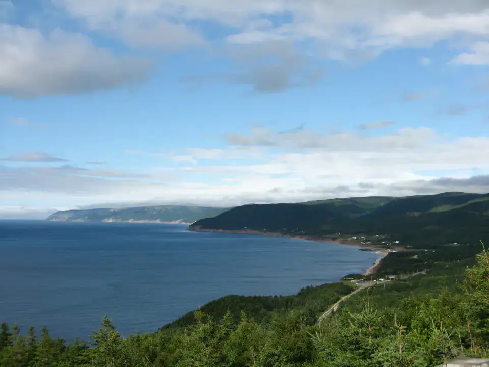
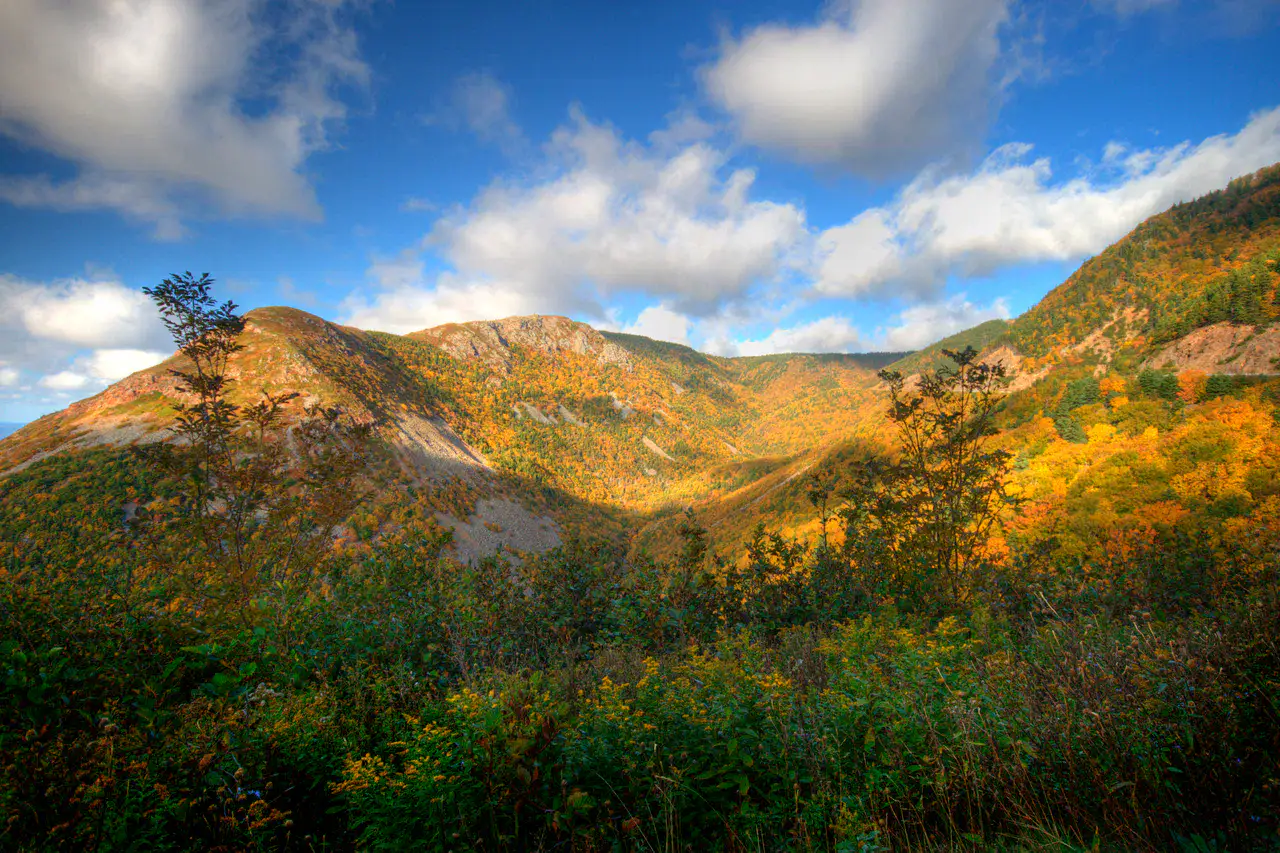
The Cabot Trail The route is as good for its viewpoints as for its rapid variations: Gulf of St. Lawrence, spruce-covered mountains, Acadian or Gaelic villages, and then winding descents to the sea.
Nature and scenery
Pleasant Bay
Pleasant Bay opens onto the Gulf of St. Lawrence, at the foot of the reliefs of the Cabot Trail. The village is known for the whale watching exits and for its end-of-road atmosphere, between small docks, inns, pebbles and mountains that almost fall into the water.
Place indismissible
Chéticamp
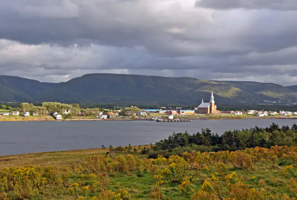
Chéticamp is one of Cape Breton's major Acadian homes, with colourful houses, music, hooked carpets and views of the Gulf. At the entrance to the Hautes-Terres Park, the village offers a living base before hiking, but above all keeps a cultural voice of its own.
Place indismissible
Cape Smokey
Cape Smokey overlooks the east coast of Cape Breton with steep slopes that plunge to the Atlantic. The road climbs in laces, opening spectacular views of Ingonish, beaches and the sea; in season, mountain activities add a more active dimension to the panorama.
เคล็ดลับที่ใช้ได้จริง
This information helps know if the destination matches the planned trip before starting a fuller search.
เพื่อไปต่อ
กิจกรรมเพิ่มเติม
ร้านอาหาร เส้นทางเดินเล่น วัฒนธรรม กิจกรรมสันทนาการ และทริปเที่ยวที่ค้นหาได้โดยไม่ต้องออกจากหน้าข้อมูลจุดหมายปลายทาง
จุดหมายปลายทางที่ใกล้ที่สุด
ไอเดียที่ใกล้ที่สุดบนแผนที่ เพื่อต่อยอดการเดินทางของคุณ
คล้ายกัน
ภูมิทัศน์และจังหวะการเดินทางแบบเดียวกัน ในที่อื่นของโลก