สรุปตัวตน
2 ถึง 5 วัน
ฤดูใบไม้ผลิ · ฤดูร้อน · ฤดูใบไม้ร่วง · ฤดูหนาว
แนะนำให้ใช้รถยนต์
ทะเลทราย · มรดก · ธรรมชาติ
การเข้าถึงแตกต่างกันไป
จังหวะสบาย ๆ
ภาพรวมทั่วไป
Capitol Reef
Long rocky fold, historic orchards and little frequented canyons.
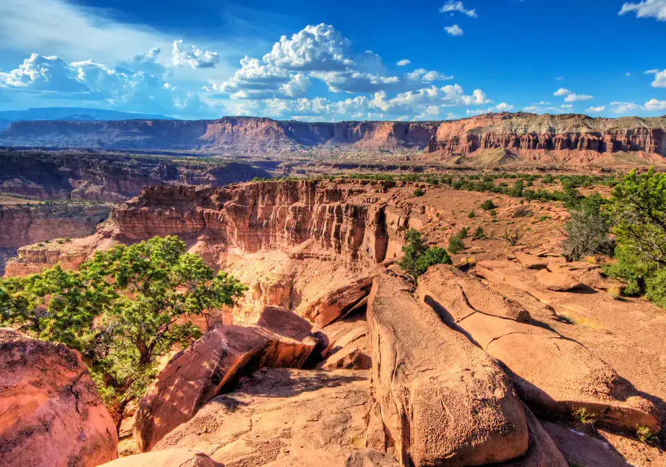
The discovery of Capitol Reef revolves around Waterpocket Fold, Capitol Gorge and Fruita Historic District. The stay thus alternates between desert areas, heritage and natural areas, giving a concrete picture of the destination beyond its only best known site.
ดูทั้งหมด
For a stay of 2 to 5 days, a quiet rhythm works well. Also to be anticipated: conditions to be checked according to the season. A car is usually the easiest way to connect different sectors. Accessibility varies from site to site and deserves to be checked step by step.
จุดเด่นและข้อจำกัด
จุดเด่น
- Waterpocket Fold
- Capitol Gorge
- Fruita Historic District
ควรรู้ก่อนเลือก
- Car often useful
- Conditions to be checked by season
สถานที่ห้ามพลาด
การคัดเลือกเพื่อเริ่มฝันและวางแผนการพัก ไม่ใช่รายการครบถ้วนของทุกสิ่งที่น่าชม
Place indismissible
Waterpocket Fold
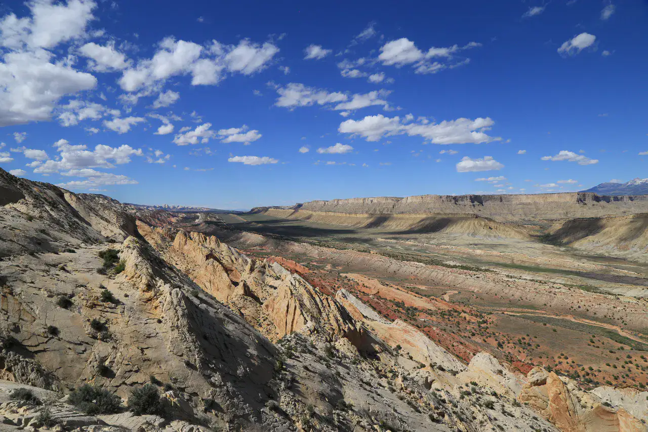
The Waterpocket Fold is the long geological wrinkle that gives to Capitol Reef Its special relief: pleated layers, cliffs, clear domes and dry canyons. The park's roads and paths reveal successive fragments, as if it were moving along a pound of open rock in the desert.
Culture and heritage
Capitol Gorge
Capitol Gorge is a narrow canyon where the old road passed between almost vertical sandstone walls. There are still inscriptions of pioneers, petroglyphs in the neighbouring area and pockets of water dug in the rock; the walk is well suited to those who like to feel history in the landscape.
Culture and heritage
Fruita Historic District
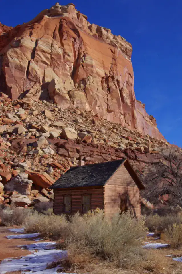
Fruita Historic District is surprised by its orchards, rural buildings and green meadows at the foot of the cliffs of Capitol Reef. The ancient Mormon village maintains a rare agricultural atmosphere in this mineral setting, with fruit trees, a historic school and the Gifford House, known for its local pies and products.
Nature and panorama
Hickman Bridge
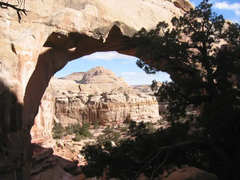
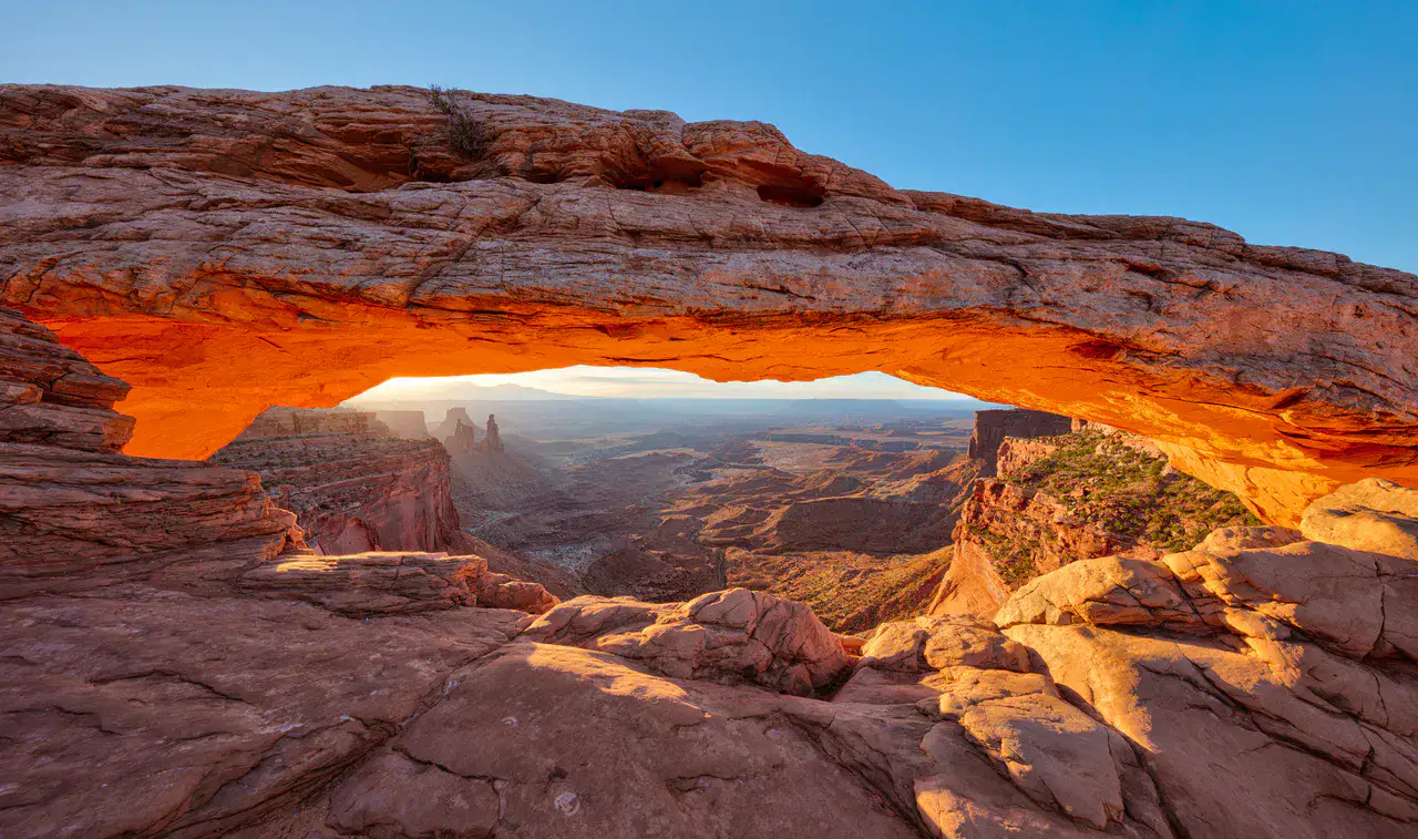
Hickman Bridge is a natural arch that is accessible by a trail that climbs over the Fremont River before crossing slabs, junipers and sandstone blocks. The arch appears as a massive opening in the rock, close enough to observe its texture and high enough to frame the sky of the canyon.
เคล็ดลับที่ใช้ได้จริง
This information helps know if the destination matches the planned trip before starting a fuller search.
เพื่อไปต่อ
กิจกรรมเพิ่มเติม
ร้านอาหาร เส้นทางเดินเล่น วัฒนธรรม กิจกรรมสันทนาการ และทริปเที่ยวที่ค้นหาได้โดยไม่ต้องออกจากหน้าข้อมูลจุดหมายปลายทาง
จุดหมายปลายทางที่ใกล้ที่สุด
ไอเดียที่ใกล้ที่สุดบนแผนที่ เพื่อต่อยอดการเดินทางของคุณ
คล้ายกัน
ภูมิทัศน์และจังหวะการเดินทางแบบเดียวกัน ในที่อื่นของโลก