สรุปตัวตน
2 ถึง 5 วัน
ฤดูใบไม้ผลิ · ฤดูร้อน · ฤดูใบไม้ร่วง · ฤดูหนาว
แนะนำให้ใช้รถยนต์
ภูเขา · แม่น้ำ · ธรรมชาติ
การเข้าถึงแตกต่างกันไป
จังหวะปรับได้
ภาพรวมทั่วไป
Langshan and Xinning
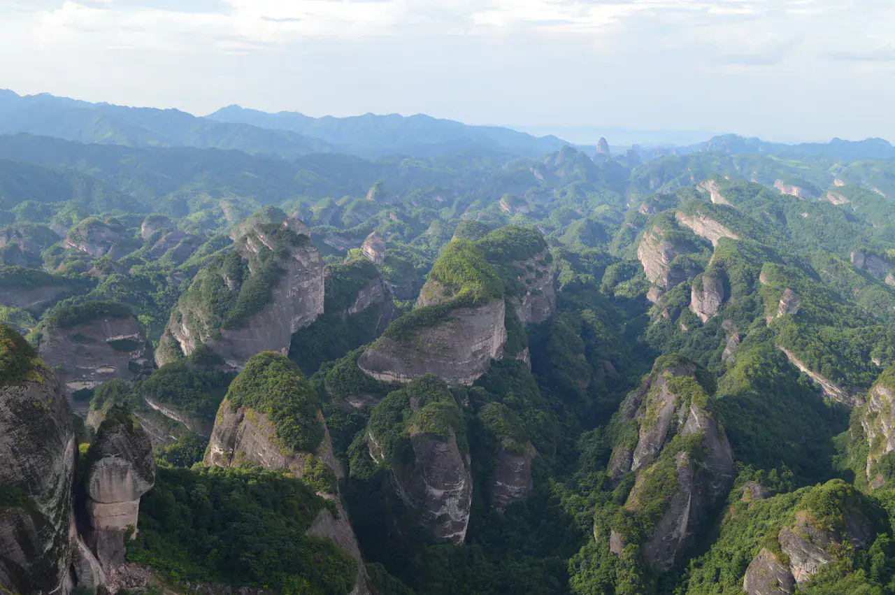
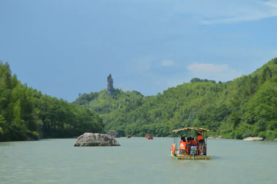
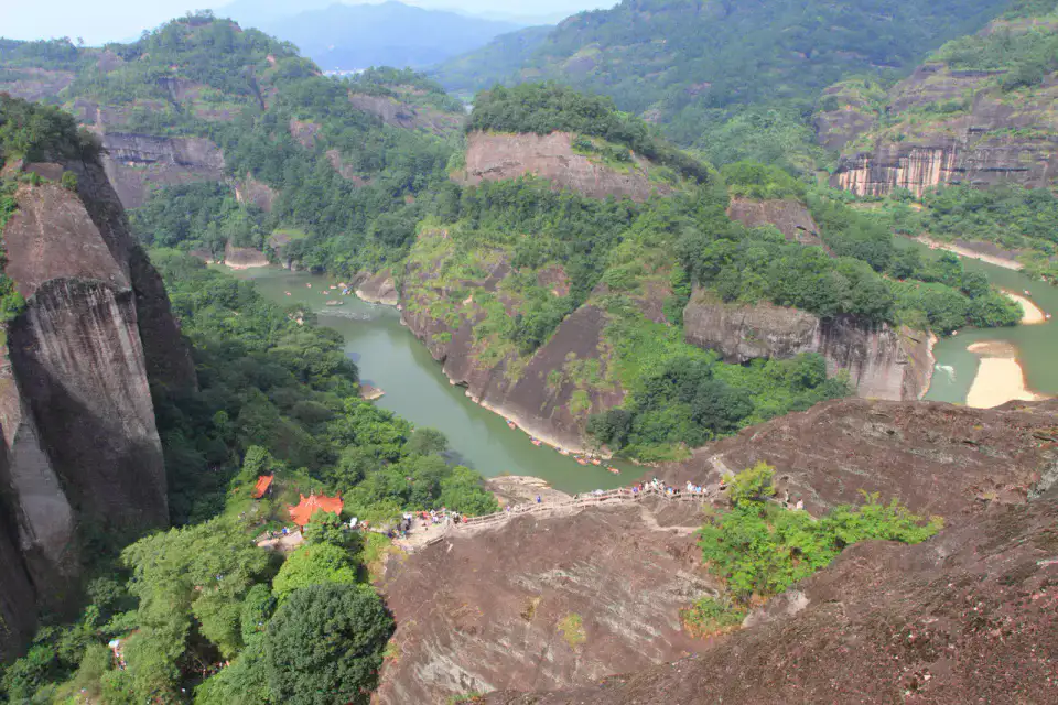
Red falsies, natural arches and the Fuyi River make up a spectacular danxia relief in the southwest of Hunan.
The discovery of Langshan and Xinning revolves around Mount Langshan, River Fuyi and Danxia de Langshan. The stay thus alternates between mountain reliefs, riverscapes and natural spaces, which gives a concrete picture of the destination beyond its only best known site.
ดูทั้งหมด
For a stay of 2 to 5 days, it is better to balance visits and travel times. Also to be anticipated: conditions to be checked according to the season. A car is usually the easiest way to connect the different sectors. Accessibility varies from site to site and deserves to be verified step by step.
จุดเด่นและข้อจำกัด
จุดเด่น
- Mount Langshan
- Fuyi River
- Danxia de Langshan
ควรรู้ก่อนเลือก
- Car often useful
- Conditions to be checked by season
สถานที่ห้ามพลาด
การคัดเลือกเพื่อเริ่มฝันและวางแผนการพัก ไม่ใช่รายการครบถ้วนของทุกสิ่งที่น่าชม
Place indismissible
Mount Langshan
Red sandstone towers, gorges and stairs form one of the danxia world heritage landscapes. Distances, weather and access conditions must be checked prior to departure; water, adapted shoes and hourly margins remain useful outside the cities.
แม่น้ำ
Fuyi River
The river crosses the red reliefs and the countryside around Xinning. Season, wind and water level greatly alter the experience; it is also necessary to respect the fragile banks and any local restrictions.
Place indismissible
Danxia de Langshan
Falaise, ravines and sandstone domes illustrate one of the six sectors of the danxia world heritage. An early-in-the-day visit allows you to better observe local usages and the details of the place, while avoiding some of the groups and traffic.
Village
Bourg de Xinning
The county centre serves as a base for the reliefs of the Langshan An early visit to the area allows you to better observe local usages and the details of the place, while avoiding some of the groups and traffic.
เคล็ดลับที่ใช้ได้จริง
This information helps know if the destination matches the planned trip before starting a fuller search.
เพื่อไปต่อ
กิจกรรมเพิ่มเติม
ร้านอาหาร เส้นทางเดินเล่น วัฒนธรรม กิจกรรมสันทนาการ และทริปเที่ยวที่ค้นหาได้โดยไม่ต้องออกจากหน้าข้อมูลจุดหมายปลายทาง
จุดหมายปลายทางที่ใกล้ที่สุด
ไอเดียที่ใกล้ที่สุดบนแผนที่ เพื่อต่อยอดการเดินทางของคุณ
คล้ายกัน
ภูมิทัศน์และจังหวะการเดินทางแบบเดียวกัน ในที่อื่นของโลก