สรุปตัวตน
2 ถึง 6 วัน
ฤดูใบไม้ผลิ · ฤดูร้อน · ฤดูใบไม้ร่วง
แนะนำให้ใช้รถยนต์
ชายฝั่ง · ธรรมชาติ
การเข้าถึงแตกต่างกันไป
จังหวะปรับได้
ภาพรวมทั่วไป
Lower Saxony Wadden Sea
Cote de pondes, vasières UNESCO, ports, dikes, lighthouses, birds and excursions to the islands.
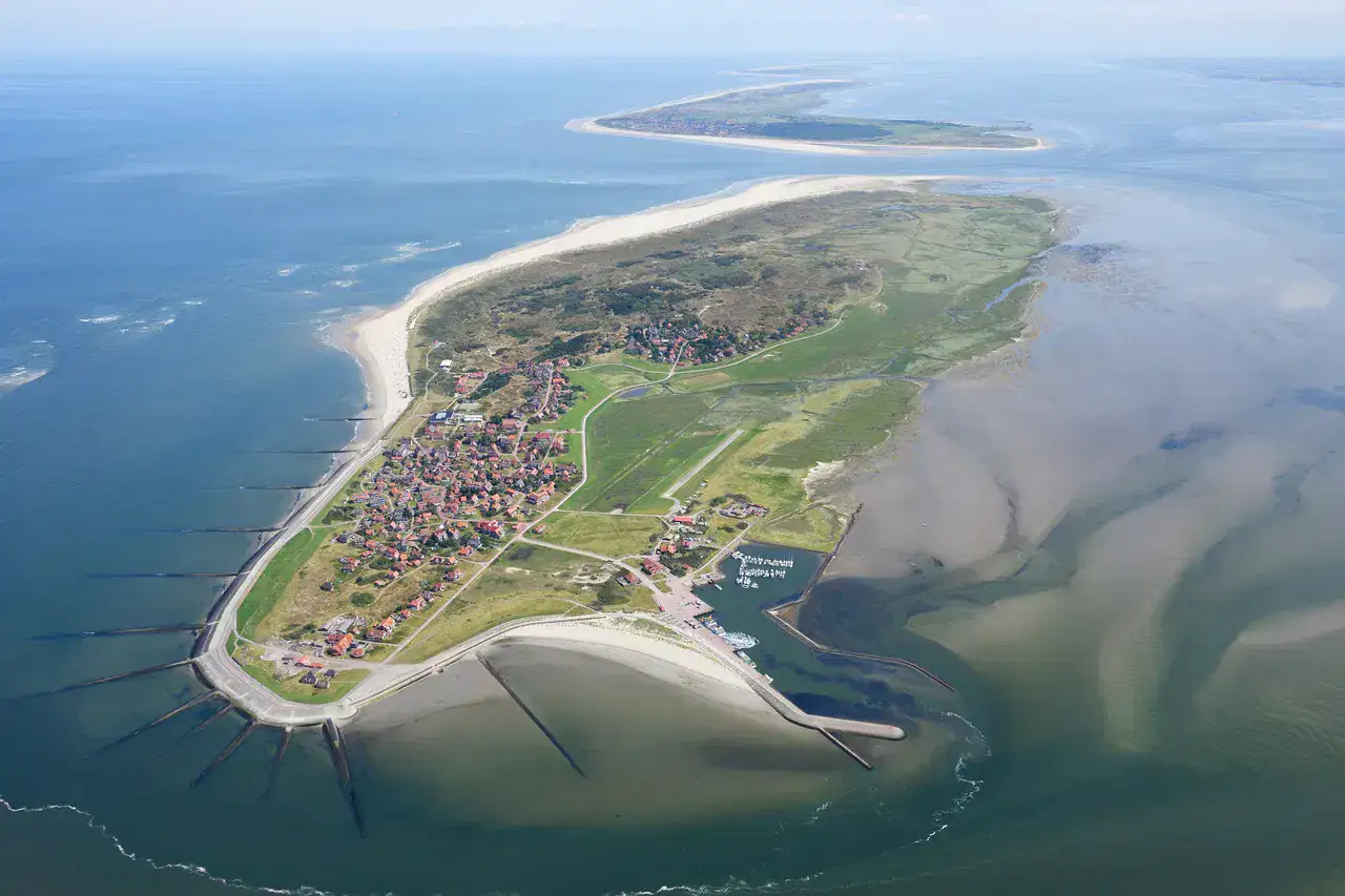
To understand what Sea of the Wadden of Lower Saxony is, look at Nationalpark Niedersächsisches Wattenmeer, Cuxhaven and Wilhelmshaven. These places give you a view of a territory marked by the coastline and natural spaces and allow you to pass from emblematic sites to more intimate stages.
ดูทั้งหมด
For a stay of 2 to 6 days, it is better to balance visits and travel times. To anticipate also: pondes to respect and strong wind. A car is usually the easiest way to connect different sectors. Accessibility varies from site to site and deserves to be checked step by step.
จุดเด่นและข้อจำกัด
จุดเด่น
- Nationalpark Niedersächsisches Wattenmeer
- Cuxhaven
- Wilhelmshaven
- Neuharlingersiel
- Wangerooge
ควรรู้ก่อนเลือก
- Marees to respect
- Strong wind
- Swimming different from the Mediterranean
สถานที่ห้ามพลาด
การคัดเลือกเพื่อเริ่มฝันและวางแผนการพัก ไม่ใช่รายการครบถ้วนของทุกสิ่งที่น่าชม
Remarkable location
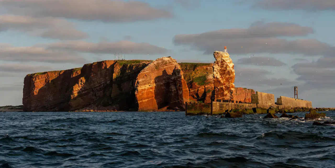
Heligoland
Heligoland divides with the low islands of the Wadden Sea by its red cliffs, seabirds and isolation in the North Sea. The crossing conditions the visit: when the wind falls, the cliff trails and the Lange Anna rock offer a steeper landscape than that of the nearby mudflats.
Place
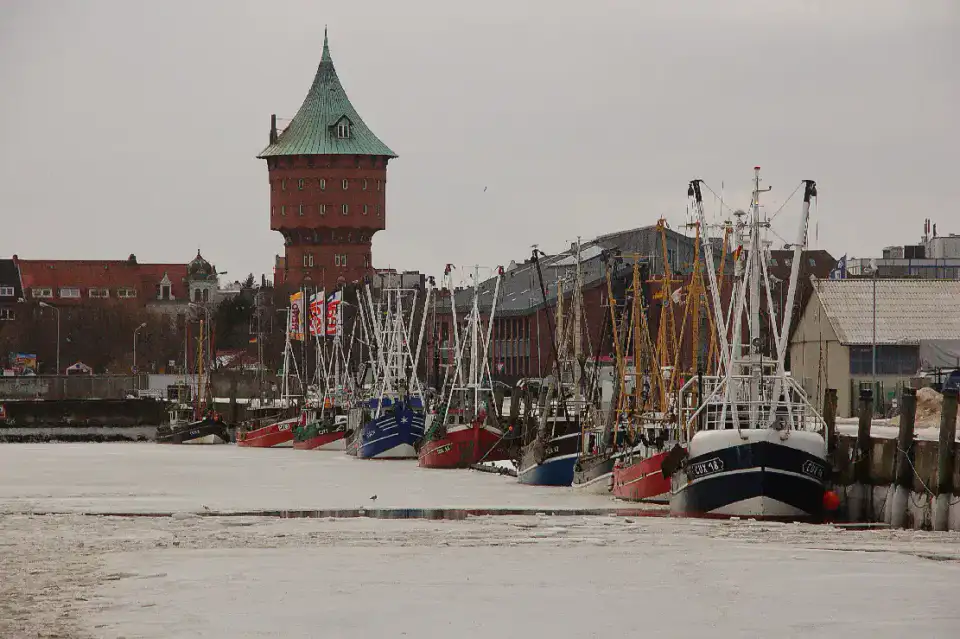
Cuxhaven
Cuxhaven is understood by the juxtaposition of docks, alleys and marine horizons, more than by means of a unique narrative. The right time is when you can alternate photo stop, observe local usages and walk along the waterfront to feel the dynamics of the places.
Place
Wilhelmshaven
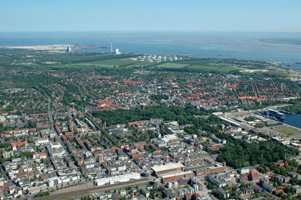
In Wilhelmshaven, the relationship between port infrastructure and urban areas creates a very characteristic atmosphere of the Wadden Sea. The traveller who slows down his journey discovers finer lines of view, especially when the passage decreases and the light structures more space.
Place
Neuharlingersiel
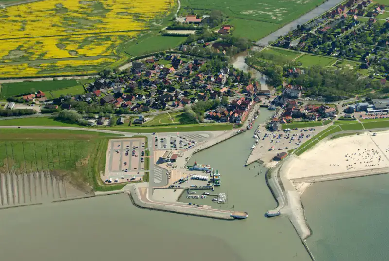
Neuharlingersiel surprises with his frontal reading of the coast: banks, docks, fishing alleys and small squares form a living map. It's a stopover that makes sense early in the morning or late in the day, when the shades of sky make the site more readable.
เคล็ดลับที่ใช้ได้จริง
This information helps know if the destination matches the planned trip before starting a fuller search.
เพื่อไปต่อ
กิจกรรมเพิ่มเติม
ร้านอาหาร เส้นทางเดินเล่น วัฒนธรรม กิจกรรมสันทนาการ และทริปเที่ยวที่ค้นหาได้โดยไม่ต้องออกจากหน้าข้อมูลจุดหมายปลายทาง
จุดหมายปลายทางที่ใกล้ที่สุด
ไอเดียที่ใกล้ที่สุดบนแผนที่ เพื่อต่อยอดการเดินทางของคุณ
คล้ายกัน
ภูมิทัศน์และจังหวะการเดินทางแบบเดียวกัน ในที่อื่นของโลก