บันทึกของ Kuujjuaq and Ungava Bay
ช้าลงเพื่อมองเห็นสิ่งที่เปลี่ยนไปได้ดีขึ้น
An isolated Arctic destination where tundra, large rivers and Inuit culture structure an expedition journey.
ตามจังหวะของคุณ
สรุปตัวตน
5 ถึง 10 วัน
ฤดูใบไม้ผลิ · ฤดูร้อน · ฤดูใบไม้ร่วง · ฤดูหนาว
แนะนำให้ใช้รถยนต์
แม่น้ำ · ธรรมชาติ · มรดก
การเข้าถึงแตกต่างกันไป
จังหวะสบาย ๆ
ภาพรวมทั่วไป
Kuujjuaq and Ungava Bay
An isolated Arctic destination where tundra, large rivers and Inuit culture structure an expedition journey.
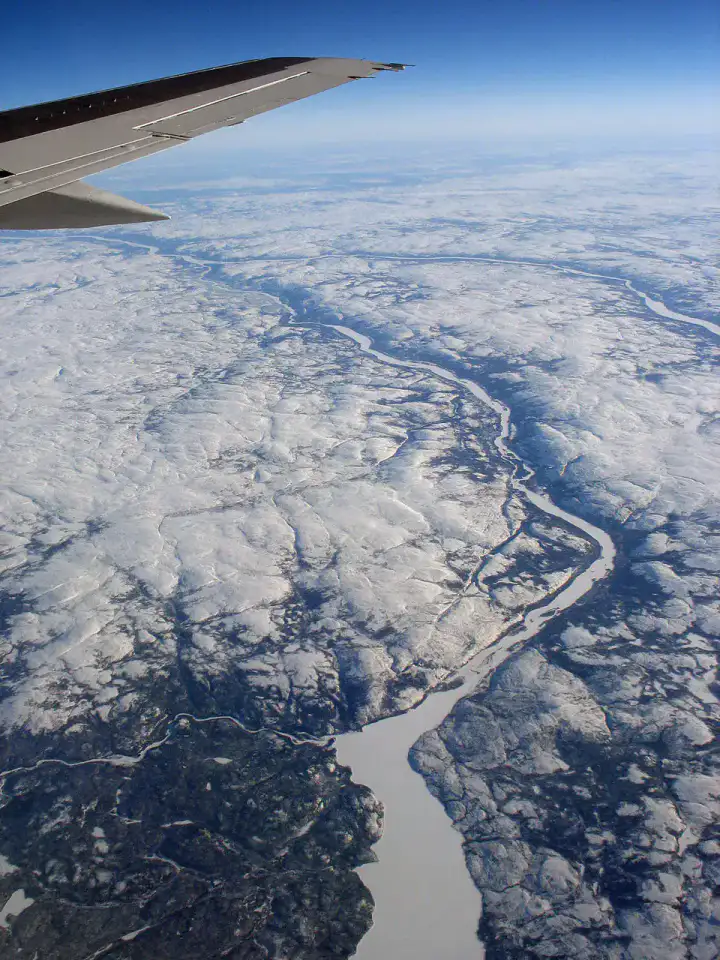
Kuujjuaq, Koksoak River and Kuururjuaq National Park give the most telling landmarks of Kuujjuaq and Ungava Bay. Together, they form a destination where riverscapes, natural spaces and heritage meet, with atmospheres that change over the stages rather than a single uniform decor.
ดูทั้งหมด
For a stay of 5 to 10 days, a quiet rhythm works well. Also to be anticipated: conditions to be checked according to the season. A car is usually the easiest way to connect the different sectors. Accessibility varies from site to site and deserves to be verified step by step.
จุดเด่นและข้อจำกัด
จุดเด่น
- Kuujjuaq
- Koksoak River
- Kuurjuaq National Park
ควรรู้ก่อนเลือก
- Car often useful
- Conditions to be checked by season
สถานที่ห้ามพลาด
การคัดเลือกเพื่อเริ่มฝันและวางแผนการพัก ไม่ใช่รายการครบถ้วนของทุกสิ่งที่น่าชม
Place indismissible
Kuujjuaq
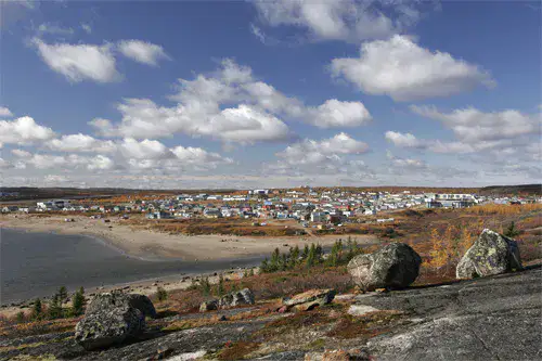
Kuujjuaq The village is located near the Koksoak River, between tundra, gravel roads and colourful houses adapted to the North. For travellers arriving in Nunavik, the village gives first contact with contemporary Inuit culture, large subarctic spaces and a light that quickly changes the landscape.
แม่น้ำ
Koksoak River
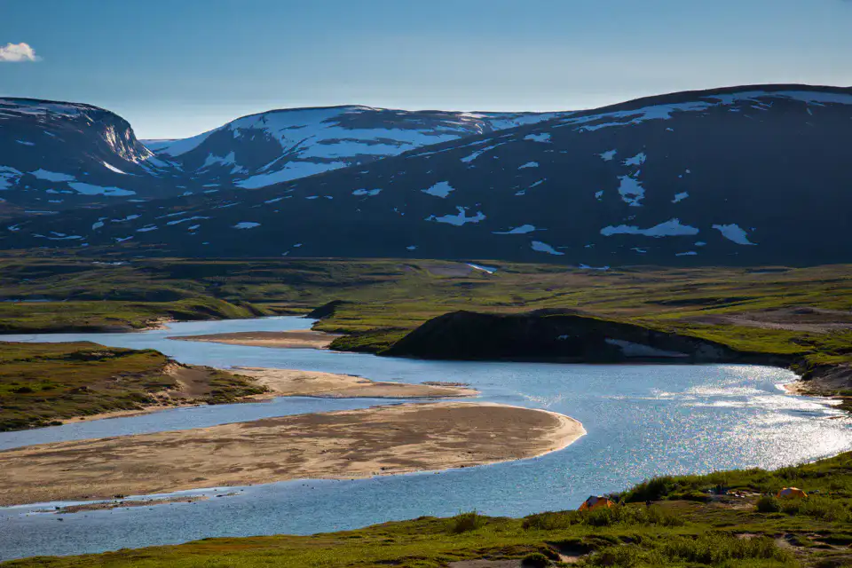
Large, powerful and changing, the Koksoak River structures life Kuujjuaq before reaching Ungava Bay. Its banks open onto a landscape of tundra, islets, tides and immense sky, where the importance of boating, fishing and northern seasons is better understood.
อุทยานธรรมชาติ
Kuurjuaq National Park
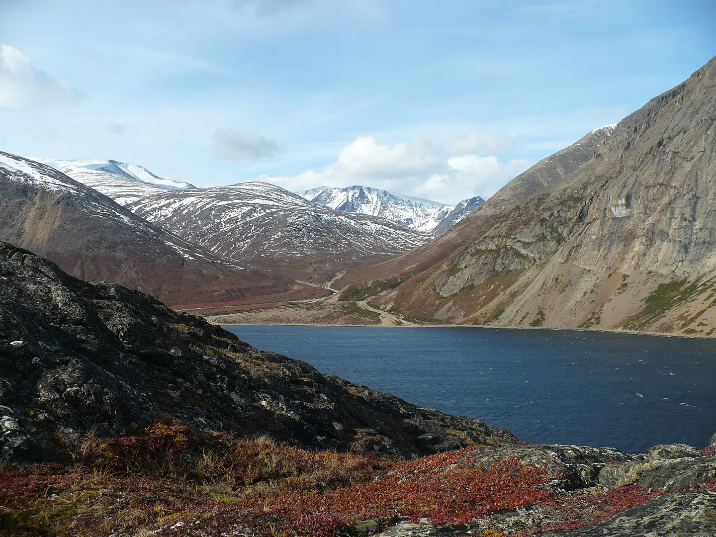
Kuururjuaq protects a spectacular piece of North, from the valleys running towards Ungava Bay to the reliefs of the Torngat. It is a territory of expedition more than a walk: wild rivers, isolated camps, bare mountains and changing weather require a real preparation.
Place indismissible
Monts Torngat
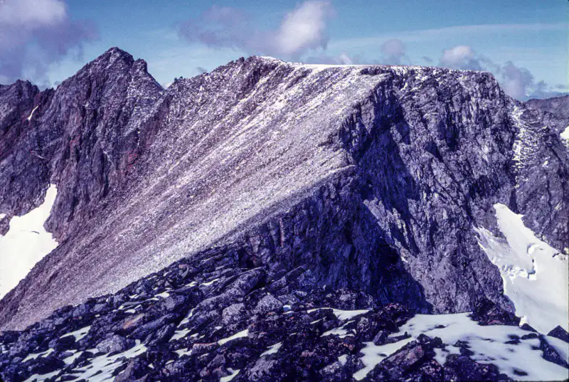
The Torngat Mountains lay their dark walls between northern Quebec, Labrador and the Atlantic. The landscape is austere and striking: fjords, glacial valleys, bare peaks, late snow plates and traces of an ancient Inuit presence in one of the most remote reliefs in eastern Canada.
เคล็ดลับที่ใช้ได้จริง
This information helps know if the destination matches the planned trip before starting a fuller search.
เพื่อไปต่อ
กิจกรรมเพิ่มเติม
ร้านอาหาร เส้นทางเดินเล่น วัฒนธรรม กิจกรรมสันทนาการ และทริปเที่ยวที่ค้นหาได้โดยไม่ต้องออกจากหน้าข้อมูลจุดหมายปลายทาง
จุดหมายปลายทางที่ใกล้ที่สุด
ไอเดียที่ใกล้ที่สุดบนแผนที่ เพื่อต่อยอดการเดินทางของคุณ
ทริปหนีเมืองที่น่าค้นพบ
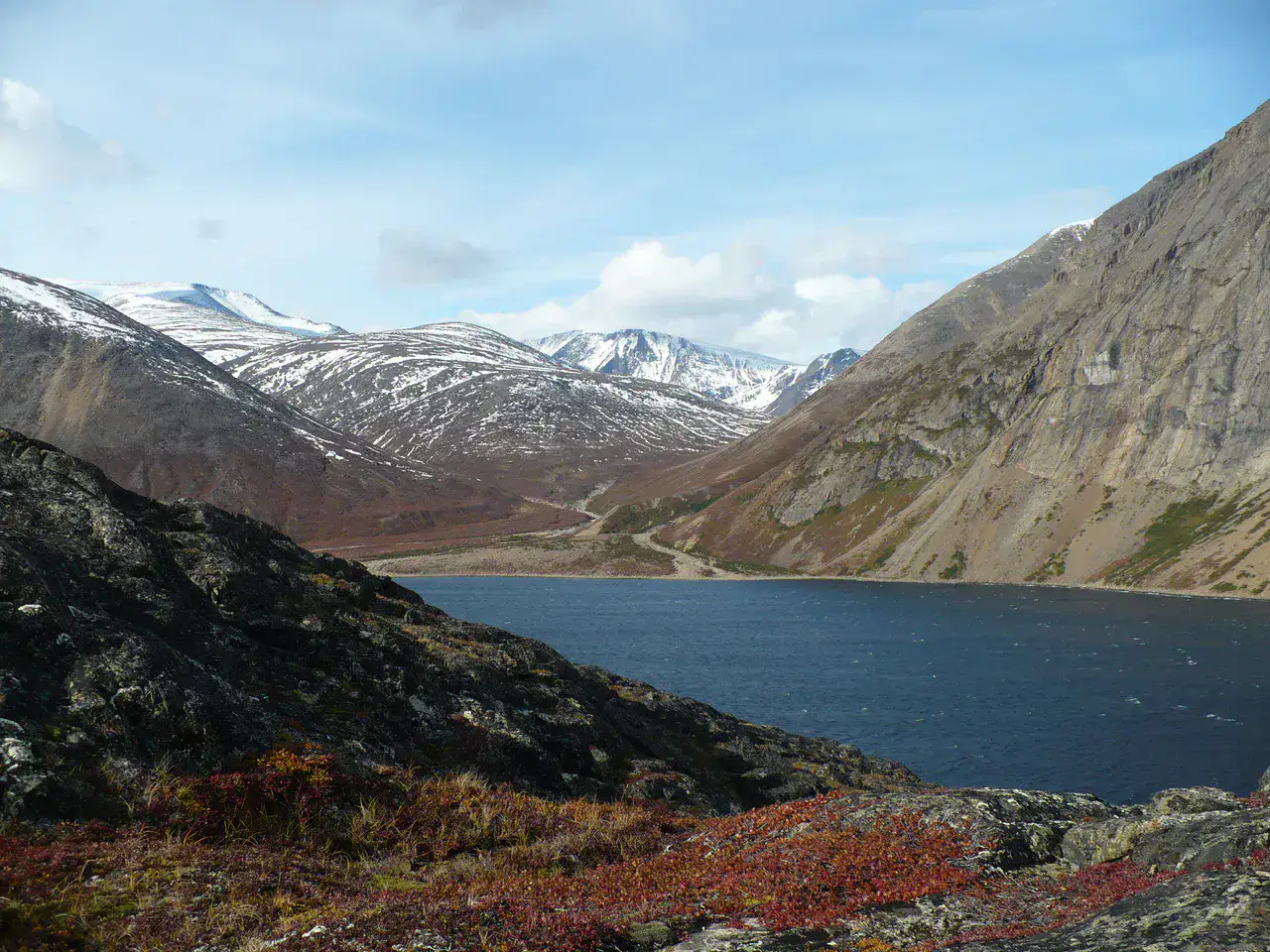
Torngat Mountains National Park
นิวฟันด์แลนด์และลาบราดอร์, 🇨🇦 แคนาดา
ค้นพบไอเดียนี้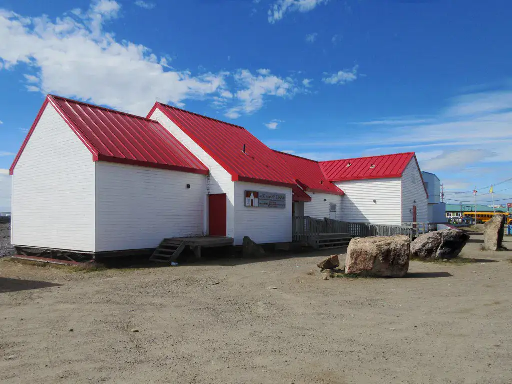
คล้ายกัน
ภูมิทัศน์และจังหวะการเดินทางแบบเดียวกัน ในที่อื่นของโลก