
สรุปตัวตน
3 ถึง 7 วัน
ฤดูใบไม้ผลิ · ฤดูร้อน · ฤดูใบไม้ร่วง · ฤดูหนาว
แนะนำให้ใช้รถยนต์
ภูเขา · ป่า · ทะเลสาบ · ธรรมชาติ
การเข้าถึงแตกต่างกันไป
จังหวะปรับได้
ภาพรวมทั่วไป
Ouachita Mountains
Parallel crates, forests and lakes forming a vast hiking area west of Hot Springs.
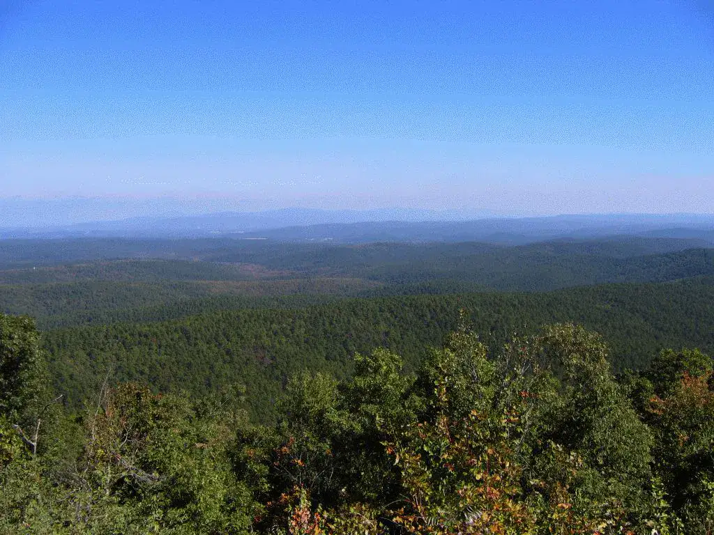
Ouachita National Forest, Lake Ouachita and Mount Ida give the most telling landmarks of Ouachita Mountains. Together, they form a destination where mountain reliefs, forests, shores and lakes and natural spaces meet, with atmospheres that change over the course of the stages rather than just one uniform decor.
ดูทั้งหมด
For a stay of 3 to 7 days, it is better to balance visits and travel times. Also to be anticipated: conditions to be checked according to the season. A car is usually the easiest way to connect the different sectors. Accessibility varies from site to site and deserves to be verified step by step.
จุดเด่นและข้อจำกัด
จุดเด่น
- Ouachita National Forest
- Lake Ouachita
- Mount Ida
ควรรู้ก่อนเลือก
- Car often useful
- Conditions to be checked by season
สถานที่ห้ามพลาด
การคัดเลือกเพื่อเริ่มฝันและวางแผนการพัก ไม่ใช่รายการครบถ้วนของทุกสิ่งที่น่าชม
Place indismissible
Ouachita National Forest
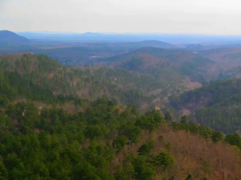
Ouachita National Forest covers long wooded ridges, discrete valleys and winding roads between Arkansas and Oklahoma. Pines, deciduous, rivers and viewpoints make up a slow hiking, camping and driving terrain, especially pleasant when autumn colours win the slopes.
ทะเลสาบ
Lake Ouachita
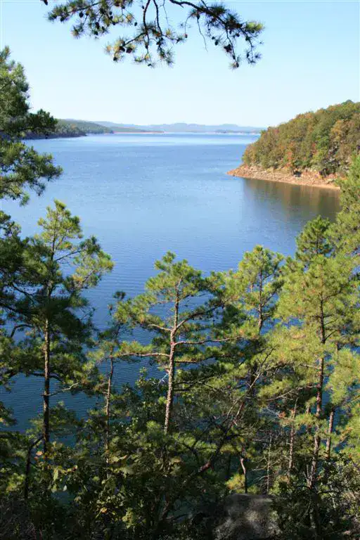
Lake Ouachita It is known for its clear waters, wooded islands and coves where it is possible to get away from the most frequented areas. Boat, kayak, swimming and diving take a central place, with the hills of the Ouachita in the background.
Nature and panorama
Mount Ida
Mount Ida serves as a small entrance door to the Ouachita Mountains The city is particularly interested in travellers attracted to crystals, forest roads and access to Lake Ouachita rather than a classic urban visit.
Nature and panorama
Ouachita National Recreation Trail
I'm not sure what I'm doing.Ouachita National Recreation Trail Crossing ridges, forests and passes between Oklahoma and Arkansas, with long isolated sections. Hikers can choose a short stretch or aim for several days, but the pleasure comes mainly from wooded ridge lines and sudden views between trees.
เคล็ดลับที่ใช้ได้จริง
This information helps know if the destination matches the planned trip before starting a fuller search.
เพื่อไปต่อ
กิจกรรมเพิ่มเติม
ร้านอาหาร เส้นทางเดินเล่น วัฒนธรรม กิจกรรมสันทนาการ และทริปเที่ยวที่ค้นหาได้โดยไม่ต้องออกจากหน้าข้อมูลจุดหมายปลายทาง
จุดหมายปลายทางที่ใกล้ที่สุด
ไอเดียที่ใกล้ที่สุดบนแผนที่ เพื่อต่อยอดการเดินทางของคุณ

ทริปหนีเมืองที่น่าค้นพบ
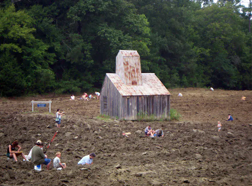
Crater of Diamonds and south-west Arkansas
อาร์คันซอ, 🇺🇸 สหรัฐอเมริกา
ค้นพบไอเดียนี้คล้ายกัน
ภูมิทัศน์และจังหวะการเดินทางแบบเดียวกัน ในที่อื่นของโลก