สรุปตัวตน
3 ถึง 6 วัน
ฤดูใบไม้ผลิ · ฤดูร้อน · ฤดูใบไม้ร่วง · ฤดูหนาว
แนะนำให้ใช้รถยนต์
ภูเขา · ทะเลสาบ · ภูเขาไฟ · ธรรมชาติ
การเข้าถึงแตกต่างกันไป
จังหวะปรับได้
ภาพรวมทั่วไป
Mount Paektu and Samjiyon
Border volcano, crater lake and high-altitude city occupy a central place in the geography and official narrative of the country.
Lake Chon at Mount Paektu, City of Samjiyon and Cascades of Rimyongsu give the most telling landmarks of Mount Paektu and Samjiyon. Together, they make up a destination where mountain reliefs, shores and lakes, volcanic landscapes and natural spaces meet, with atmospheres that change over the course of the stages rather than just one uniform decor.
ดูทั้งหมด
For a stay of 3 to 6 days, it is better to balance visits and travel times. Also to be anticipated: conditions to be checked according to the season. A car is usually the easiest way to connect the different sectors. Accessibility varies from site to site and deserves to be verified step by step.
จุดเด่นและข้อจำกัด
จุดเด่น
- Lake Chon au mont Paektu
- City of Samjiyon
- Rimyongsu Cascades
ควรรู้ก่อนเลือก
- Car often useful
- Conditions to be checked by season
สถานที่ห้ามพลาด
การคัดเลือกเพื่อเริ่มฝันและวางแผนการพัก ไม่ใช่รายการครบถ้วนของทุกสิ่งที่น่าชม
ทะเลสาบ
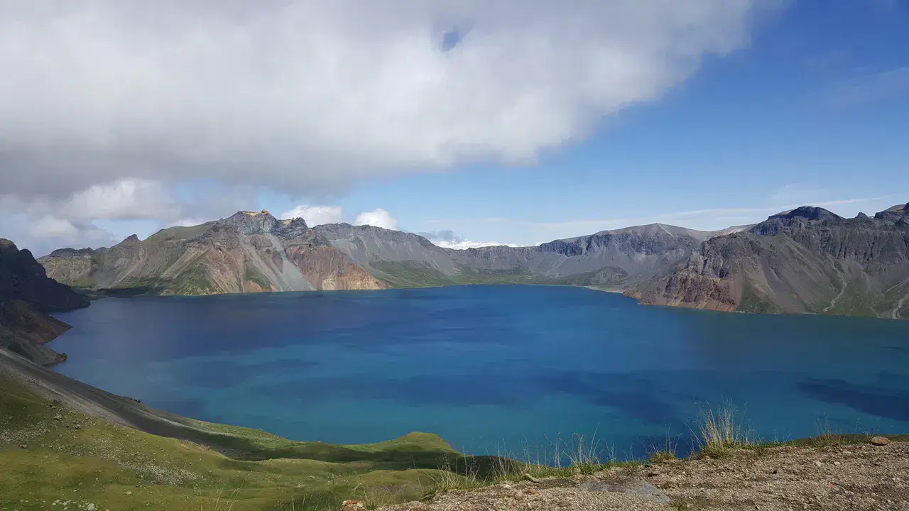
Lake Chon au mont Paektu
Lake Chon fills the caldeira from Mount Paektu to the Chinese border, in a volcanic landscape subjected to a very brutal weather. The site is sacralized by the North Korean national narrative; road access, cable car and observation depend entirely on the conditions and authorizations.
Place indismissible
City of Samjiyon
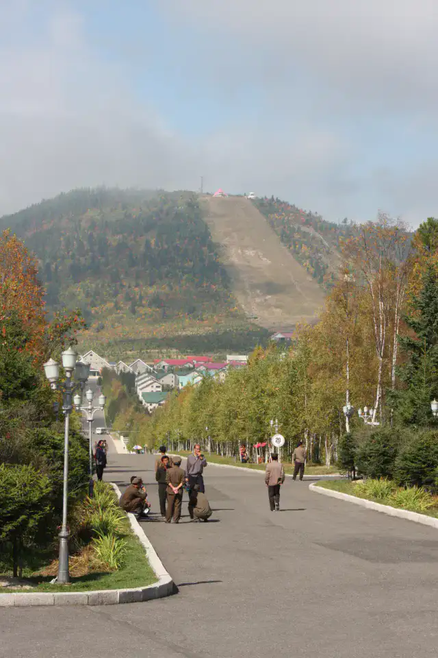
Samjiyon has been largely rebuilt as a model town near Mount Paektu, with state-planned hotels, accommodations and cultural facilities. It serves as a basis for regional visits, without independent freedom of movement or guaranteed access to the announced infrastructure.
น้ำตก
Rimyongsu Cascades
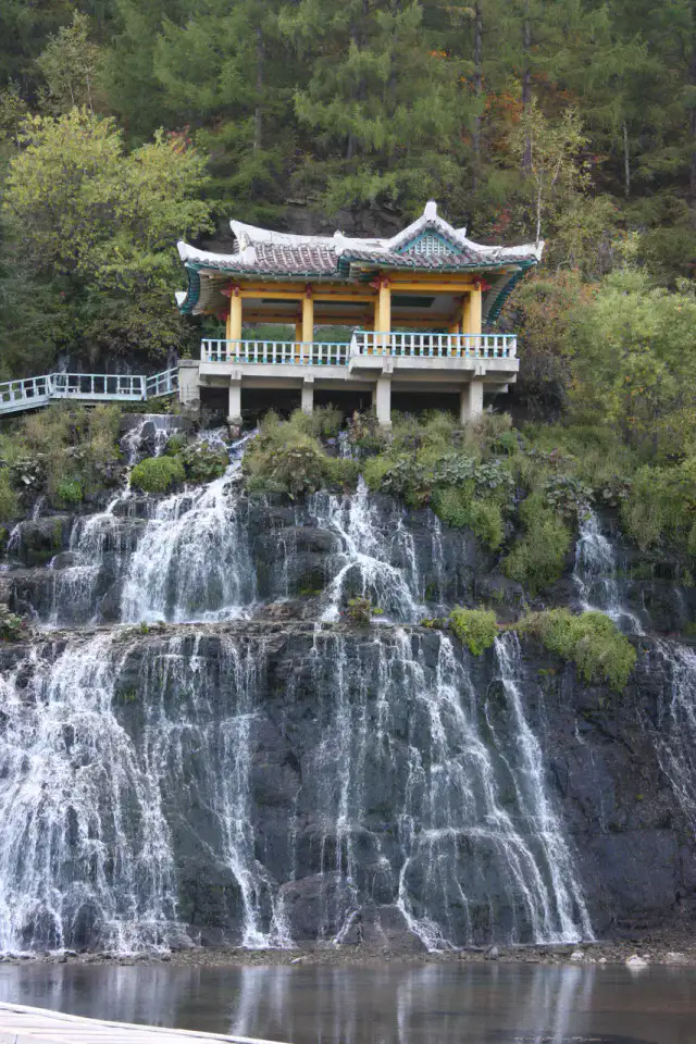
Rimyongsu causes many falls to flow from a basaltic cliff on the edge of a forest village. The water continues partially to flow under the ice in winter, creating a singular landscape accessible only when the excursion is included in the official program.
เคล็ดลับที่ใช้ได้จริง
This information helps know if the destination matches the planned trip before starting a fuller search.
เพื่อไปต่อ
กิจกรรมเพิ่มเติม
ร้านอาหาร เส้นทางเดินเล่น วัฒนธรรม กิจกรรมสันทนาการ และทริปเที่ยวที่ค้นหาได้โดยไม่ต้องออกจากหน้าข้อมูลจุดหมายปลายทาง
จุดหมายปลายทางที่ใกล้ที่สุด
ไอเดียที่ใกล้ที่สุดบนแผนที่ เพื่อต่อยอดการเดินทางของคุณ
คล้ายกัน
ภูมิทัศน์และจังหวะการเดินทางแบบเดียวกัน ในที่อื่นของโลก