สรุปตัวตน
3 ถึง 7 วัน
ฤดูใบไม้ผลิ · ฤดูร้อน · ฤดูใบไม้ร่วง
แนะนำให้ใช้รถยนต์
ทะเลสาบ · ภูเขา · ธรรมชาติ · มรดก
การเข้าถึงจำกัด
จังหวะต่อเนื่อง
ภาพรวมทั่วไป
Pangong Tso and Rutog
Salty lake of altitude, bare mountains and Rutog heritage extend the Changthang to the Himalayan border.
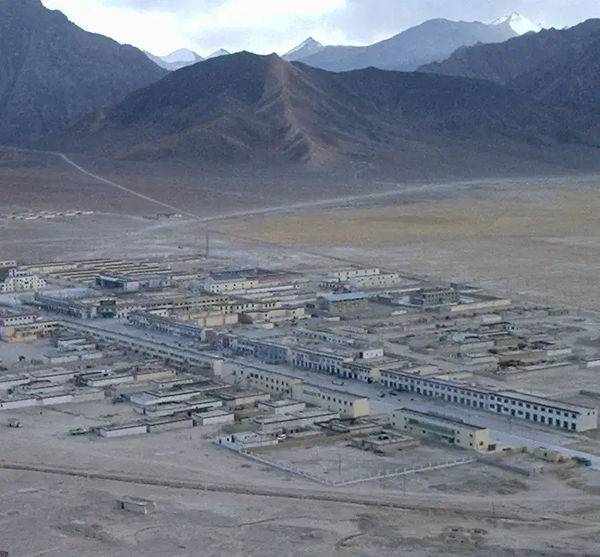
The discovery of Pangong Tso and Rutog is centred around Lake Pangong, Rutog and Dzong Rutog. The stay thus alternates between the shores and the lakes, the mountain reliefs, the natural spaces and the heritage, giving a concrete picture of the destination beyond its only most famous site.
ดูทั้งหมด
For a stay of 3 to 7 days, you must plan a fairly long day. Also to be anticipated: Tibetan permits and border rules to be confirmed and altitude above 4,000 m and long distances without services. A car is usually the easiest way to connect the different sectors. However, some sites require more walking, elevation or preparation.
จุดเด่นและข้อจำกัด
จุดเด่น
- Lake Pangong
- Rutog
- Dzong de Rutog
ควรรู้ก่อนเลือก
- Tibetan permits and border rules to be confirmed
- Altitude greater than 4,000 m and long distances without services
สถานที่ห้ามพลาด
การคัดเลือกเพื่อเริ่มฝันและวางแผนการพัก ไม่ใช่รายการครบถ้วนของทุกสิ่งที่น่าชม
ทะเลสาบ
Lake Pangong
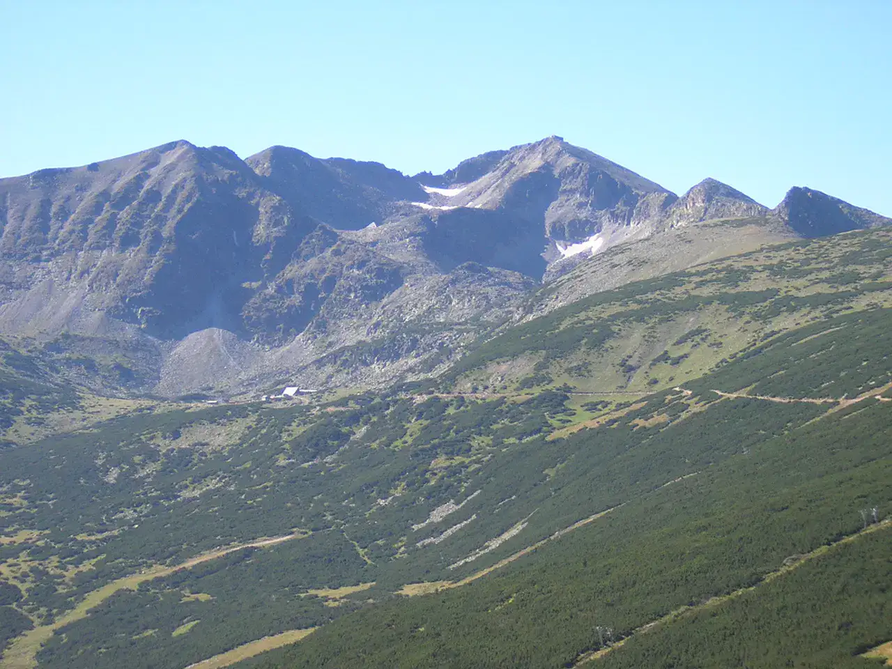
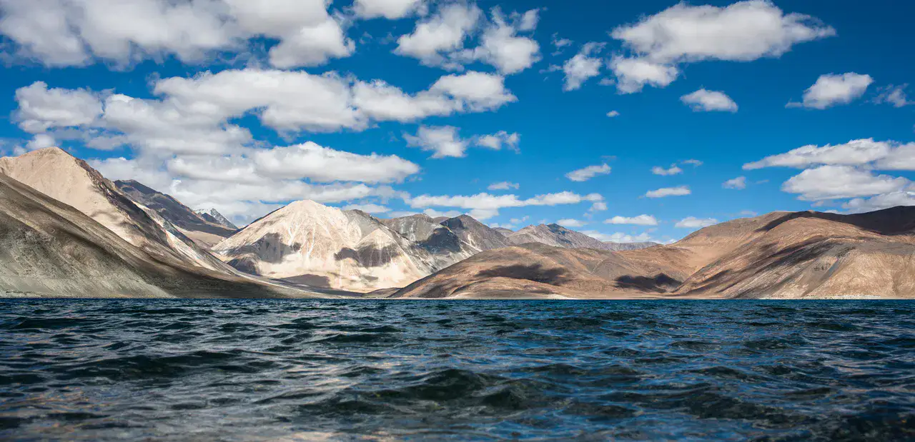
Lake Pangong stretches its salty waters between high plateaus, bare mountains and very dry light, with colors that pass from deep blue to turquoise. The altitude, border controls and distance require a prepared visit, but the contrast between still water and mineral relief remains striking.
Remarkable location
Rutog
Rutog serves as a Tibetan anchoring point on the roads of Lake Pangong, in a landscape of arid mountains, plateaux and mountains. The place is less valid for a long urban visit than for what it reveals from the journey: high perched distances, rare villages, checkpoints and sharp light of the Western Changtang.
Dzong
Dzong de Rutog
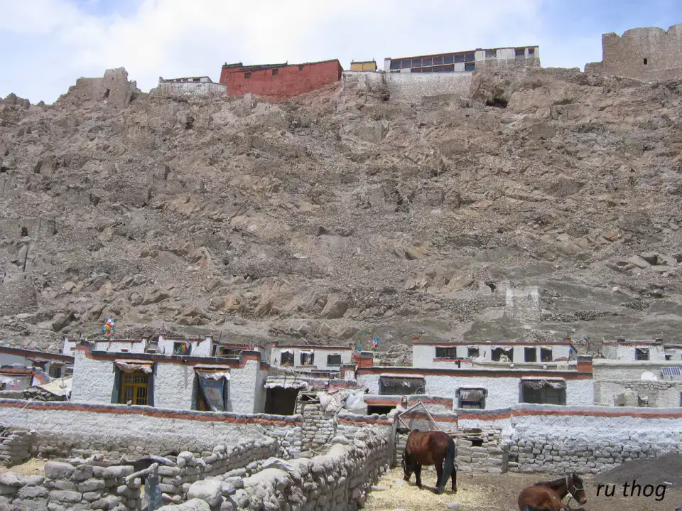
The Rutog dzong dominates the oasis and recalls the former defensive role of Tibetan fortifications in this area of passage. Even reduced to remains, the site offers a concrete reading of the terrain: walls, promontory, inhabited valley and roads that run towards Lake Pangong and the nearby plateaus.
เคล็ดลับที่ใช้ได้จริง
This information helps know if the destination matches the planned trip before starting a fuller search.
เพื่อไปต่อ
กิจกรรมเพิ่มเติม
ร้านอาหาร เส้นทางเดินเล่น วัฒนธรรม กิจกรรมสันทนาการ และทริปเที่ยวที่ค้นหาได้โดยไม่ต้องออกจากหน้าข้อมูลจุดหมายปลายทาง
จุดหมายปลายทางที่ใกล้ที่สุด
ไอเดียที่ใกล้ที่สุดบนแผนที่ เพื่อต่อยอดการเดินทางของคุณ
คล้ายกัน
ภูมิทัศน์และจังหวะการเดินทางแบบเดียวกัน ในที่อื่นของโลก