บันทึกของ Sortavala and Rouskeala
ค้นหาสิ่งที่ซ่อนอยู่เบื้องหลังอนุสรณ์สถาน
Ruskeala’s marble canyon and the Ladoga skerries offer two landscapes of water and rock. Sortavala’s historic centre and Mount Paaso add urban landmarks and relief. The selection brings these separate stops together within their Karelian setting.
สรุปตัวตน
1 ถึง 2 วัน
ฤดูใบไม้ผลิ · ฤดูร้อน · ฤดูใบไม้ร่วง · ฤดูหนาว
ไปได้โดยไม่ต้องใช้รถยนต์ ขึ้นอยู่กับพื้นที่
เมือง · มรดก
การเข้าถึงแตกต่างกันไป
จังหวะสบาย ๆ
ภาพรวมทั่วไป
Sortavala and Rouskeala
Ruskeala’s marble canyon and the Ladoga skerries offer two landscapes of water and rock. Sortavala’s historic centre and Mount Paaso add urban landmarks and relief. The selection brings these separate stops together within their Karelian setting.
Group visits by neighbourhood and confirm bookings with venues. Opening times, available galleries, transport and accessibility conditions may change.
ดูทั้งหมด
Hidengo suggests 1–2 days for the selected stops, excluding international travel and major transfers. Adapt this editorial planning indication to the programme actually available.
จุดเด่นและข้อจำกัด
จุดเด่น
- Rouskeala Marble Canyon
- Historical centre of Sortavala
- Mount Paaso
- Lake Ladoga Skerries
ควรรู้ก่อนเลือก
- Russia: travel is strongly discouraged. Consult official travel advice and confirm visas, transport and local permissions.
สถานที่ห้ามพลาด
การคัดเลือกเพื่อเริ่มฝันและวางแผนการพัก ไม่ใช่รายการครบถ้วนของทุกสิ่งที่น่าชม
Natural landscape
Rouskeala Marble Canyon
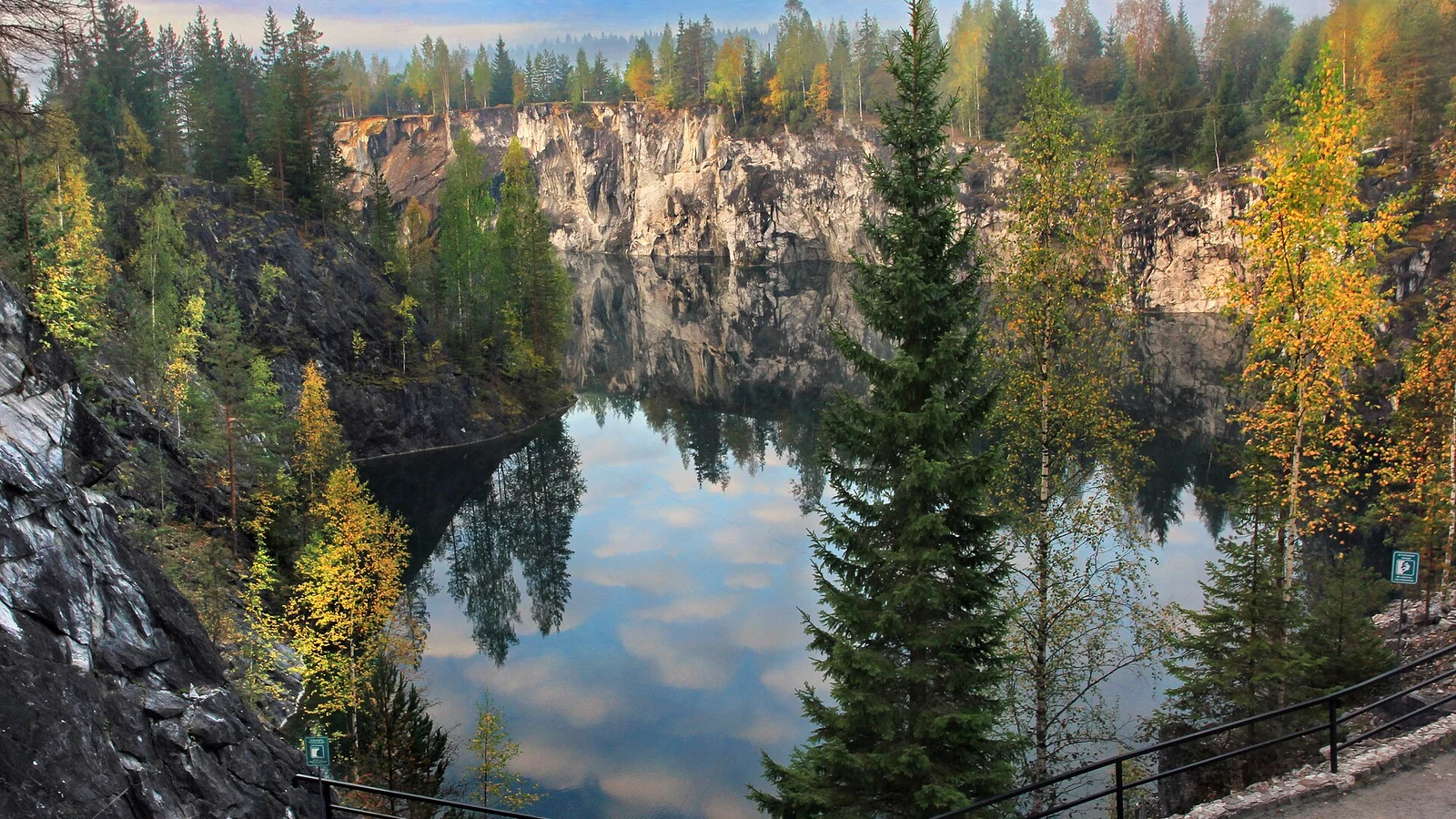
The former quarry’s walls enclose a body of water. Pale stone, fractured rock faces and reflections define Ruskeala; its different visitor routes need to be planned with the park.
Walk and landscape
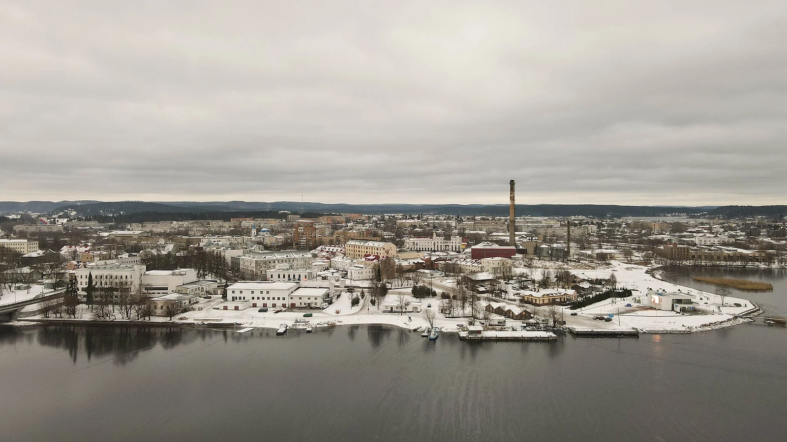
Historical centre of Sortavala
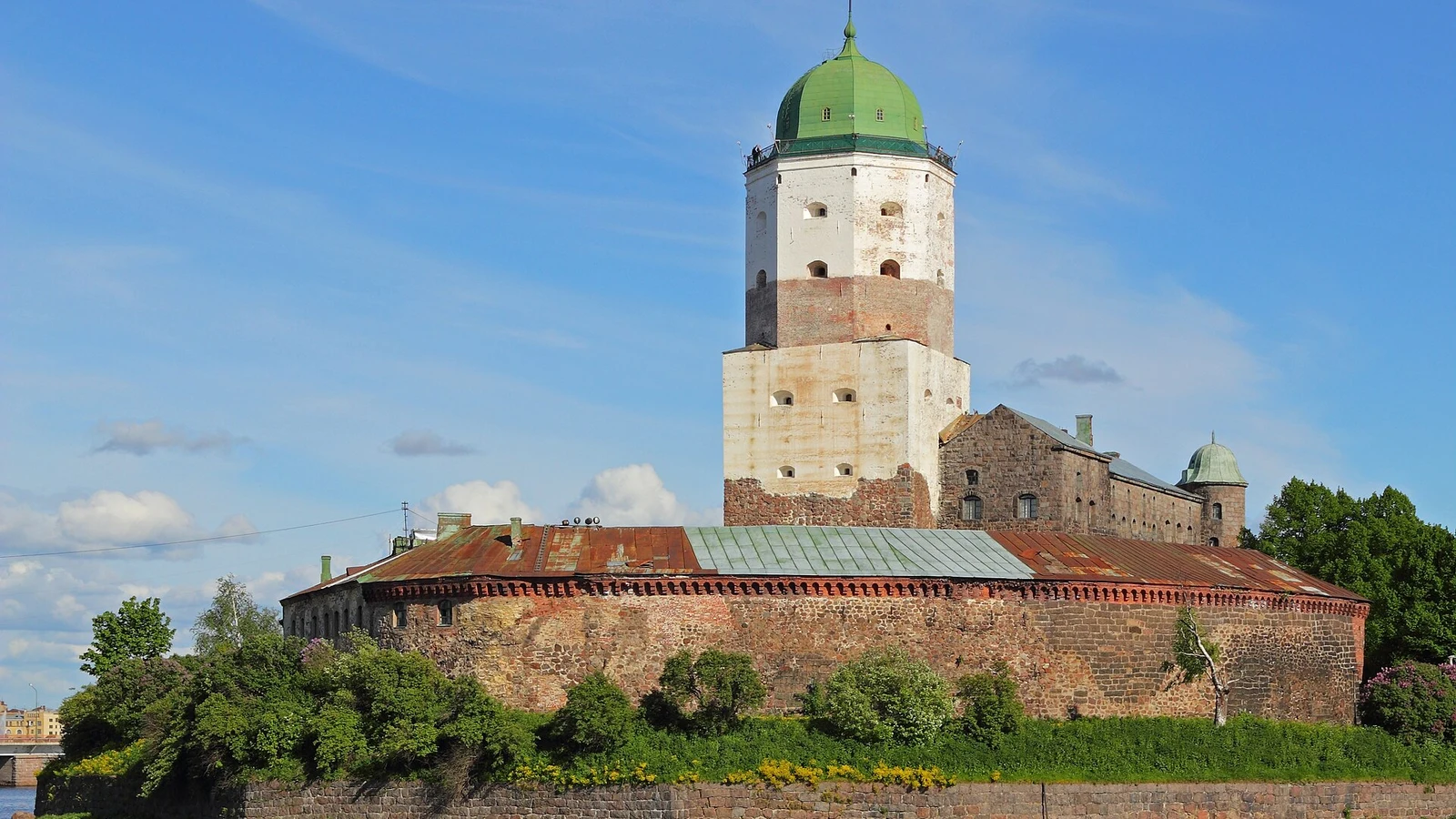
The centre’s streets and facades give Sortavala an urban character distinct from its quarry and lake landscapes. Building forms and their positions reveal the layout of the town centre.
Natural landscape
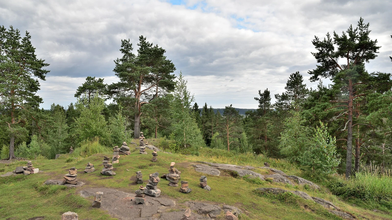
Mount Paaso
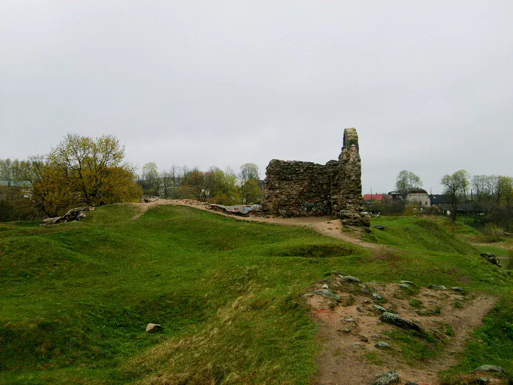
Paaso’s height offers a broader view of the landscape around Sortavala. Rocky slopes, vegetation and gaps in the panorama are its visible focus; interpreting archaeological remains requires documented information.
Natural landscape
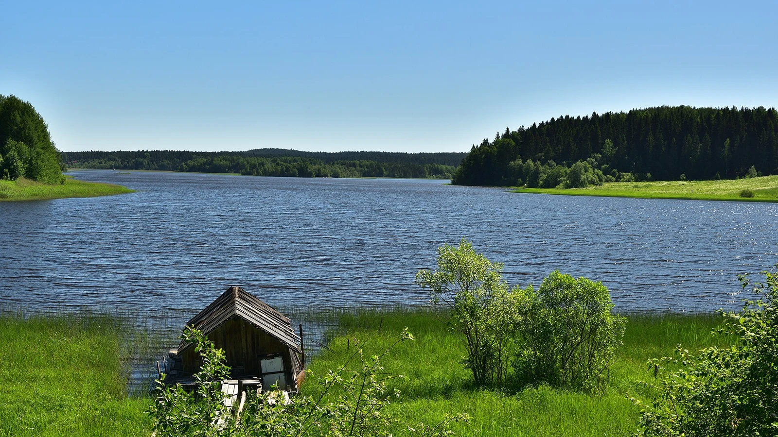
Lake Ladoga Skerries
Rocky islets and wooded shores divide Ladoga into successive views. Water channels between the landforms define this landscape, contrasting with an open lake view without islands.
เคล็ดลับที่ใช้ได้จริง
This information helps know if the destination matches the planned trip before starting a fuller search.
เพื่อไปต่อ
กิจกรรมเพิ่มเติม
ร้านอาหาร เส้นทางเดินเล่น วัฒนธรรม กิจกรรมสันทนาการ และทริปเที่ยวที่ค้นหาได้โดยไม่ต้องออกจากหน้าข้อมูลจุดหมายปลายทาง
จุดหมายปลายทางที่ใกล้ที่สุด
ไอเดียที่ใกล้ที่สุดบนแผนที่ เพื่อต่อยอดการเดินทางของคุณ
คล้ายกัน
ภูมิทัศน์และจังหวะการเดินทางแบบเดียวกัน ในที่อื่นของโลก