สรุปตัวตน
3 ถึง 6 วัน
ฤดูใบไม้ผลิ · ฤดูร้อน · ฤดูใบไม้ร่วง · ฤดูหนาว
แนะนำให้ใช้รถยนต์
ภูเขา · ทะเลทราย · ป่า · ธรรมชาติ
การเข้าถึงแตกต่างกันไป
จังหวะปรับได้
ภาพรวมทั่วไป
Sedona
Red sandstone needles, wooded canyons and paths radiating around a small artistic town.
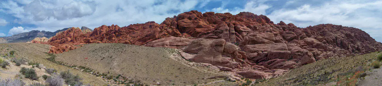
To understand what Sedona is, you have to look at Cathedral Rock, Chapel of the Holy Cross and Bell Rock. These places give us a view of a territory marked by mountain reliefs, desert areas, forests and natural spaces and allow us to move from emblematic sites to more intimate stages.
ดูทั้งหมด
For a stay of 3 to 6 days, it is better to balance visits and travel times. Also to be anticipated: conditions to be checked according to the season. A car is usually the easiest way to connect the different sectors. Accessibility varies from site to site and deserves to be verified step by step.
จุดเด่นและข้อจำกัด
จุดเด่น
- Cathedral Rock
- Chapel of the Holy Cross
- Bell Rock
ควรรู้ก่อนเลือก
- Car often useful
- Conditions to be checked by season
สถานที่ห้ามพลาด
การคัดเลือกเพื่อเริ่มฝันและวางแผนการพัก ไม่ใช่รายการครบถ้วนของทุกสิ่งที่น่าชม
อาสนวิหาร
Cathedral Rock
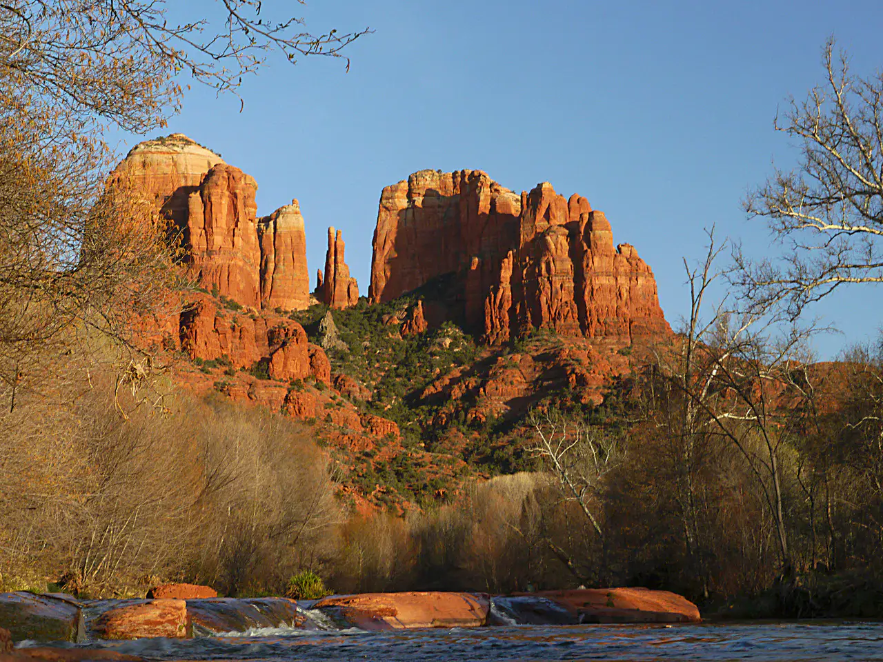
Cathedral Rock sets its red arrows above Oak Creek, with walls that change tone according to the hour. Hiking to the rocky flats is short but steep; it attracts those who want to feel Sedona by the body as well as by the sight.
Place indismissible
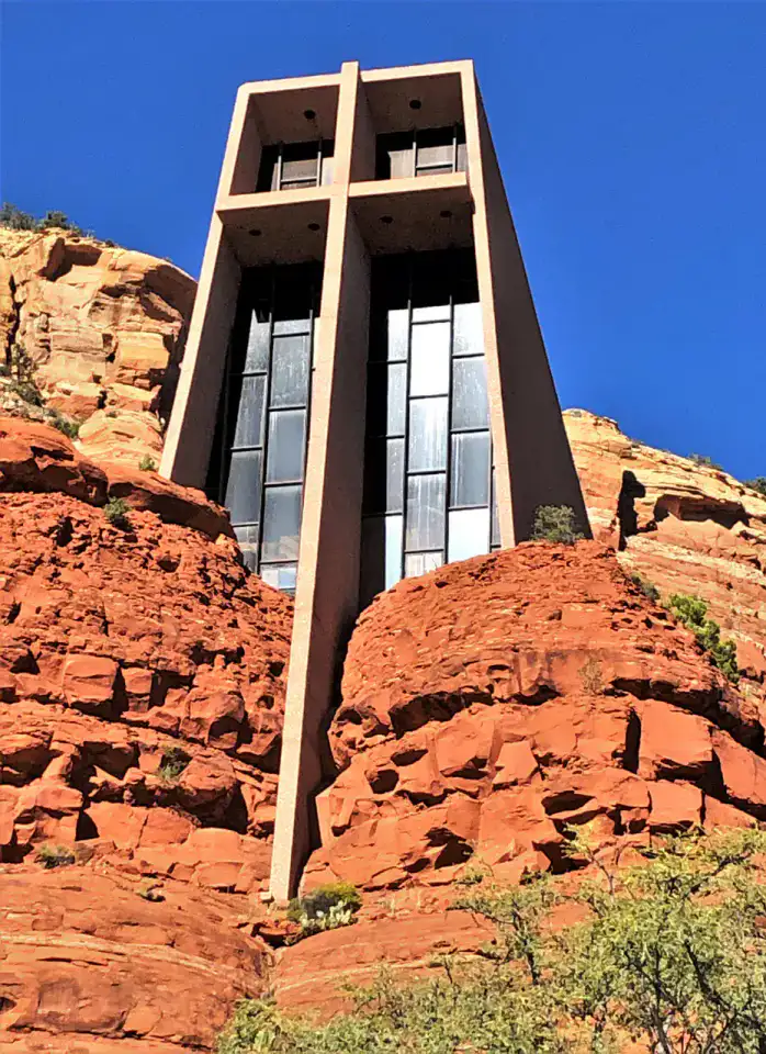
Chapel of the Holy Cross
The Chapel of the Holy Cross is embedded in the red mounds of Sedona, crossed by a large vertical cross that structures the entire facade. Inside, the look goes towards the rock formations by the bay window, which gives the place a rare intensity despite its small size.
Place indismissible
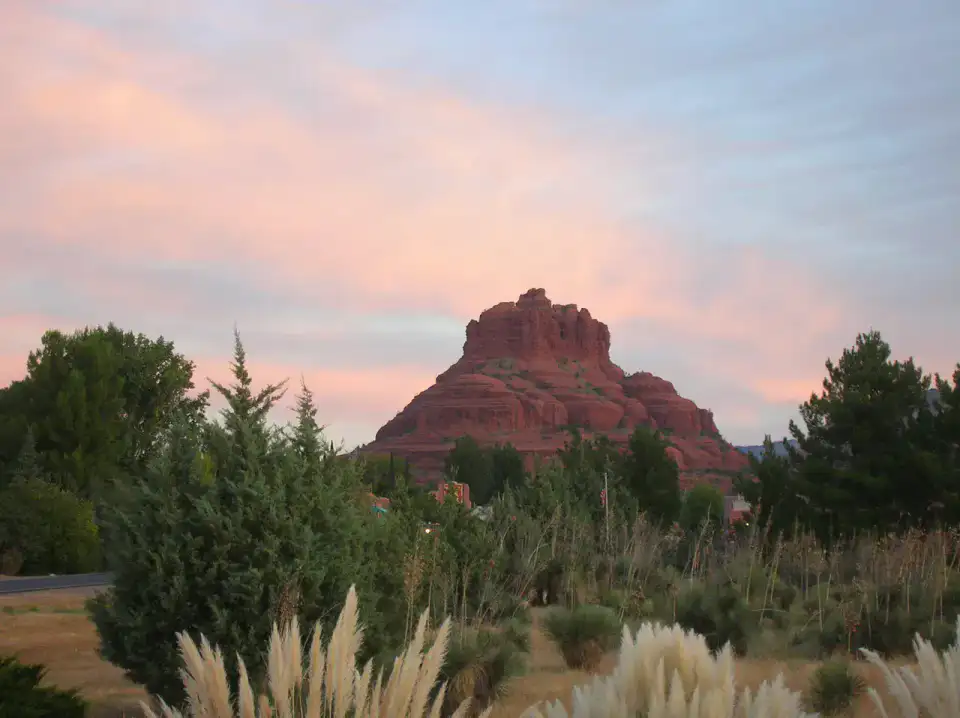
Bell Rock
Bell Rock bears his name: a red mass in the shape of a bell, visible from far south of Sedona. The trails around its base are suitable on several levels, with easy passages to look at the strata and more straight climbs to gain altitude.
Nature and panorama
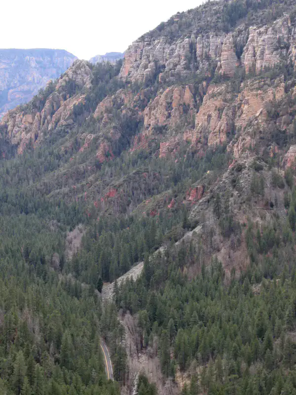
Oak Creek Canyon
Oak Creek Canyon runs a road between Flagstaff and Sedona, with red cliffs, pines, maples and water ribbon at the bottom of the gorge. The bends of the 89A, the viewpoints and access to the creek make it a very concrete transition between wooded plateau and red landscapes.
เคล็ดลับที่ใช้ได้จริง
This information helps know if the destination matches the planned trip before starting a fuller search.
เพื่อไปต่อ
กิจกรรมเพิ่มเติม
ร้านอาหาร เส้นทางเดินเล่น วัฒนธรรม กิจกรรมสันทนาการ และทริปเที่ยวที่ค้นหาได้โดยไม่ต้องออกจากหน้าข้อมูลจุดหมายปลายทาง
จุดหมายปลายทางที่ใกล้ที่สุด
ไอเดียที่ใกล้ที่สุดบนแผนที่ เพื่อต่อยอดการเดินทางของคุณ
ทริปหนีเมืองที่น่าค้นพบ
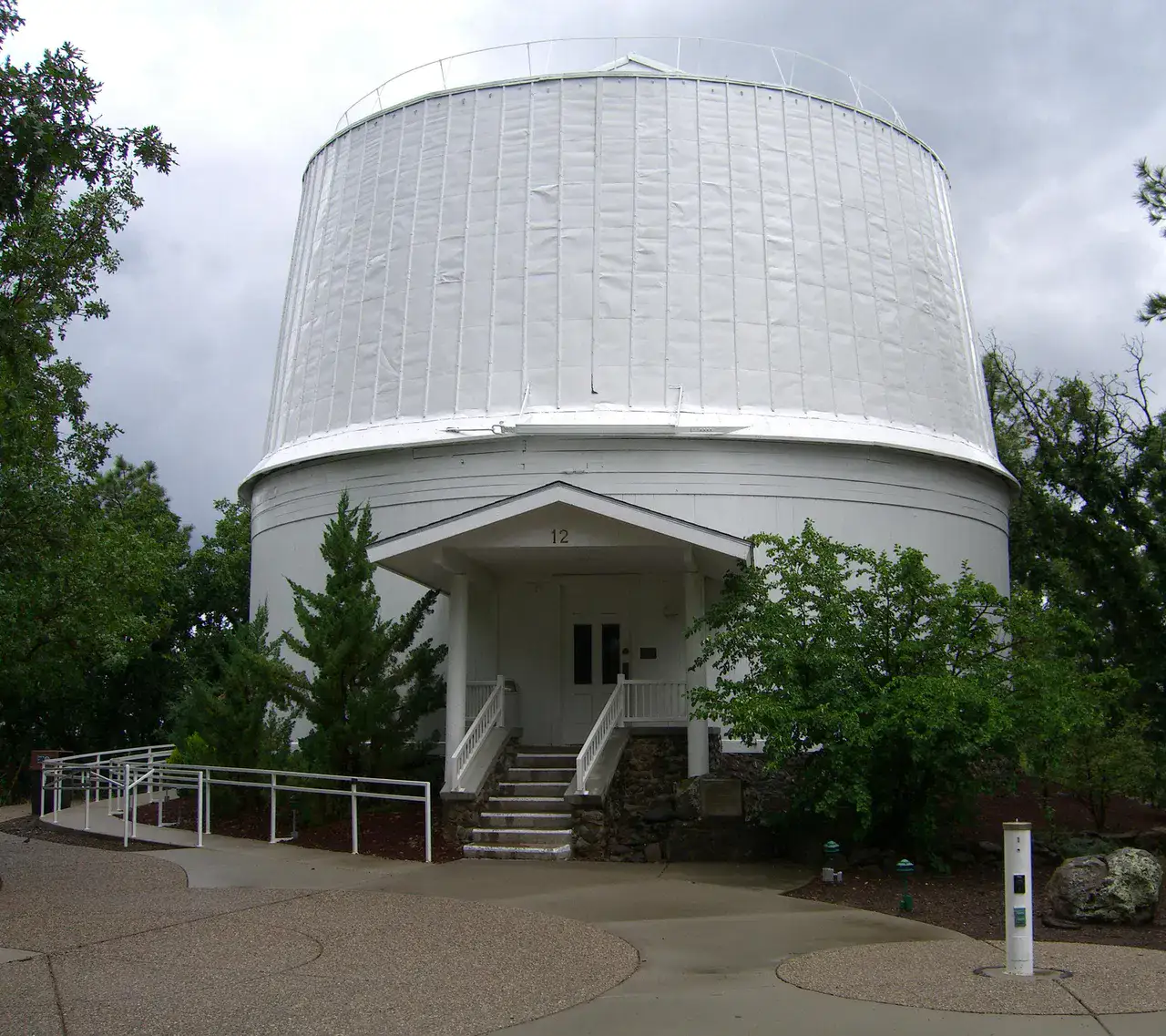
Flagstaff and the volcanoes of northern Arizona
แอริโซนา, 🇺🇸 สหรัฐอเมริกา
ค้นพบไอเดียนี้
คล้ายกัน
ภูมิทัศน์และจังหวะการเดินทางแบบเดียวกัน ในที่อื่นของโลก