สรุปตัวตน
3 ถึง 7 วัน
ฤดูใบไม้ผลิ · ฤดูร้อน · ฤดูใบไม้ร่วง
แนะนำให้ใช้รถยนต์
ชายฝั่ง · ป่า · ภูเขา · ธรรมชาติ
การเข้าถึงแตกต่างกันไป
จังหวะปรับได้
ภาพรวมทั่วไป
Shiretoko Peninsula
Forests, volcanoes, lakes and sea ice protect one of Japan's wildest ecosystems.
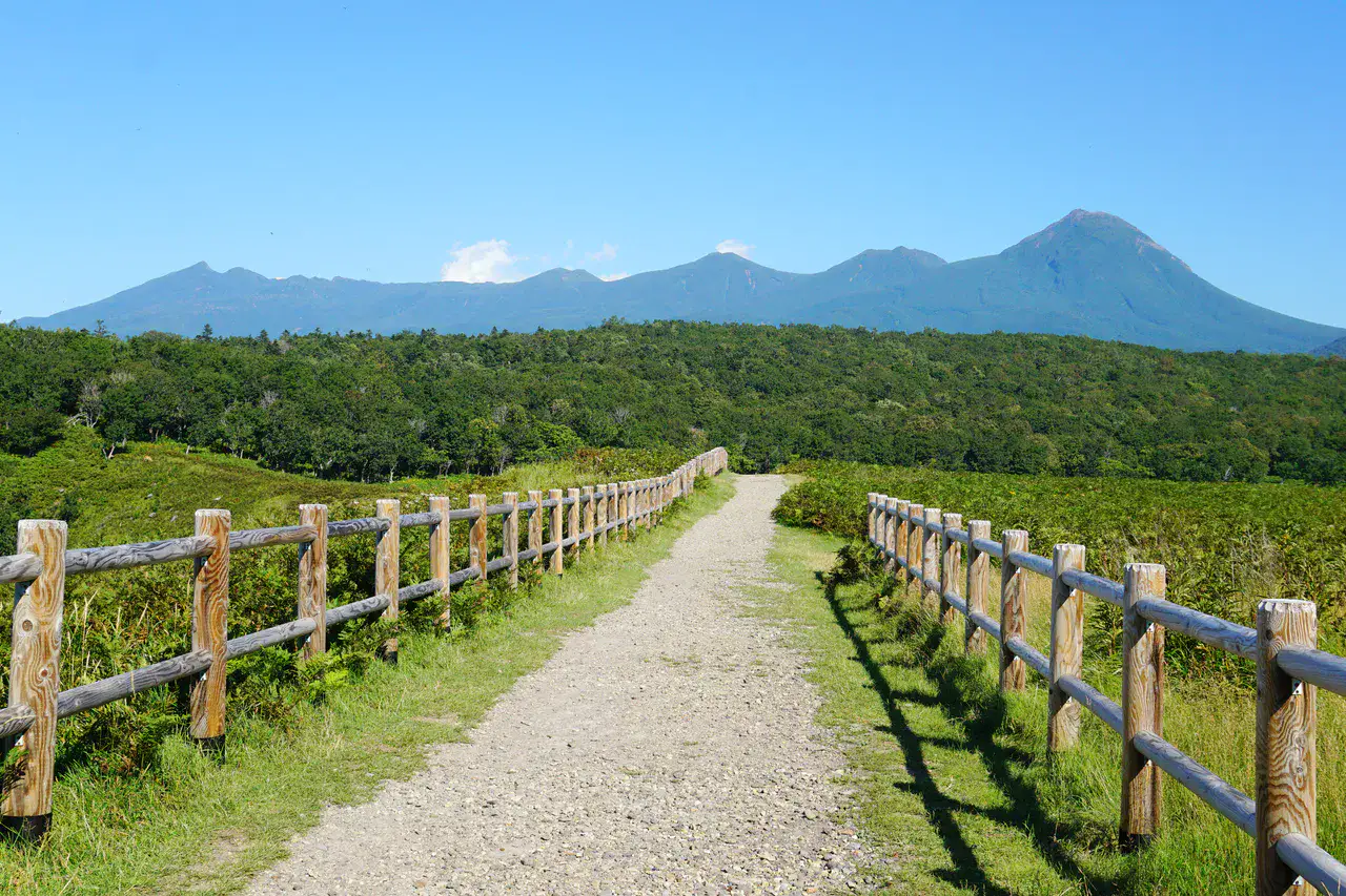
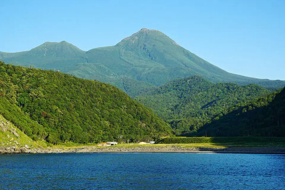
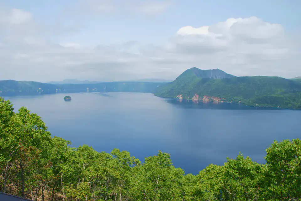
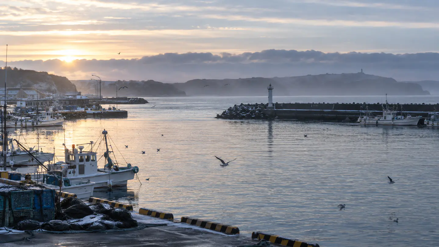
Shiretoko National Park, Rausu Mountain and Mashū Lake give the most telling landmarks of Shiretoko Peninsula. Together, they form a destination where the coastline, forests, mountain reliefs and natural spaces meet, with atmospheres that change over the course of the stages rather than just one uniform decor.
ดูทั้งหมด
For a stay of 3 to 7 days, it is better to balance visits and travel times. Also to be anticipated: transport and openings to be confirmed and weather likely to modify the program. A car is usually the easiest way to connect the different sectors. Accessibility varies from site to site and deserves to be verified step by step.
จุดเด่นและข้อจำกัด
จุดเด่น
- Shiretoko National Park
- Mount Rausu
- Lake Mashū
ควรรู้ก่อนเลือก
- Transport and openings to be confirmed
- Weather likely to change the programme
สถานที่ห้ามพลาด
การคัดเลือกเพื่อเริ่มฝันและวางแผนการพัก ไม่ใช่รายการครบถ้วนของทุกสิ่งที่น่าชม
อุทยานธรรมชาติ
Shiretoko National Park
At the eastern end of Hokkaidō, Shiretoko National Park is a group of cliffs, forests, waterfalls falling to the sea and lakes accessible under conditions. Brown bears, drifting ice in winter and boat trips give the site wild intensity, with safety rules to take seriously.
Remarkable location
Mount Rausu
Mount Rausu dominates the Shiretoko Peninsula and opens up views of the Sea of Okhotsk and the island of Kunashir in clear weather. Its ascent passes through a humid mountain frequented by bears, and is especially suitable for hikers equipped with mud, fog and late snow.
Lake
Lake Mashū
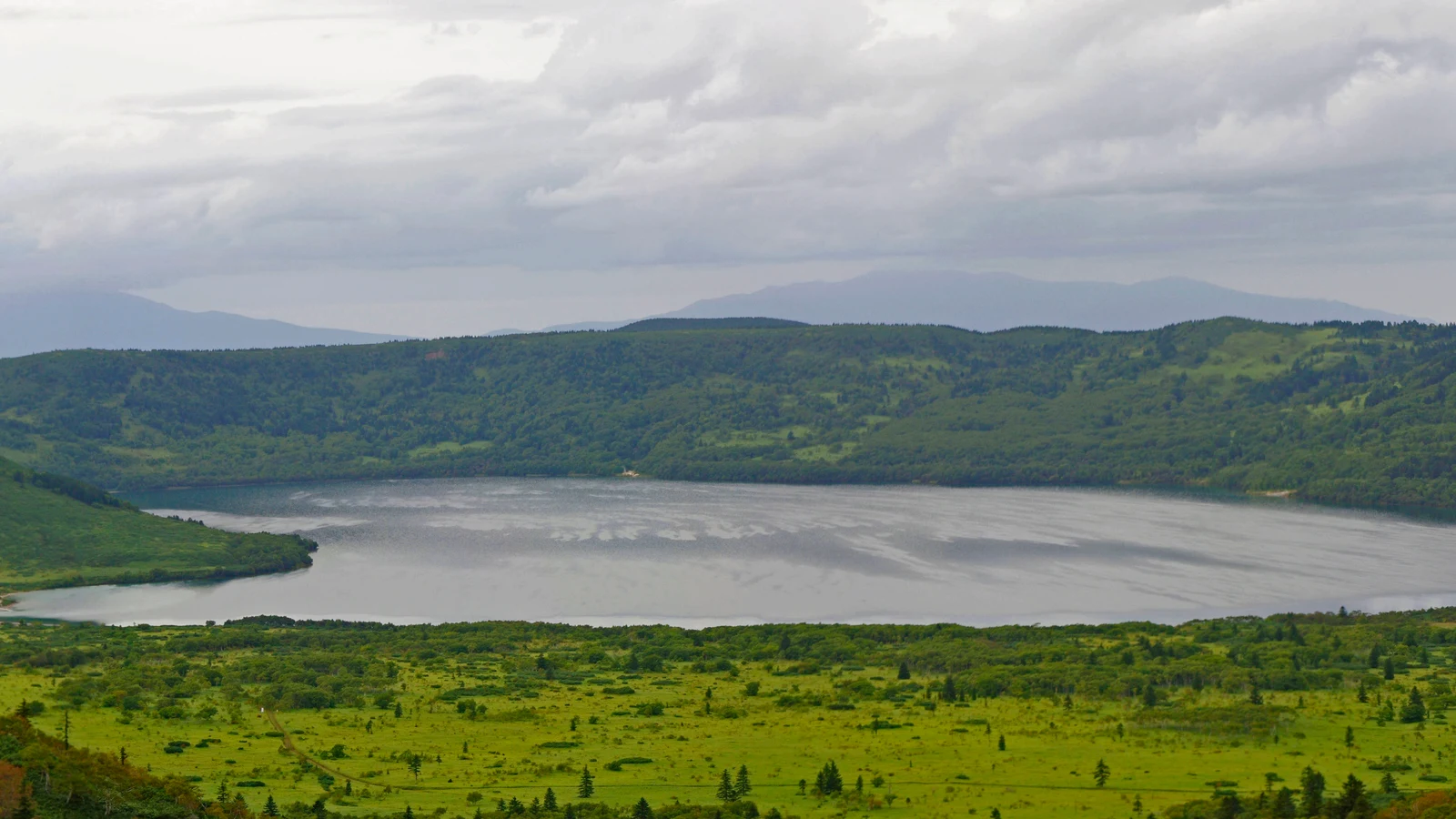
Lake Mashū often appears as a blue mirror enclosed in the walls of a caldeira, sometimes completely swallowed by fog. The gazebos are sufficient to grasp its austerity: no bank fitted for swimming, but a very clear presence in the cold lights of the east of Hokkaidō.
เคล็ดลับที่ใช้ได้จริง
This information helps know if the destination matches the planned trip before starting a fuller search.
เพื่อไปต่อ
กิจกรรมเพิ่มเติม
ร้านอาหาร เส้นทางเดินเล่น วัฒนธรรม กิจกรรมสันทนาการ และทริปเที่ยวที่ค้นหาได้โดยไม่ต้องออกจากหน้าข้อมูลจุดหมายปลายทาง
จุดหมายปลายทางที่ใกล้ที่สุด
ไอเดียที่ใกล้ที่สุดบนแผนที่ เพื่อต่อยอดการเดินทางของคุณ
คล้ายกัน
ภูมิทัศน์และจังหวะการเดินทางแบบเดียวกัน ในที่อื่นของโลก

ทริปหนีเมืองที่น่าค้นพบ
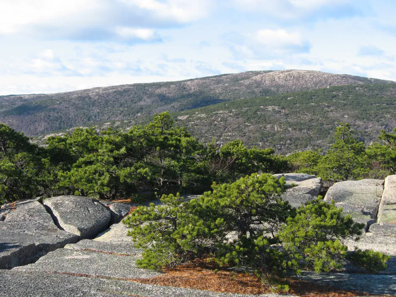
Jijel and the Babor coast
Jijel coast road and coastal slopes of the Babors, 🇩🇿 แอลจีเรีย
ค้นพบไอเดียนี้