สรุปตัวตน
4 ถึง 8 วัน
ฤดูใบไม้ผลิ · ฤดูร้อน · ฤดูใบไม้ร่วง · ฤดูหนาว
แนะนำให้ใช้รถยนต์
เมือง · ทะเลสาบ · ภูเขา · ป่า
เข้าถึงได้สะดวก
จังหวะปรับได้
ภาพรวมทั่วไป
Thunder Bay and the Sleeping Giant
Port city and mountainous peninsula dominate the vastness of Lake Superior in northwestern Ontario.
To understand what Thunder Bay and Sleeping Giant are, you need to look at Sleeping Giant Provincial Park, Kakabeka Falls and Fort William Historical Park. These places give us a view of a territory marked by urban life, the shores and lakes, mountain reliefs and forests and allow us to move from emblematic sites to more intimate stages.
ดูทั้งหมด
For a stay of 4 to 8 days, it is better to balance visits and travel times. Also to be anticipated: conditions to be checked according to the season. A car is usually the easiest way to connect the different sectors. The main sites are generally easy to access.
จุดเด่นและข้อจำกัด
จุดเด่น
- Sleeping Giant Provincial Park
- Kakabeka Falls
- Fort William Historical Park
ควรรู้ก่อนเลือก
- Car often useful
- Conditions to be checked by season
สถานที่ห้ามพลาด
การคัดเลือกเพื่อเริ่มฝันและวางแผนการพัก ไม่ใช่รายการครบถ้วนของทุกสิ่งที่น่าชม
Nature and landscape
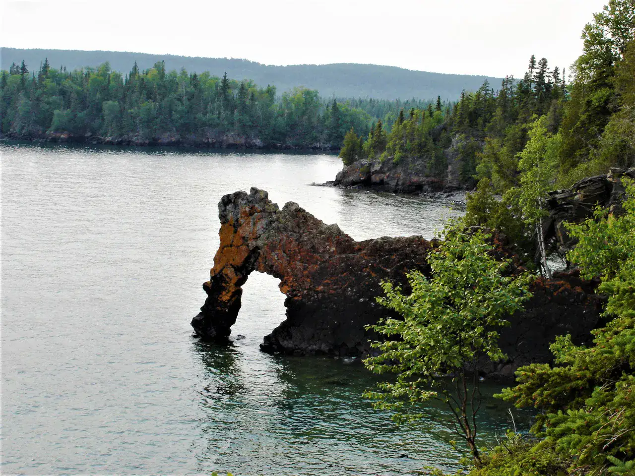
Sleeping Giant Provincial Park
Seen since Thunder Bay, the rocky plateau draws the silhouette of a giant lying on Lake Superior. The trails reach cliffs and vertiginous viewpoints; the hike of the Top of the Giant takes a long day but offers an unforgettable view.
Nature and panorama
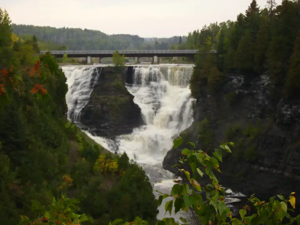
Kakabeka Falls
The Kaministiquia River dives here into a gorge of ancient rocks, with several viewpoints connected by a short walk. The rumbling of the water and the sprays give a real magnitude to the site, especially in the spring or after heavy rains.
Culture and heritage
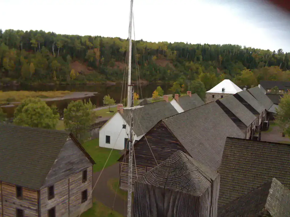
Fort William Historical Park
Fort William re-establishes a large fur trade post in travel time and exchanges with Aboriginal nations. Workshops, warehouses and costumed interpreters make the gestures and tensions of this history much more concrete.
Nature and panorama
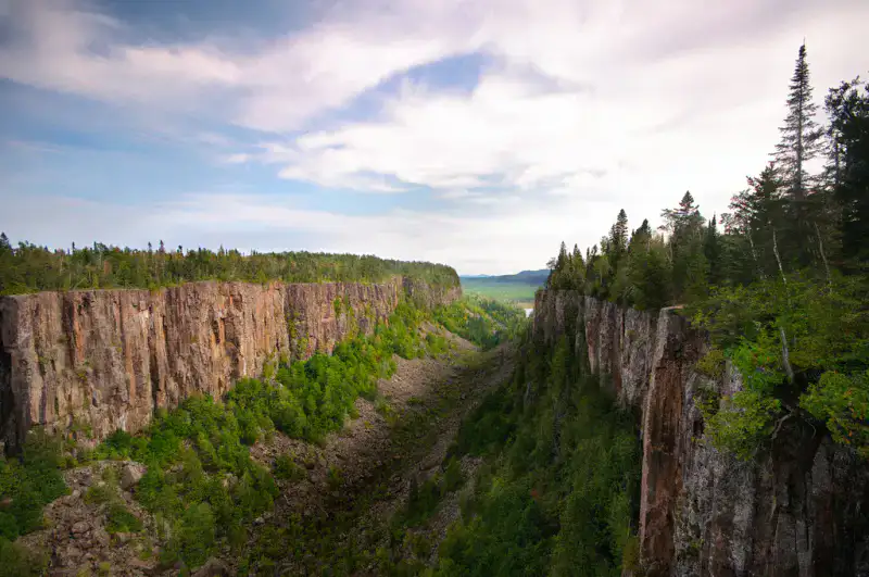
Ouimet Canyon
Ouimet Canyon splits the plateau into a deep gorge with almost vertical walls. Two sightings accessible by a short walk allow to measure the scale and observe surprising arctic vegetation at the bottom of the canyon.
เคล็ดลับที่ใช้ได้จริง
This information helps know if the destination matches the planned trip before starting a fuller search.
เพื่อไปต่อ
กิจกรรมเพิ่มเติม
ร้านอาหาร เส้นทางเดินเล่น วัฒนธรรม กิจกรรมสันทนาการ และทริปเที่ยวที่ค้นหาได้โดยไม่ต้องออกจากหน้าข้อมูลจุดหมายปลายทาง
จุดหมายปลายทางที่ใกล้ที่สุด
ไอเดียที่ใกล้ที่สุดบนแผนที่ เพื่อต่อยอดการเดินทางของคุณ
คล้ายกัน
ภูมิทัศน์และจังหวะการเดินทางแบบเดียวกัน ในที่อื่นของโลก