身份摘要
理想時長
4 至 6 天
最佳時間
春季 · 秋季
汽車
建議開車
旅程型別
沙漠 · 自然 · 遺產
無障礙
無障礙條件有限
節奏
節奏可調
概述
Mangystau — plateaus and shrines
Mangystau combines arid plateaus, limestone formations and underground shrines. Long distances, limited services and rough tracks require a route prepared with a local guide.
Check access, reservations and opening hours with the site before visiting.
亮點與限制
亮點
- Bozzhira
- Valley of Torysh concretions
- Mount Sherkala
- Beket Ata Shrine
- Shakpak Ata Shrine
- Karagiye Depression
選擇前須知
- Check access, reservations and opening hours with the site before visiting.
- Indicative Hidengo duration, excluding transport; it varies with the route, access and local conditions.
必去之地
一份幫你開始憧憬和安排旅程的精選——並非所有可看之處的完整清單。
Geological relief
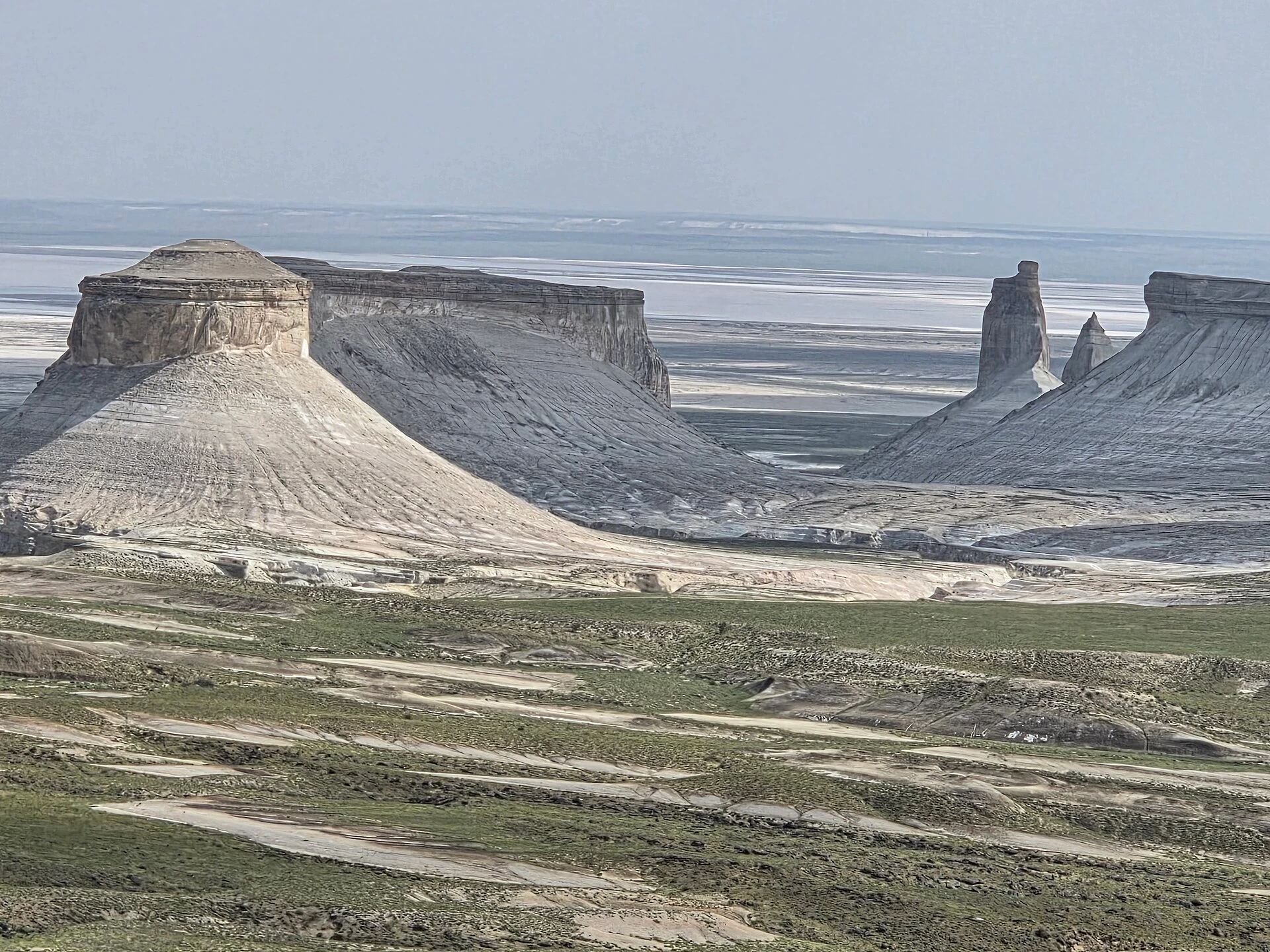
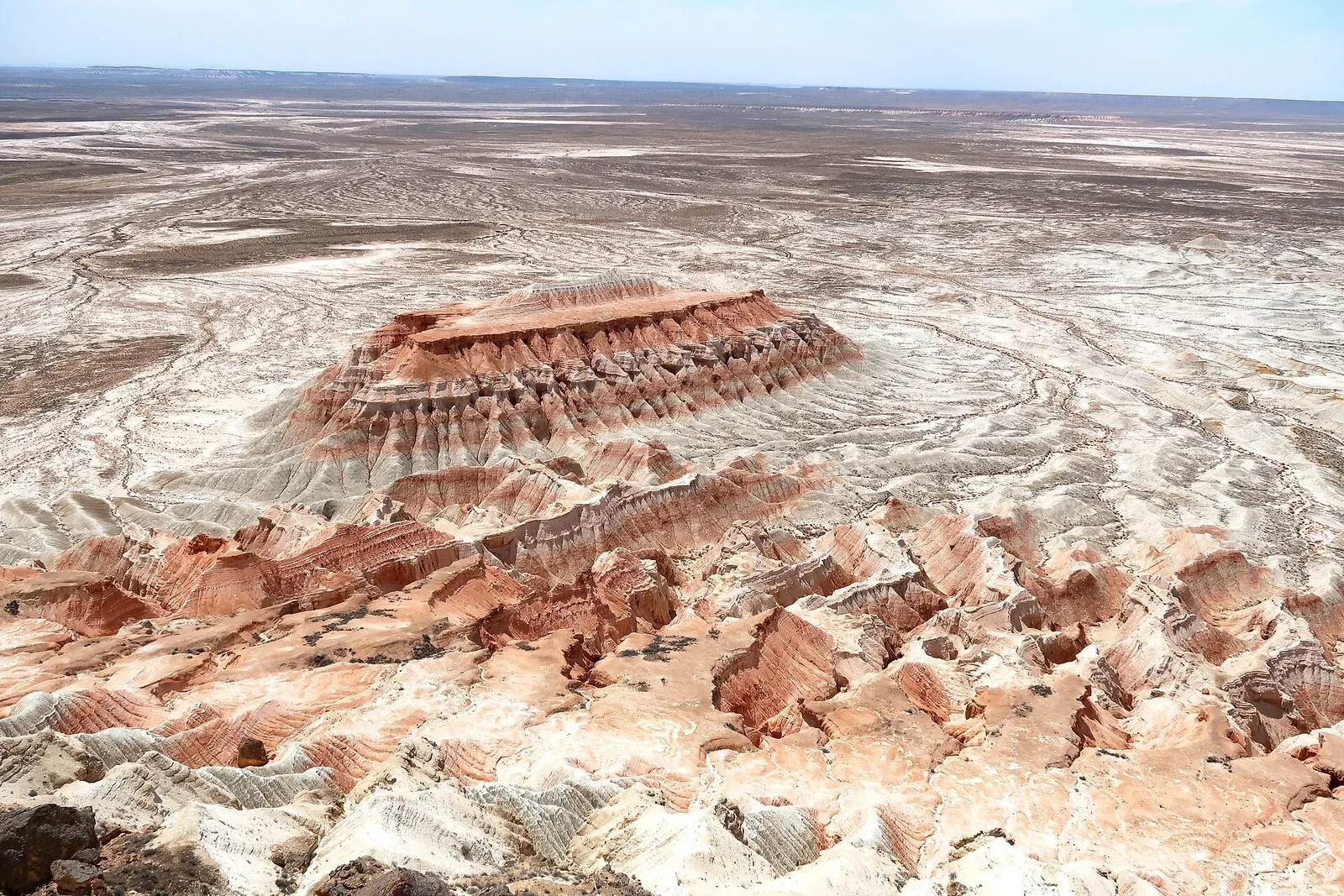
Bozzhira
4.9 / 5· Hidengo≈ Half a day on site
Bozzhira displays limestone cliffs and pinnacles of the Ustyurt Plateau. Edges are fragile; use authorised approaches and do not drive across sensitive ground.
Geological site
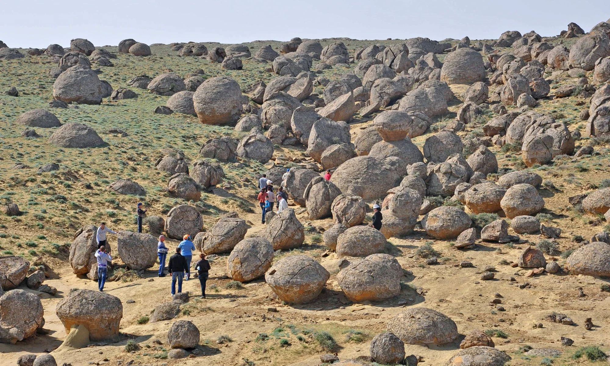
Valley of Torysh concretions
4.5 / 5· Hidengo≈ 1–2 h
Torysh is known for its rounded rock concretions. Observe them without moving them or taking fragments.
Mountain
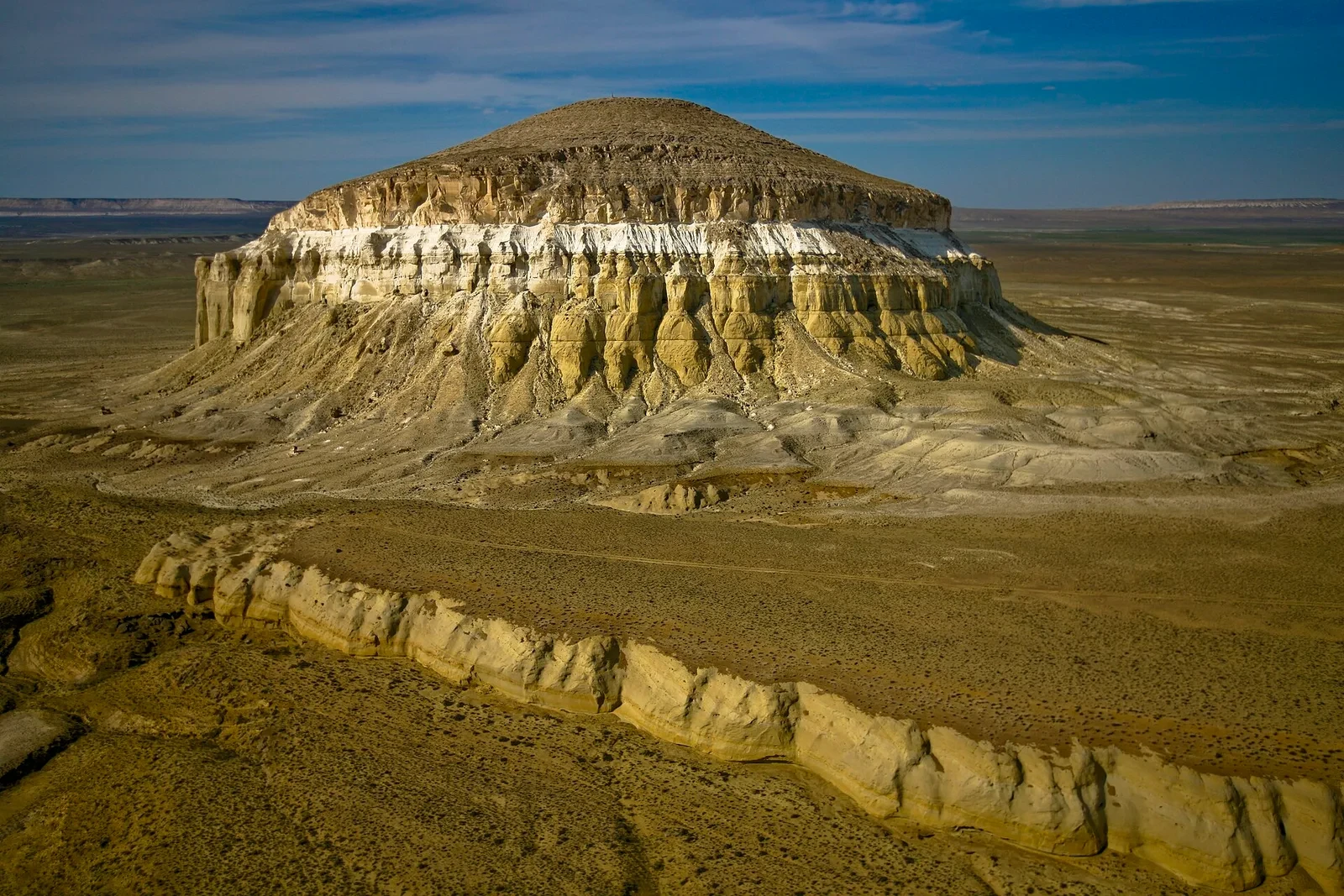
Mount Sherkala
4.5 / 5· Hidengo≈ 1–2 h
Sherkala is an isolated mountain with steep slopes. Viewing it does not imply that climbing or entry to caves is possible.
Underground sanctuary
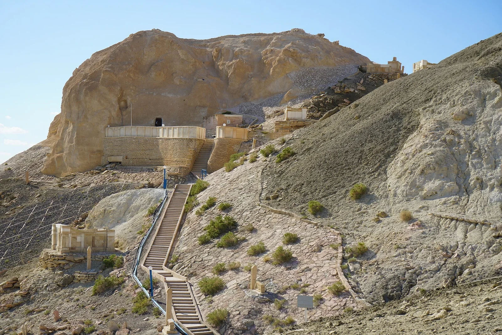
Beket Ata Shrine
4.6 / 5· Hidengo≈ 1–2 h
Beket Ata is a place of pilgrimage dug into the rock. Respect rites and prepare stairs, heat and distance.
實用建議
This information helps know if the destination matches the planned trip before starting a fuller search.
Car recommended or needed to enjoy the destination
Ideal duration: 4 to 6 days
Favourable seasons: spring, autumn
Accessibility to be checked for specific locations
延伸閱讀
更多活動
無需離開目的地頁面,即可搜尋餐廳、散步路線、文化、休閒和出遊活動。
主題宇宙中的這個目的地
正在載入主題宇宙…
最近的目的地
地圖上最近的靈感,讓旅程延續下去。
相似的目的地
世界其他地方的相似風景和旅行節奏。

照片來源
圖片:IvarT, CC0Alexandr Babkin, CC BY-SA 4.0Ashina, CC BY-SA 3.0Yakov Fedorov, CC BY-SA 4.0 照片 1照片 2Thermokarst, CC BY-SA 3.0