身份摘要
2 至 4 天
春季 · 夏季 · 秋季 · 冬季
建議開車
城市 · 河流 · 沙漠 · 遺產
無障礙條件良好
節奏輕柔
概述
Medicine Hat
The sunny town of South Saskatchewan River, shaped by clay, natural gas and dry sinks.
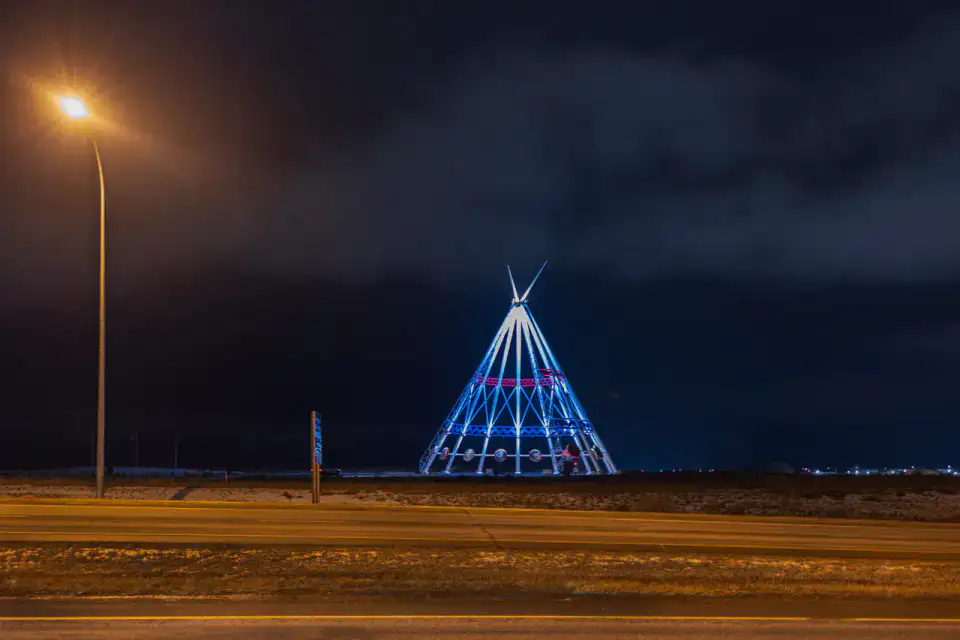
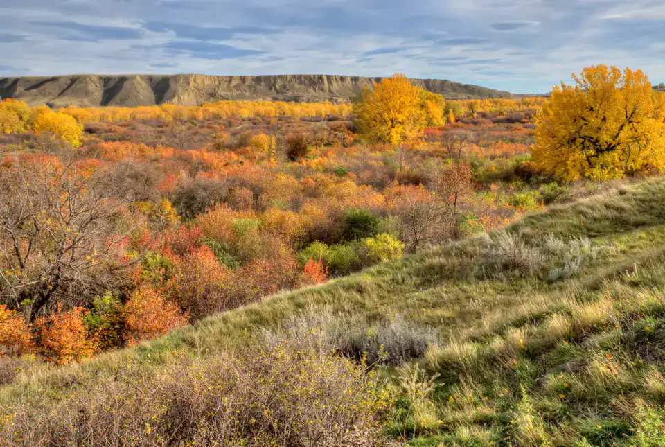
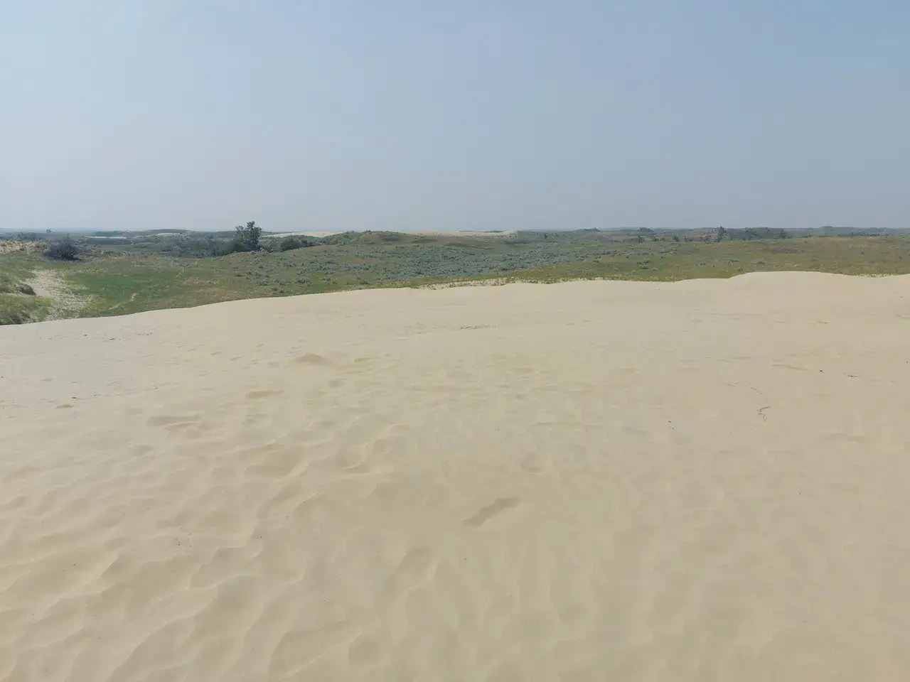
To understand what Medicine Hat is, you need to look at the side of Medalta in the Historic Clay District, Saamis Tepee and Police Point Park. These places give you a view of a territory marked by urban life, riverscapes, desert areas and heritage and allow you to move from emblematic sites to more intimate stages.
檢視全部
For a stay of 2 to 4 days, a quiet rhythm works well. Also to be anticipated: variable influx depending on the season. A car is usually the easiest way to connect the different sectors. The main sites are generally easy to access.
亮點與限制
亮點
- Medalta in the Historic Clay District
- Saamis Tepee
- Police Point Park
選擇前須知
- Variable frequency depending on season
- Parking to anticipate in the center
必去之地
一份幫你開始憧憬和安排旅程的精選——並非所有可看之處的完整清單。
Culture and heritage
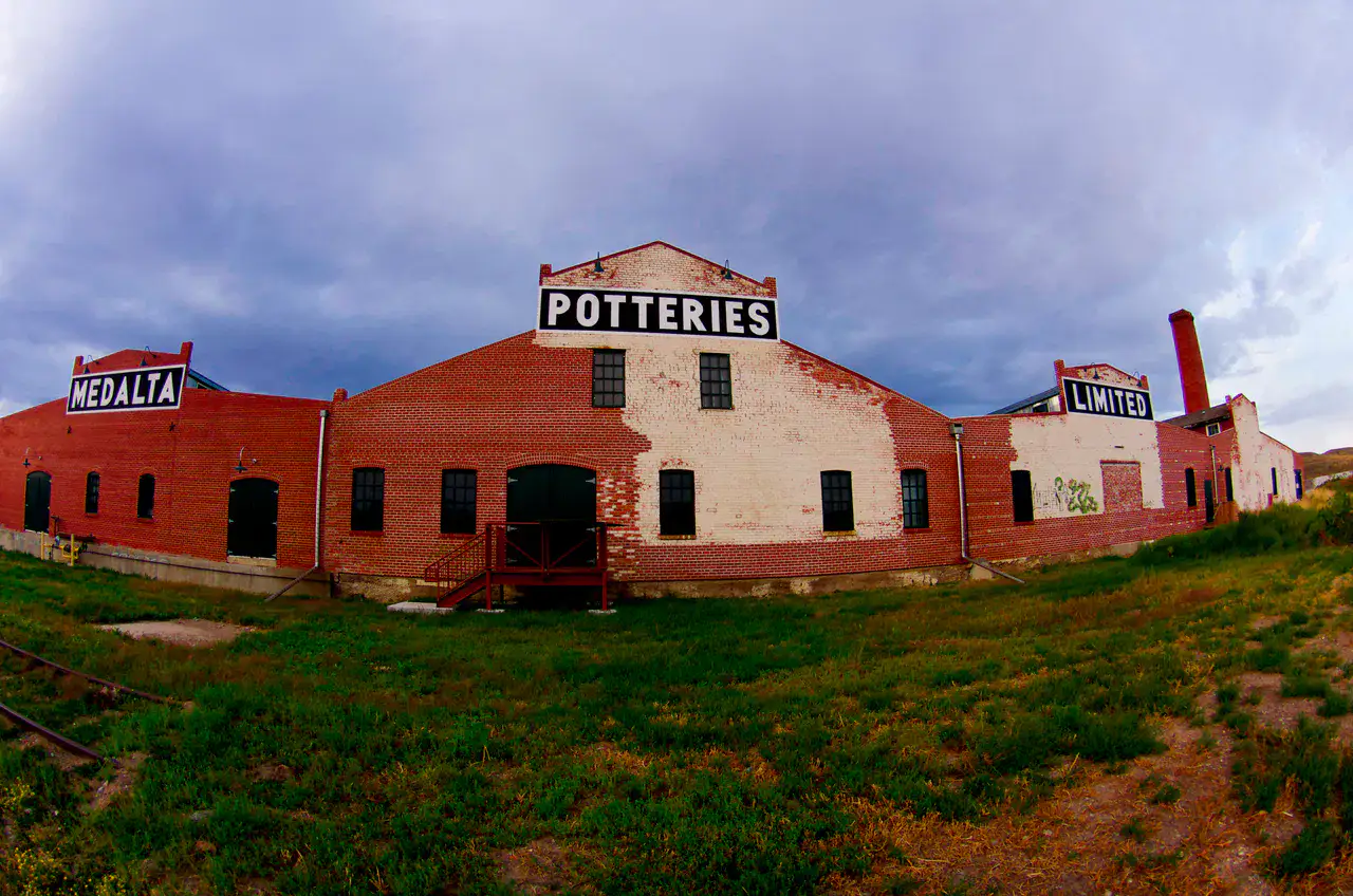
Medalta in the Historic Clay District
Medalta preserves the ovens, workshops and warehouses that have made Medicine Hat In the old clay district, bricks, moulds, pots and chimneys tell a very material story: natural gas, local clay and daily production.
Place indismissible
Saamis Tepee
The Saamis Tepee erects its metal structure above Medicine Hat, visible from the vicinity of the Trans-Canada Highway. Its painted panels evoke native Plains narratives and symbols, while the gazebo opens onto the valley, dry hills and the city.
Nature and landscape
Police Point Park
Police Point Park Protects a South Saskatchewan River loop with trails, silver poplars and bird watching areas. Medicine Hat far from wide roads, especially when light descends on cliffs and dry grasses.
實用建議
This information helps know if the destination matches the planned trip before starting a fuller search.
延伸閱讀
更多活動
無需離開目的地頁面,即可搜尋餐廳、散步路線、文化、休閒和出遊活動。
最近的目的地
地圖上最近的靈感,讓旅程延續下去。
相似的目的地
世界其他地方的相似風景和旅行節奏。