身份摘要
3 至 6 天
春季 · 夏季 · 秋季 · 冬季
建议开车
海岸 · 遗产 · 自然
无障碍条件不一
节奏轻柔
概述
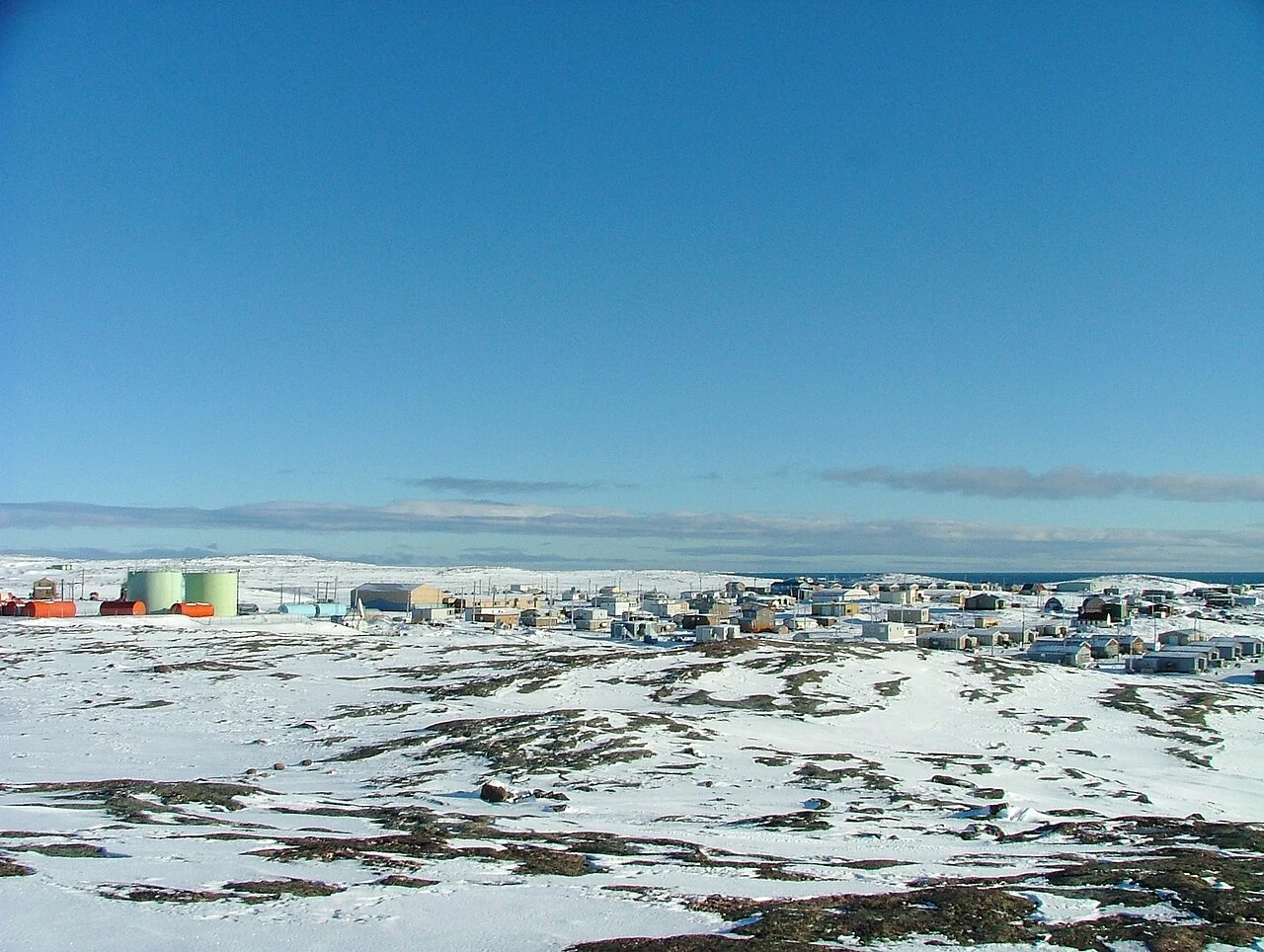
Rankin Inlet
Kivalliq's carrefour between tundra, Hudson Bay coast, Inuit art and mining memory.
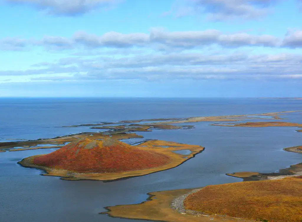
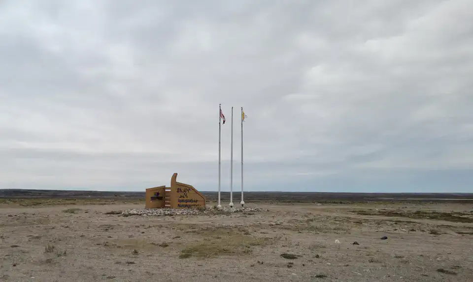
To understand what Rankin Inlet is, look at Rankin Inlet, Iqalugaarjuup Nunanga Territorial Park and Diana River. These places give you a view of a territory marked by the coastline, heritage and natural spaces and allow you to move from emblematic sites to more intimate stages.
查看全部
For a stay of 3 to 6 days, a quiet rhythm works well. Also to be anticipated: conditions to be checked according to the season. A car is usually the easiest way to connect different sectors. Accessibility varies from site to site and deserves to be checked step by step.
亮点与限制
亮点
- Rankin Inlet
- Iqalugaarjuup Nunanga Territorial Park
- Diana River
选择前须知
- Car often useful
- Conditions to be checked by season
必去之地
一份帮你开始憧憬和安排旅程的精选——并非所有可看之处的完整清单。
Must-see place
Rankin Inlet
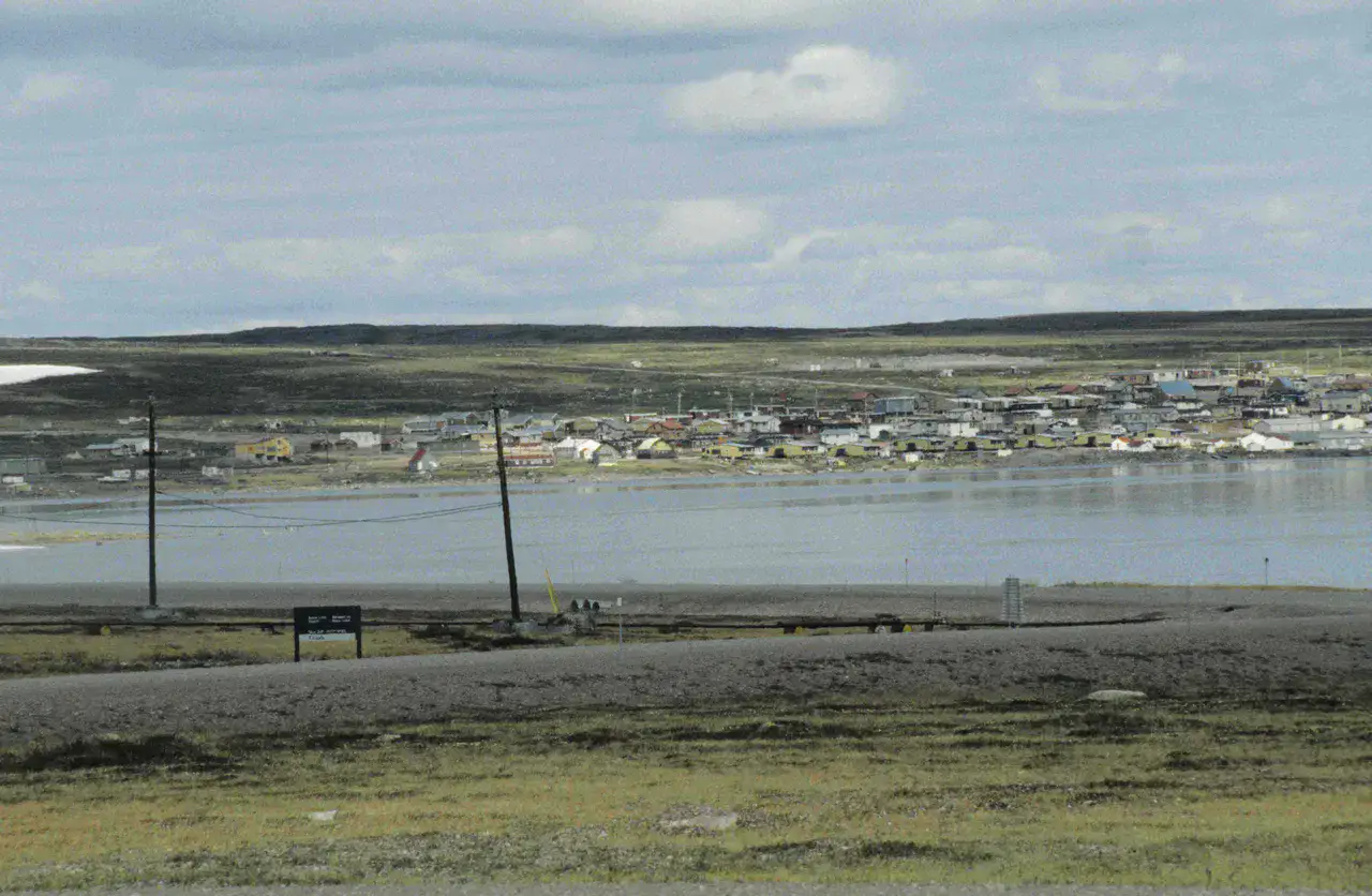
Rankin Inlet This includes the Hudson Bay shoreline, tundra, artistic creation and traces of an ancient mining activity. Exploreing the community with a local guide helps to overcome the austere appearance of the landscape and understand its central role in the Kivalliq.
自然公园
Iqalugaarjuup Nunanga Territorial Park
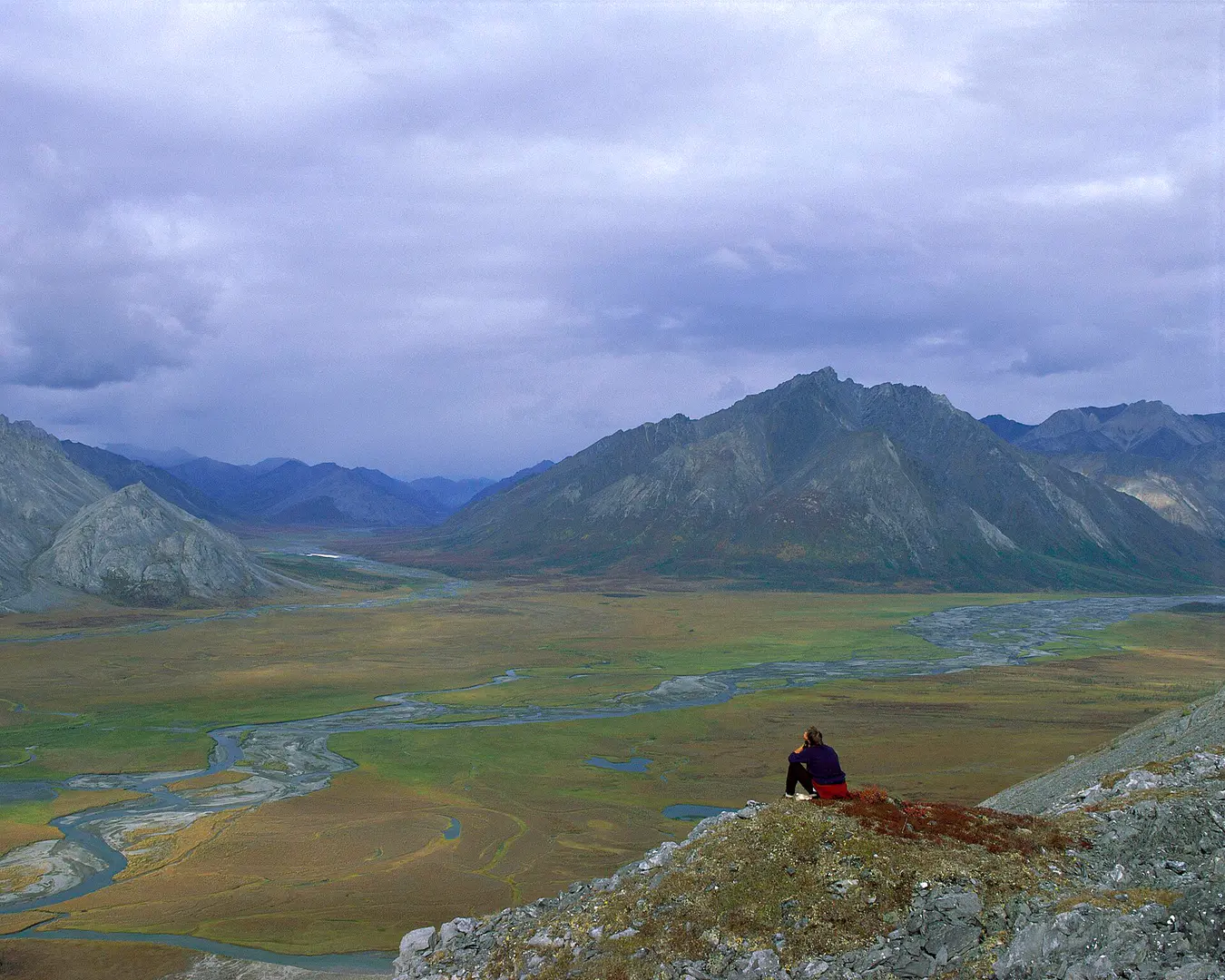
The Meliadine River crosses a tundra valley with archaeological sites and fishing grounds. Rankin Inlet allow to approach the history of the territory while observing birds and changes of light.
河流
Diana River
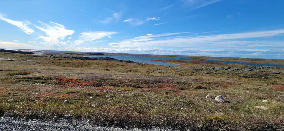
The Diana River cross the tundra west of Rankin Inlet Before reaching Hudson Bay. Local outings look for Arctic char, birds and great horizons, with a landscape that changes profoundly between summer and the frozen season.
实用建议
This information helps determine whether the destination suits the planned trip before further research.
延伸阅读
更多活动
无需离开目的地页面,即可搜索餐厅、散步路线、文化、休闲和出游活动。
最近的目的地
地图上最近的灵感,让旅程延续下去。
相似的目的地
世界其他地方的相似风景和旅行节奏。